
Holden House
1554 Midway Pky,
Saint Paul, MN 55108
$1,115 - $2,690 Plus Fees
Studio - 3 Beds 12 Month Lease
Bedrooms
2 bd
Bathrooms
1 ba
Square Feet
800 sq ft

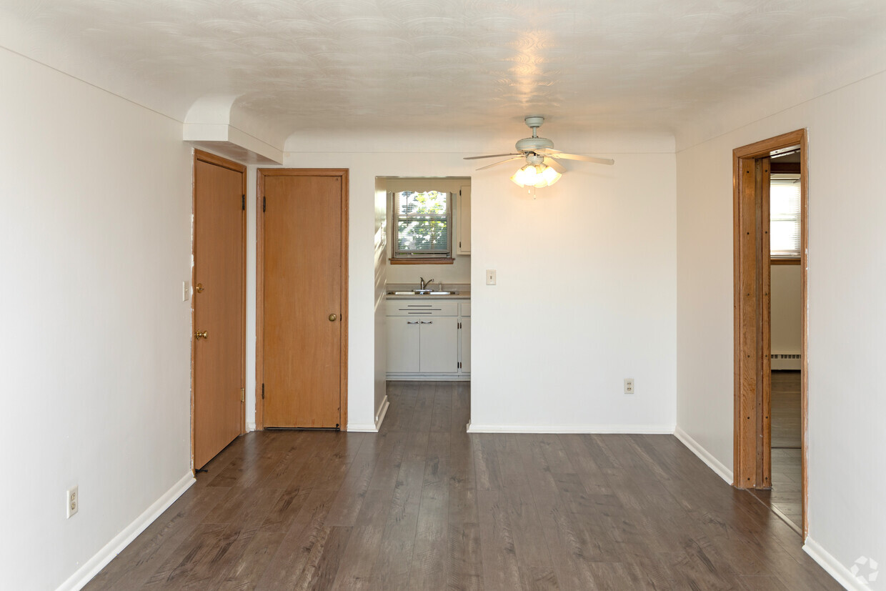
Enjoy this vintage 12-unit apartment building on the corner of St. Clair and Dunlap with easy access to Ayd Mill Road and Lexington Avenue. This quiet property is professionally managed with quick digital access for maintenance requests and rent payment. Brand new carpet in common areas, laundry on-site, and a smoke-free building. Owner pays for heat, water, sewer, trash, and recycling. Renter pays for cooking gas and electricity. - Pets: Cats allowed $25 per month fee. Sorry, no dogs. - Non-smoking building. - Assigned storage unit. - On-Site Laundry - $15 dollars per month. - Heat, Water, Sewer, Trash included in the rent. - Resident pays electricity and cooking gas. - Off-street parking available. - $65 application fee per applicant (one time). - Liability to Landlord Insurance: $10.50 per month, waived if residents have their own insurance for at least $100,000 in personal liability coverage.
Enjoy this vintage 12-unit apartment building on the corner of St. Clair and Dunlap with easy access to Ayd Mill Road and Lexington Avenue. This quiet property is professionally managed with quick digital access for maintenance requests and rent payment. Brand new carpet in common areas, laundry on-site, and a smoke-free building. Owner pays for heat, water, sewer, trash, and recycling. Renter pays for cooking gas and electricity. - Pets: Cats allowed $25 per month fee. Sorry, no dogs. - Non-smoking building. - Assigned storage unit. - On-Site Laundry - $15 dollars per month. - Heat, Water, Sewer, Trash included in the rent. - Resident pays electricity and cooking gas. - Off-street parking available. - $65 application fee per applicant (one time). - Liability to Landlord Insurance: $10.50 per month, waived if residents have their own insurance for at least $100,000 in personal liability coverage.
Dunlap Apartments is an apartment community located in Ramsey County and the 55105 ZIP Code. This area is served by the St. Paul Public attendance zone.
Situated in beautiful Saint Paul along the eastern border of Minneapolis, the Summit Hill neighborhood features oak-lined boulevards and historic Victorian mansions. Considering its location three miles west of downtown Saint Paul and eight miles east of downtown Minneapolis, this area an ideal neighborhood for commuters to either city. The centerpieces of the pedestrian-friendly neighborhood are its stately cathedral and its bustling commercial center along Grand Avenue. Summit Avenue was recently named one of America’s 10 Great Streets by the American Planning Association.
Home to locally and nationally owned restaurants, galleries and businesses, Summit Hill provides a safe, historic and vibrant community for both homeowners and renters.
Learn more about living in Summit Hill| Colleges & Universities | Distance | ||
|---|---|---|---|
| Colleges & Universities | Distance | ||
| Drive: | 3 min | 1.2 mi | |
| Drive: | 3 min | 1.4 mi | |
| Drive: | 7 min | 2.4 mi | |
| Drive: | 7 min | 3.1 mi |


Transportation options available in Saint Paul include Lexington Pkwy Station, located 1.7 miles from Dunlap Apartments. Dunlap Apartments is near Minneapolis-St Paul International/Wold-Chamberlain, located 6.8 miles or 13 minutes away.
| Transit / Subway | Distance | ||
|---|---|---|---|
| Transit / Subway | Distance | ||
| Drive: | 5 min | 1.7 mi | |
| Drive: | 5 min | 2.1 mi | |
| Drive: | 5 min | 2.3 mi | |
| Drive: | 5 min | 2.5 mi | |
| Drive: | 5 min | 2.6 mi |
| Commuter Rail | Distance | ||
|---|---|---|---|
| Commuter Rail | Distance | ||
|
|
Drive: | 8 min | 3.7 mi |
|
|
Drive: | 17 min | 8.7 mi |
|
|
Drive: | 26 min | 17.3 mi |
|
|
Drive: | 35 min | 26.1 mi |
|
|
Drive: | 37 min | 27.7 mi |
| Airports | Distance | ||
|---|---|---|---|
| Airports | Distance | ||
|
Minneapolis-St Paul International/Wold-Chamberlain
|
Drive: | 13 min | 6.8 mi |
Time and distance from Dunlap Apartments.
| Shopping Centers | Distance | ||
|---|---|---|---|
| Shopping Centers | Distance | ||
| Walk: | 18 min | 0.9 mi | |
| Walk: | 18 min | 1.0 mi | |
| Walk: | 19 min | 1.0 mi |
| Parks and Recreation | Distance | ||
|---|---|---|---|
| Parks and Recreation | Distance | ||
|
Macalester College Observatory
|
Drive: | 3 min | 1.2 mi |
|
Highland Park and Golf Course
|
Drive: | 4 min | 2.0 mi |
|
Irvine Park
|
Drive: | 6 min | 2.5 mi |
|
Western Park
|
Drive: | 7 min | 3.3 mi |
|
Cherokee Regional Park
|
Drive: | 8 min | 3.3 mi |
| Hospitals | Distance | ||
|---|---|---|---|
| Hospitals | Distance | ||
| Drive: | 5 min | 2.2 mi | |
| Drive: | 6 min | 2.9 mi | |
| Drive: | 7 min | 3.4 mi |
| Military Bases | Distance | ||
|---|---|---|---|
| Military Bases | Distance | ||
| Drive: | 12 min | 5.6 mi |
$2,759 - $5,679
Total Monthly Price2 Beds
Pets Allowed Fitness Center Pool Dishwasher Refrigerator Clubhouse Maintenance on site
$2,065 - $4,980
Total Monthly Price2 Beds
Pets Allowed Fitness Center Pool In Unit Washer & Dryer Walk-In Closets High-Speed Internet Controlled Access
$2,190 - $3,202
Total Monthly Price2 Beds
Pets Allowed Fitness Center Pool In Unit Washer & Dryer Stainless Steel Appliances Hardwood Floors
What Are Walk Score®, Transit Score®, and Bike Score® Ratings?
Walk Score® measures the walkability of any address. Transit Score® measures access to public transit. Bike Score® measures the bikeability of any address.
What is a Sound Score Rating?
A Sound Score Rating aggregates noise caused by vehicle traffic, airplane traffic and local sources

234 Dunlap St S
Saint Paul, MN 55105


