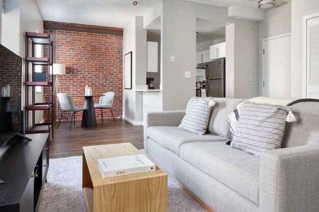
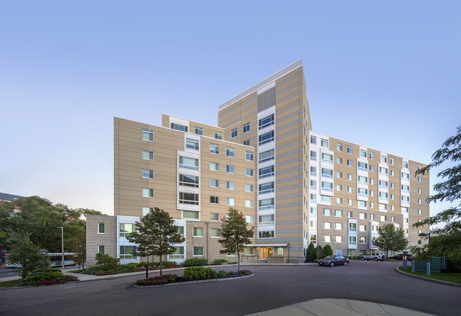
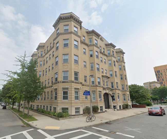
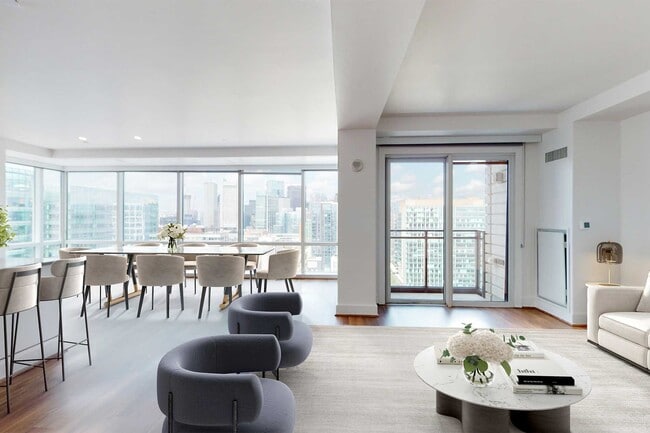
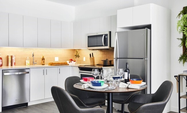
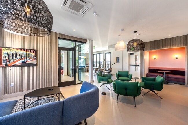
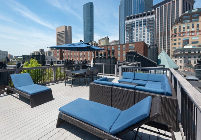
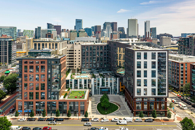
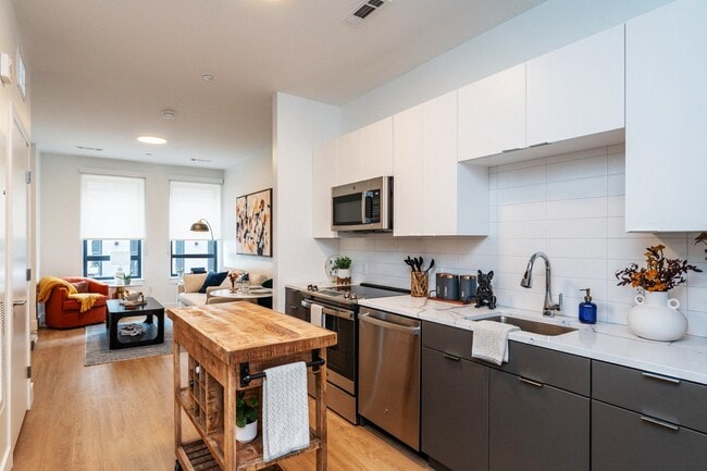
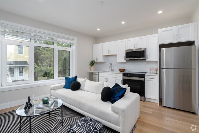
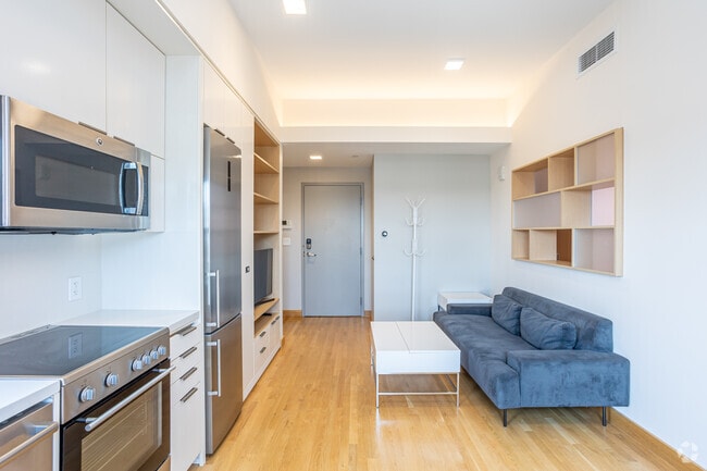
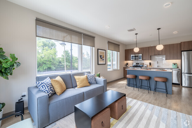
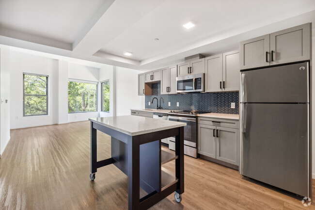
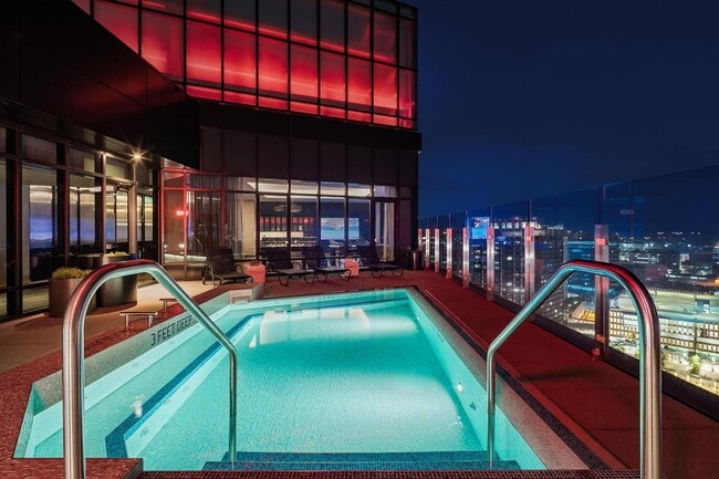
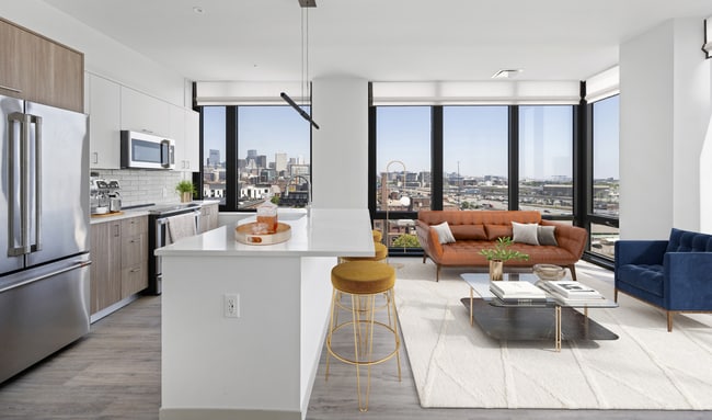
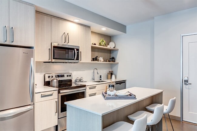
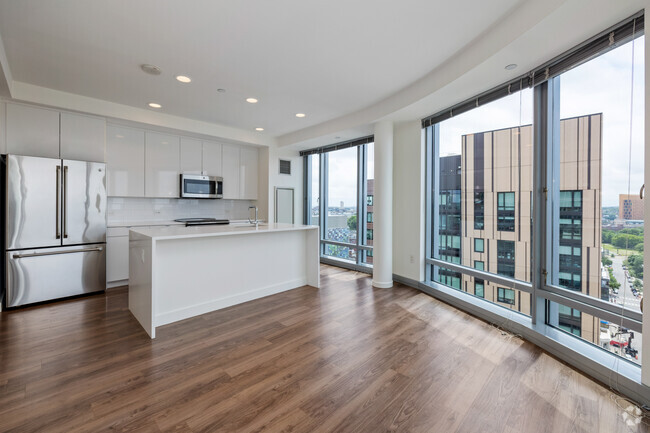
Pets Allowed Fitness Center Pool Dishwasher Kitchen In Unit Washer & Dryer
Apartments for Rent in Boston MA
28,939 Rentals Available
-
1 Bed$2,138+2 Beds$2,768+3 Beds$3,838+Total Monthly PriceTotal Monthly Price NewPrices include base rent and required monthly fees. Variable costs based on usage may apply.
-
-
-
-
-
Studio$2,136+1 Bed$2,391+2 Beds+$3,148+Total Monthly PriceTotal Monthly Price NewPrices include all required monthly fees.Specials
Pets Allowed Fitness Center Pool Dishwasher Refrigerator Kitchen
-
1 Bed$2,4002 Beds$2,575+3 Beds$3,500Total Monthly PriceTotal Monthly Price NewPrices include all required monthly fees.1 Month Free
Refrigerator Range Freezer Hardwood Floors Elevator
-
Studio$3,072+1 Bed$3,411+2 Beds$4,592+Total Monthly PriceTotal Monthly Price NewPrices include required monthly fees of $15.Base Rent:Studio$3,057+1 Bed$3,396+2 Beds$4,577+Specials
Pets Allowed Fitness Center Pool Kitchen In Unit Washer & Dryer Walk-In Closets
-
Studio$2,2952 Beds$3,450+3 Beds$4,600+Total Monthly Price12 Month LeaseTotal Monthly Price NewPrices include all required monthly fees.Specials
Pets Allowed Fitness Center Dishwasher In Unit Washer & Dryer Balcony Maintenance on site
-
Studio$2,795+1 Bed$3,275+2 Beds+$5,365Total Monthly PriceTotal Monthly Price NewPrices include base rent and required monthly fees. Variable costs based on usage may apply.2 Months Free
Pets Allowed Dishwasher Kitchen In Unit Washer & Dryer Microwave Stainless Steel Appliances Office
-

Boston Market Snapshot
Average 1-Bedroom Rent is $3,415/mo
Up 0.8% From Last Year
View More Boston Rent Insights -
1 Bed$3,910+2 Beds$4,465+3 Beds$6,956+Total Monthly PriceTotal Monthly Price NewPrices include required monthly fees of $10 - $15.Base Rent:1 Bed$3,900+2 Beds$4,455+3 Beds$6,946+Specials
Pets Allowed Fitness Center In Unit Washer & Dryer Balcony High-Speed Internet Stainless Steel Appliances
-
Studio$2,959+1 Bed$3,380+2 Beds+$4,388+Total Monthly PriceTotal Monthly Price NewPrices include required monthly fees of $12.Base Rent:Studio$2,947+1 Bed$3,368+2 Beds+$4,376+Specials
Pets Allowed Fitness Center Pool Dishwasher Refrigerator Kitchen
-
-
-
Studio$1,970+1 Bed$2,4902 Beds$3,245Total Monthly PriceTotal Monthly Price NewPrices include all required monthly fees.1 Month Free
Pets Allowed Fitness Center Dishwasher In Unit Washer & Dryer Maintenance on site Microwave
-
Studio$2,371+1 Bed$3,302+2 Beds+$4,487+Total Monthly PriceTotal Monthly Price NewPrices include required monthly fees of $99.Base Rent:Studio$2,272+1 Bed$3,203+2 Beds+$4,388+Specials
Pets Allowed Fitness Center Pool In Unit Washer & Dryer Laundry Facilities Office
-
Studio$2,191+1 Bed$2,325+2 Beds$3,037+Total Monthly PriceTotal Monthly Price NewPrices include all required monthly fees.2 Months Free
Pets Allowed Fitness Center Maintenance on site Elevator Playground
-
2 Beds$3,500Total Monthly PriceTotal Monthly Price NewPrices include all required monthly fees.1 Month Free
Pets Allowed Fitness Center Dishwasher In Unit Washer & Dryer Disposal Granite Countertops Hardwood Floors
-
1 Bed$3,200+Total Monthly Price12 Month LeaseTotal Monthly Price NewPrices include all required monthly fees.
Dishwasher In Unit Washer & Dryer Range Oven Stainless Steel Appliances Hardwood Floors Elevator
-
-
-
-
-
Studio$2,615+1 Bed$2,727+2 Beds+$3,631+Total Monthly PriceTotal Monthly Price NewPrices include base rent and required monthly fees. Variable costs based on usage may apply.Specials
Pets Allowed Fitness Center In Unit Washer & Dryer Balcony Courtyard Den EV Charging
-
Studio$3,435+1 Bed$4,195+2 Beds$6,306Total Monthly PriceTotal Monthly Price NewPrices include base rent and required monthly fees. Variable costs based on usage may apply.1 Month Free
Pets Allowed Fitness Center Dishwasher Grill Business Center Elevator EV Charging
-
Studio$3,228+1 Bed$3,408+2 Beds$5,103+Total Monthly PriceTotal Monthly Price NewPrices include base rent and required monthly fees of $53. Variable costs based on usage may apply.Base Rent:Studio$3,175+1 Bed$3,355+2 Beds$5,050+
Pets Allowed Fitness Center Pool Dishwasher Refrigerator In Unit Washer & Dryer
-
Studio$4,035+1 Bed$3,728+2 Beds$4,791+Total Monthly PriceTotal Monthly Price NewPrices include all required monthly fees.Specials
Pets Allowed Fitness Center Dishwasher Refrigerator In Unit Washer & Dryer Walk-In Closets
-
1 / 39Studio$2,900+1 Bed$3,400+2 Beds+$4,575+Total Monthly PriceTotal Monthly Price NewPrices include required monthly fees of $65.Base Rent:Studio$2,835+1 Bed$3,335+2 Beds+$4,510+1 Month Free
Pets Allowed Fitness Center Dishwasher Refrigerator Kitchen In Unit Washer & Dryer
-
Studio$2,350+1 Bed$2,700+2 Beds$3,600+Total Monthly PriceTotal Monthly Price NewPrices include all required monthly fees.
Dishwasher Refrigerator Kitchen In Unit Washer & Dryer Range Maintenance on site Disposal
-
Studio$2,862+1 Bed$3,120+2 Beds$3,995+Total Monthly PriceTotal Monthly Price NewPrices include all required monthly fees.
Pets Allowed Fitness Center Dishwasher Refrigerator Kitchen Walk-In Closets
-
Studio$2,992+1 Bed$3,598+2 Beds$4,767+Total Monthly Price12 Month LeaseTotal Monthly Price NewPrices include all required monthly fees.Discounts
Pets Allowed Fitness Center Maintenance on site Package Service Controlled Access Elevator EV Charging
-
Studio$2,762+1 Bed$3,851+2 Beds+$6,007+Total Monthly PriceTotal Monthly Price NewPrices include base rent and required monthly fees. Variable costs based on usage may apply.Specials
Pets Allowed Fitness Center Pool Package Service Rooftop Deck
-
Studio$3,080+1 Bed$3,403+2 Beds+$5,695+Total Monthly PriceTotal Monthly Price NewPrices include base rent and required monthly fees. Variable costs based on usage may apply.
Pets Allowed Fitness Center Pool In Unit Washer & Dryer Package Service Concierge Rooftop Deck
-
Studio$2,495+1 Bed$2,770+2 Beds+$3,660+Total Monthly PriceTotal Monthly Price NewPrices include all required monthly fees.Specials
Pets Allowed Fitness Center Walk-In Closets Clubhouse Courtyard
-
Studio$3,182+1 Bed$4,091+2 Beds$5,418+Total Monthly PriceTotal Monthly Price NewPrices include base rent and required monthly fees. Variable costs based on usage may apply.
Pets Allowed Fitness Center Pool Dishwasher Kitchen In Unit Washer & Dryer
-
1 Bed$2,438+2 Beds$3,288+Total Monthly PriceTotal Monthly Price NewPrices include base rent and required monthly fees. Variable costs based on usage may apply.
Pets Allowed Fitness Center Walk-In Closets
-
Studio$3,525+1 Bed$4,270+2 Beds+$5,800+Total Monthly Price12 Month LeaseTotal Monthly Price NewPrices include base rent and required monthly fees. Variable costs based on usage may apply.1 Month Free
Pets Allowed Fitness Center Dishwasher Refrigerator Kitchen In Unit Washer & Dryer
-
Studio$2,731+1 Bed$3,461+2 Beds$4,776+Total Monthly PriceTotal Monthly Price NewPrices include base rent and required monthly fees. Variable costs based on usage may apply.2 Months Free
Pets Allowed Fitness Center Dishwasher In Unit Washer & Dryer Concierge Den EV Charging
-
Studio$2,860+1 Bed$3,275+2 Beds+$3,775+Total Monthly PriceTotal Monthly Price NewPrices include required monthly fees of $140.Base Rent:Studio$2,720+1 Bed$3,135+2 Beds+$3,635+
Pets Allowed Fitness Center Pool Dishwasher Refrigerator Walk-In Closets
-
Studio$3,523+1 Bed$4,026+Total Monthly PriceTotal Monthly Price NewPrices include all required monthly fees.
Pets Allowed Fitness Center Dishwasher Refrigerator Kitchen In Unit Washer & Dryer Walk-In Closets
-
Showing 40 of 700 Results - Page 1 of 18
Explore Rent Prices Near Boston, MA
Boston, MA’s average rent price is $3,191 per month. Compare rent prices and available listings in nearby cities to find better value or more options that fit your budget.
| Average Rent | |
|---|---|
| Mattapan | $1,862 |
| Charlestown | $2,725 |
| Quincy | $2,524 |
| Brookline | $2,929 |
| Everett | $2,920 |
Average Monthly Rent is calculated using the average rent of active one-bedroom apartment listings.
Boston, MA Apartments for Rent
Finding a Boston Apartment
Renting an apartment in Boston, MA puts you at the center of the city’s history, universities, and thriving neighborhoods. Looking for apartments for rent in Boston, MA? Options range from studio apartments and 1-bedroom rentals to luxury high-rises and historic brownstones, with nearby cities like Cambridge and Somerville offering even more choices.Neighborhood Apartments in Boston
Boston’s neighborhoods each offer something different for renters. Many people start with Back Bay apartments in Boston for historic brownstones and shopping, or South Boston apartments for waterfront living. Others choose Fenway apartments for culture and sports, while Beacon Hill apartments and Seaport apartments mix historic charm with modern convenience. For more green space, Jamaica Plain apartments and Brookline apartments provide tree-lined streets and park access, giving renters a wide range of neighborhood options.
Pet-Friendly Apartments in Boston
Many renters search for pet-friendly apartments in Boston, and communities often allow cats and dogs with a deposit or monthly pet rent. Apartments near the Boston Common, Charles River Esplanade, and dog runs in South Boston and Back Bay make it easy to care for pets while enjoying the city. If you’re looking for Boston rentals near dog parks, there are several neighborhoods with dedicated spaces for pets.
Boston Transit, Parking & EV Access
Boston renters often look for apartments near MBTA Red, Green, Blue, and Orange Lines for simple commuting into Cambridge or Somerville. Many buildings also provide apartments with parking in Boston, and newer developments feature apartments with EV charging stations to meet electric vehicle needs.
Near Boston Universities & Medical Centers
Apartments near Harvard University, MIT, Boston University, and Northeastern put classrooms and campus life close at hand. In the Longwood Medical Area, renters can find apartments near Brigham and Women’s Hospital, Boston Children’s Hospital, and Beth Israel Deaconess, reducing commute times for study, work, or healthcare.
Budget-Friendly and Luxury Options
Filters make it easy to explore affordable apartments in Boston, such as Boston apartments under $1,500 or apartments under $2,000. For those seeking upscale living, luxury apartments Boston, such as in neighborhoods like Back Bay, Beacon Hill, and the Seaport combine premium finishes with desirable locations.
Short-Term & Flexible Boston Rentals
For temporary stays, browse short-term rentals in Boston, including furnished apartments. These flexible options are common near universities, hospitals, and business districts, offering convenience for relocations, internships, or short-term projects.
Boston, MA Rental Insights
-
The average rent in Boston, MA is $3,419 per month. By comparison, renters across the U.S. pay an average of $1,632, which means housing in Boston, MA is slightly more expensive than much of the country.
-
Find affordable apartments for rent in Boston, MA by browsing listings in budget-friendly neighborhoods such as West Street-River Street, Sav-Mor, and Stony Brook-Cleary Square. Use filters by price, number of bedrooms, and amenities to narrow your search.
-
The most popular ZIP codes for renters in Boston, MA are 02127, 02125, 02121, 02122, and 02119.
-
The cost of living in Boston, MA is 47.1% higher than the national average. Daily expenses like housing, groceries, and transportation generally cost more than in many other U.S. cities.
-
To live comfortably in Boston, MA as a single adult with no dependents, aim for a salary of at least $135,000 before taxes. Expect to spend about $8,580/year for groceries, $14,736 for goods and services, and $65,964/year for housing. To decide how much you should spend on rent, use our rent affordability calculator.
-
You can find flexible rentals in Boston, MA by exploring short-term rentals for temporary stays or browsing furnished apartments for move-in ready options that save time and hassle.
-
Tour apartments from your couch with Matterport 3D Tours. We have 28,939 Boston apartments with virtual tours available. Walk through the apartment, view room layouts and get a feel for the space before an in-person tour.
-
Boston, MA transit offers good coverage and frequency.Many trips are doable by bus or train, though a car can help for certain destinations or times.
-
Students renting in Boston, MA have access to UMass Boston, Northeastern University, Wentworth Inst. of Technology, and Tufts University, Boston.
