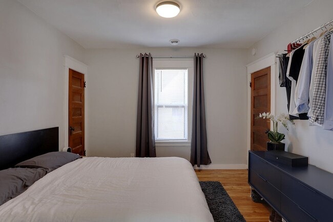
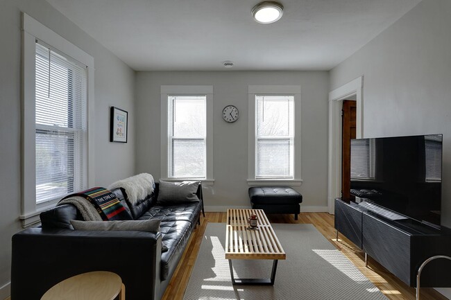
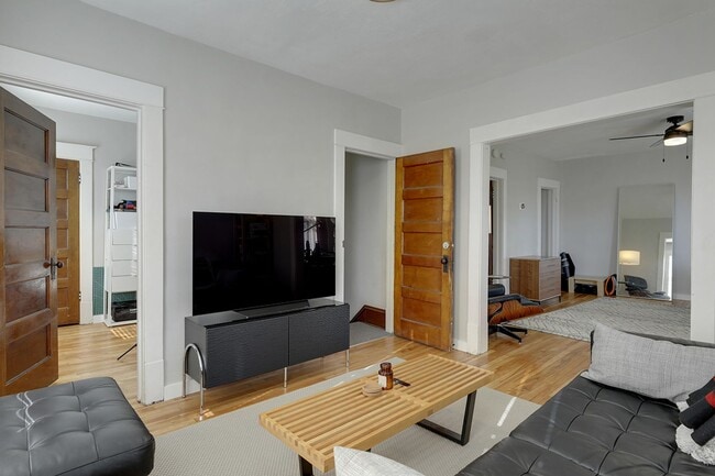
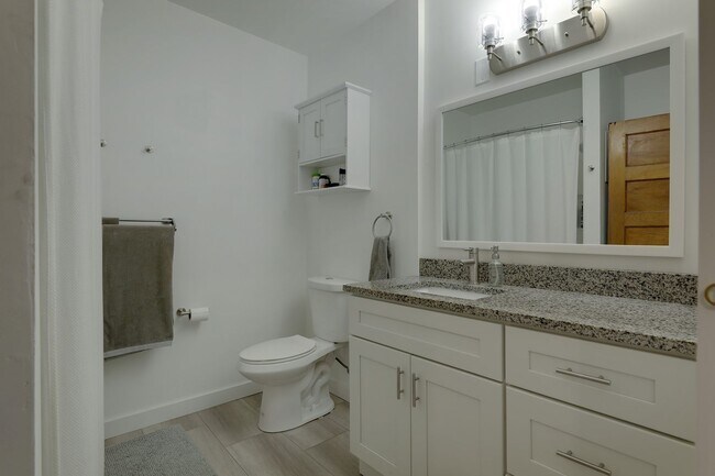
$1,650 / Month
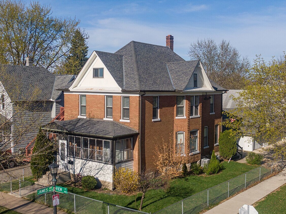
448 View St Unit Number 2
Saint Paul, MN 55102
Today
Favorites
651-408-2790
-
Bedrooms
2
-
Bathrooms
1
-
Square Feet
1,100 sq ft
-
Available
Available Sep 1
448 View St Unit Number 2

Favorites
Contact
- Listed by Grand | Grand Realty Property Management
- Phone Number
- Contact
Location
Get Directions
Often referred to as the “West End,” West Seventh is a convenient neighborhood located on the Riverview Corridor transit system, making travel to Downtown Saint Paul, the Minneapolis-Saint Paul Airport, and the Mall of America simple for locals.
Residents of West Seventh enjoy direct access to Interstate 35E and Xcel Energy Center. There are a plethora of amenities and attractions along the Mississippi River – from parks to historic landmarks and the High Bridge Dog Park.
Many of West Seventh’s restaurants are found along 7th Street West, like Bad Weather Brewing Company, Cossetta’s, and JR Mac’s Bar & Grill. Residents adore the proximity to the airport, and Saint Paul attractions and shopping.
Learn more about living in West Seventh
Education
| Colleges & Universities | Distance | ||
|---|---|---|---|
| Colleges & Universities | Distance | ||
| Drive: | 6 min | 2.3 mi | |
| Drive: | 6 min | 2.5 mi | |
| Drive: | 8 min | 2.7 mi | |
| Drive: | 6 min | 2.9 mi |
448 View St Unit Number 2 is within 6 minutes or 2.5 miles from Macalester College. It is also near Concordia Univ.-Saint Paul and Saint Paul College.
Transportation options available in Saint Paul include Victoria St Station, located 2.5 miles from 448 View St Unit Number 2. 448 View St Unit Number 2 is near Minneapolis-St Paul International/Wold-Chamberlain, located 6.3 miles or 13 minutes away.
| Transit / Subway | Distance | ||
|---|---|---|---|
| Transit / Subway | Distance | ||
| Drive: | 7 min | 2.5 mi | |
| Drive: | 7 min | 2.7 mi | |
| Drive: | 7 min | 2.8 mi | |
| Drive: | 8 min | 3.3 mi | |
| Drive: | 7 min | 3.5 mi |
| Commuter Rail | Distance | ||
|---|---|---|---|
| Commuter Rail | Distance | ||
|
|
Drive: | 6 min | 3.3 mi |
|
|
Drive: | 20 min | 9.5 mi |
|
|
Drive: | 26 min | 19.5 mi |
|
|
Drive: | 36 min | 27.6 mi |
|
|
Drive: | 38 min | 29.2 mi |
| Airports | Distance | ||
|---|---|---|---|
| Airports | Distance | ||
|
Minneapolis-St Paul International/Wold-Chamberlain
|
Drive: | 13 min | 6.3 mi |
Time and distance from 448 View St Unit Number 2.
| Shopping Centers | Distance | ||
|---|---|---|---|
| Shopping Centers | Distance | ||
| Drive: | 3 min | 1.2 mi | |
| Drive: | 3 min | 1.2 mi | |
| Drive: | 4 min | 1.2 mi |
448 View St Unit Number 2 has 3 shopping centers within 1.2 miles, which is about a 4-minute drive. The miles and minutes will be for the farthest away property.
| Parks and Recreation | Distance | ||
|---|---|---|---|
| Parks and Recreation | Distance | ||
|
Highland Park and Golf Course
|
Drive: | 4 min | 1.5 mi |
|
Science Museum of Minnesota
|
Drive: | 4 min | 2.3 mi |
|
Irvine Park
|
Drive: | 5 min | 2.4 mi |
|
Macalester College Observatory
|
Drive: | 6 min | 2.5 mi |
|
Cherokee Regional Park
|
Drive: | 7 min | 2.7 mi |
448 View St Unit Number 2 has 5 parks within 2.7 miles, including Highland Park and Golf Course, Irvine Park, and Science Museum of Minnesota.
| Hospitals | Distance | ||
|---|---|---|---|
| Hospitals | Distance | ||
| Drive: | 4 min | 2.0 mi | |
| Drive: | 5 min | 2.7 mi | |
| Drive: | 6 min | 3.2 mi |
448 View St Unit Number 2 has 3 hospitals within 3.2 miles, the nearest is Allina United Hospital which is 2.0 miles away and a 4 minute drive.
| Military Bases | Distance | ||
|---|---|---|---|
| Military Bases | Distance | ||
| Drive: | 12 min | 5.1 mi |
448 View St Unit Number 2 is 5.1 miles and a 12 minute drive from Fort Snelling Military Reservation.
You May Also Like
Similar Rentals Nearby


What Are Walk Score®, Transit Score®, and Bike Score® Ratings?
Walk Score® measures the walkability of any address. Transit Score® measures access to public transit. Bike Score® measures the bikeability of any address.
What is a Sound Score Rating?
A Sound Score Rating aggregates noise caused by vehicle traffic, airplane traffic and local sources

448 View St
Saint Paul, MN 55102