
Holden House
1554 Midway Pky,
Saint Paul, MN 55108
Studio - 2 Beds $1,477 - $2,450
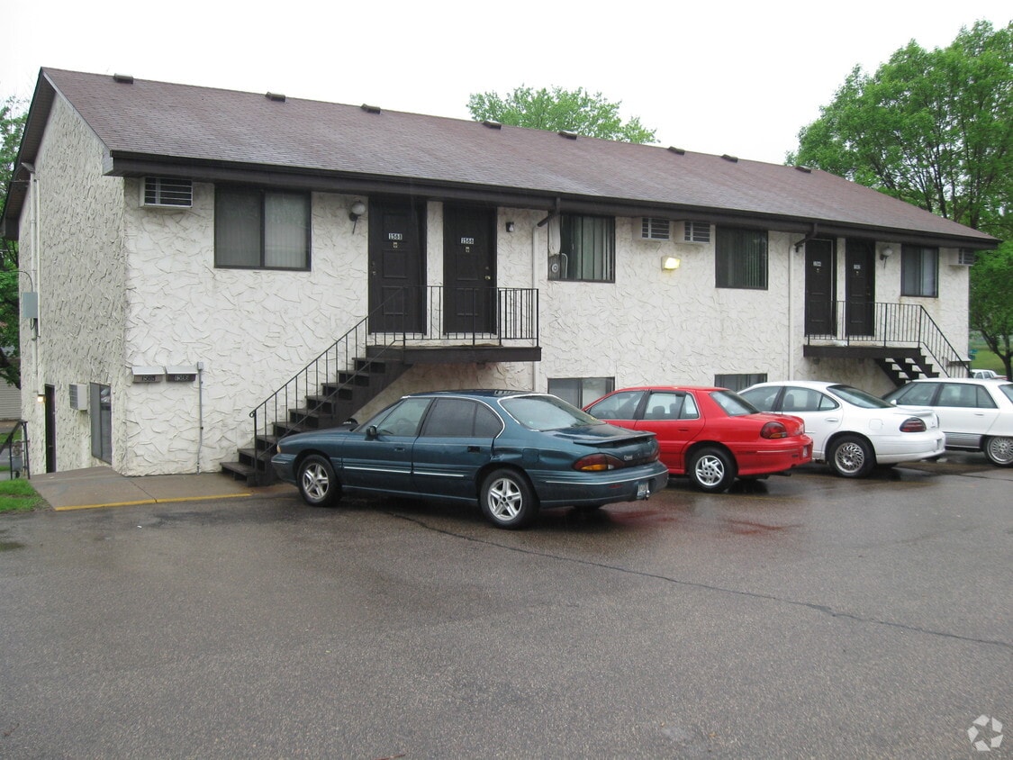
Hoyt & Sloan offers a mixture of comfort and quality. This community is located at 1562-1568 Sloan St in the Payne-Phalen area of St. Paul. From amenities to floor plan options, the leasing staff will assist you in finding your ideal place. At Hoyt & Sloan you're home.
Hoyt & Sloan is an apartment community located in Ramsey County and the 55130 ZIP Code. This area is served by the St. Paul Public attendance zone.
Located just 12 miles east of the heart of Minneapolis, Payne-Phalen is large neighborhood outside of Downtown Saint Paul. While Downtown Saint Paul’s attractions and world-renowned eateries are at Payne-Phalen resident’s fingertips, cafes and a variety of restaurants can be found in the neighborhood off Payne Avenue. For shopping opportunities, residents can either travel downtown to get to Town Square Complex or stay in town to explore shopping plazas off Highway 61.
Within Payne-Phalen, family-friendly greenspaces and the lakefront Phalen Regional Park offer residents a variety of outdoor activities. Most of the neighborhood consist of residential areas, and renters will find that Payne-Phalen has a diverse rental market. From trendy lofts to quaint cottage-style homes, this neighborhood has a spot for just about every renter.
Learn more about living in Payne-Phalen| Colleges & Universities | Distance | ||
|---|---|---|---|
| Colleges & Universities | Distance | ||
| Drive: | 7 min | 4.1 mi | |
| Drive: | 8 min | 4.4 mi | |
| Drive: | 10 min | 6.4 mi | |
| Drive: | 13 min | 7.4 mi |


Transportation options available in Saint Paul include Robert St Station, located 3.2 miles from Hoyt & Sloan. Hoyt & Sloan is near Minneapolis-St Paul International/Wold-Chamberlain, located 12.9 miles or 21 minutes away.
| Transit / Subway | Distance | ||
|---|---|---|---|
| Transit / Subway | Distance | ||
| Drive: | 6 min | 3.2 mi | |
| Drive: | 6 min | 3.4 mi | |
| Drive: | 6 min | 3.4 mi | |
| Drive: | 6 min | 3.4 mi | |
| Drive: | 7 min | 4.0 mi |
| Commuter Rail | Distance | ||
|---|---|---|---|
| Commuter Rail | Distance | ||
|
|
Drive: | 7 min | 3.5 mi |
|
|
Drive: | 22 min | 13.3 mi |
|
|
Drive: | 19 min | 14.1 mi |
|
|
Drive: | 29 min | 22.2 mi |
|
|
Drive: | 31 min | 23.8 mi |
| Airports | Distance | ||
|---|---|---|---|
| Airports | Distance | ||
|
Minneapolis-St Paul International/Wold-Chamberlain
|
Drive: | 21 min | 12.9 mi |
Time and distance from Hoyt & Sloan.
| Shopping Centers | Distance | ||
|---|---|---|---|
| Shopping Centers | Distance | ||
| Drive: | 3 min | 1.2 mi | |
| Drive: | 3 min | 1.4 mi | |
| Drive: | 3 min | 1.4 mi |
| Parks and Recreation | Distance | ||
|---|---|---|---|
| Parks and Recreation | Distance | ||
|
Arlington/Arkwright Park
|
Walk: | 8 min | 0.4 mi |
|
Phelan Regional Park
|
Drive: | 5 min | 2.0 mi |
|
Phalen Park
|
Drive: | 6 min | 2.1 mi |
|
Keller Regional Park
|
Drive: | 5 min | 2.3 mi |
|
Western Park
|
Drive: | 7 min | 4.1 mi |
| Hospitals | Distance | ||
|---|---|---|---|
| Hospitals | Distance | ||
| Drive: | 5 min | 3.0 mi | |
| Drive: | 5 min | 3.0 mi | |
| Drive: | 7 min | 3.5 mi |
| Military Bases | Distance | ||
|---|---|---|---|
| Military Bases | Distance | ||
| Drive: | 20 min | 11.6 mi |
What Are Walk Score®, Transit Score®, and Bike Score® Ratings?
Walk Score® measures the walkability of any address. Transit Score® measures access to public transit. Bike Score® measures the bikeability of any address.
What is a Sound Score Rating?
A Sound Score Rating aggregates noise caused by vehicle traffic, airplane traffic and local sources


