
LeVante at Valley Vista
7618 N Decatur Blvd,
North Las Vegas, NV 89084
$1,476 - $5,143
1-3 Beds
Bedrooms
1 - 2 bd
Bathrooms
1 ba
Square Feet
700 - 850 sq ft
AFFORDABLE APARTMENTS IN CENTRAL VEGAS ARVO is situated in Midtown Las Vegas and located close to the Las Vegas Country Club, a sprawling urban golf course that’s filled with suburban streets. Sunrise Hospital and Medical Center sits on the edge of town, and there are various restaurants, shopping centers, banks, and other conveniences within the neighborhood. Check out the Historic Commercial Center District after you move into ARVO. This sprawling outdoor mall has an array of restaurants, shops, and entertainment options. The Westgate Monorail Station sits on the western edge of town, taking passengers directly into the heart of Vegas. Residents of ARVO will appreciate the neighborhood’s proximity to both Las Vegas and the Las Vegas Strip, located only three miles southwest of our community.
AFFORDABLE APARTMENTS IN CENTRAL VEGAS ARVO is situated in Midtown Las Vegas and located close to the Las Vegas Country Club, a sprawling urban golf course that’s filled with suburban streets. Sunrise Hospital and Medical Center sits on the edge of town, and there are various restaurants, shopping centers, banks, and other conveniences within the neighborhood. Check out the Historic Commercial Center District after you move into ARVO. This sprawling outdoor mall has an array of restaurants, shops, and entertainment options. The Westgate Monorail Station sits on the western edge of town, taking passengers directly into the heart of Vegas. Residents of ARVO will appreciate the neighborhood’s proximity to both Las Vegas and the Las Vegas Strip, located only three miles southwest of our community.
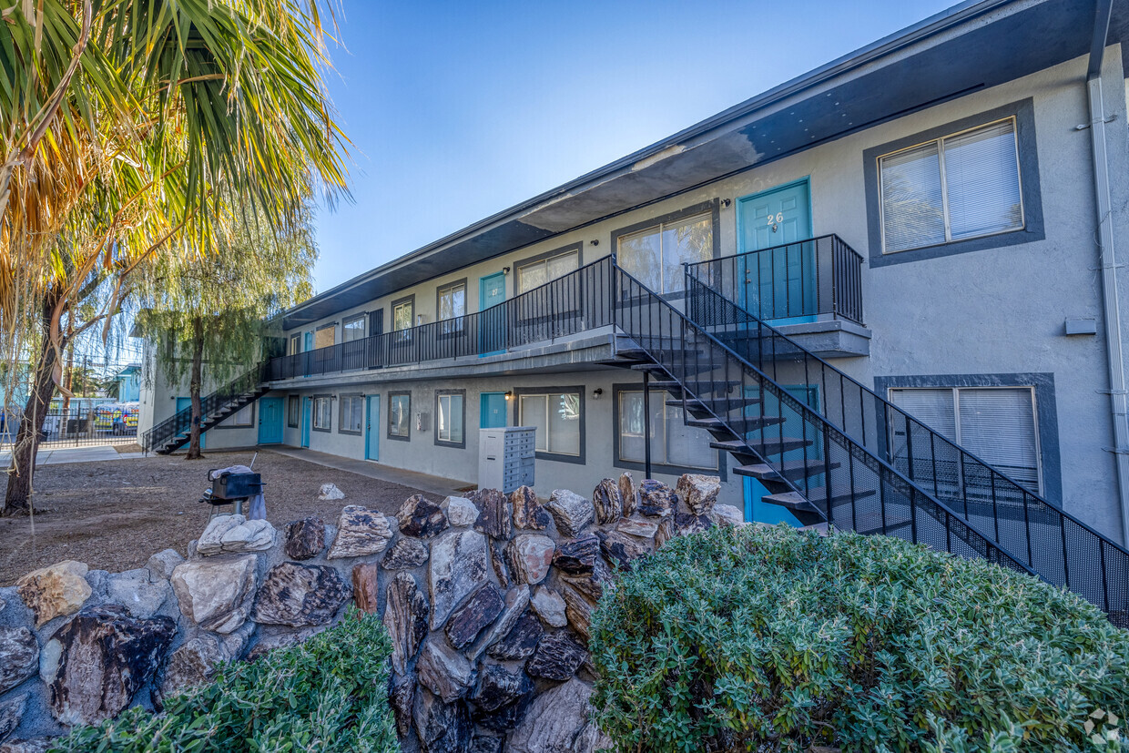
Camino 2556 is an apartment community located in Clark County and the 89109 ZIP Code. This area is served by the Clark County attendance zone.
Midtown Las Vegas is mostly taken up by the Las Vegas Country Club, a sprawling urban golf course that’s filled with suburban streets. These stately homes and picturesque apartments make up the housing market of Midtown Las Vegas. Sunrise Hospital and Medical Center sits on the edge of town, and there are various restaurants, shopping centers, banks, and other conveniences within the neighborhood.
Check out the Historic Commercial Center District after you find your charming rental in the city. This sprawling outdoor mall has an array of restaurants, shops, and entertainment options. The Westgate Monorail Station sits on the western edge of town, taking passengers directly into the heart of Vegas nearing the McCarran International Airport. Residents of Midtown appreciate the neighborhood’s proximity to both Las Vegas and the Las Vegas Strip, located only three miles southwest of Midtown.
Learn more about living in Midtown Las Vegas| Colleges & Universities | Distance | ||
|---|---|---|---|
| Colleges & Universities | Distance | ||
| Drive: | 6 min | 2.6 mi | |
| Drive: | 9 min | 3.3 mi | |
| Drive: | 13 min | 6.1 mi | |
| Drive: | 14 min | 8.9 mi |


Transportation options available in Las Vegas include Las Vegas Hilton Station, located 0.5 mile from Camino 2556. Camino 2556 is near Harry Reid International, located 4.6 miles or 11 minutes away, and Boulder City Municipal, located 24.9 miles or 34 minutes away.
| Transit / Subway | Distance | ||
|---|---|---|---|
| Transit / Subway | Distance | ||
|
|
Walk: | 10 min | 0.5 mi |
|
|
Walk: | 11 min | 0.6 mi |
|
|
Drive: | 3 min | 1.2 mi |
|
|
Drive: | 7 min | 2.8 mi |
|
|
Drive: | 7 min | 3.0 mi |
| Airports | Distance | ||
|---|---|---|---|
| Airports | Distance | ||
|
Harry Reid International
|
Drive: | 11 min | 4.6 mi |
|
Boulder City Municipal
|
Drive: | 34 min | 24.9 mi |
Time and distance from Camino 2556.
| Shopping Centers | Distance | ||
|---|---|---|---|
| Shopping Centers | Distance | ||
| Walk: | 7 min | 0.4 mi | |
| Walk: | 8 min | 0.4 mi | |
| Walk: | 8 min | 0.5 mi |
| Parks and Recreation | Distance | ||
|---|---|---|---|
| Parks and Recreation | Distance | ||
|
UNLV Arboretum
|
Drive: | 6 min | 2.9 mi |
|
DISCOVERY Children's Museum
|
Drive: | 8 min | 3.8 mi |
|
Las Vegas Natural History Museum
|
Drive: | 7 min | 3.8 mi |
|
Old Las Vegas Mormon State Historic Park
|
Drive: | 8 min | 3.9 mi |
|
Springs Preserve
|
Drive: | 10 min | 4.8 mi |
| Hospitals | Distance | ||
|---|---|---|---|
| Hospitals | Distance | ||
| Drive: | 2 min | 1.1 mi | |
| Drive: | 3 min | 1.4 mi | |
| Drive: | 5 min | 2.5 mi |
| Military Bases | Distance | ||
|---|---|---|---|
| Military Bases | Distance | ||
| Drive: | 28 min | 16.8 mi |
What Are Walk Score®, Transit Score®, and Bike Score® Ratings?
Walk Score® measures the walkability of any address. Transit Score® measures access to public transit. Bike Score® measures the bikeability of any address.
What is a Sound Score Rating?
A Sound Score Rating aggregates noise caused by vehicle traffic, airplane traffic and local sources

2646-2656 Van Patten St
Las Vegas, NV 89109


