
100 Hemenway
100 Hemenway St,
Boston, MA 02115
Studio - 3 Beds $2,888 - $8,500
NO BROKER FEE when rented through Circle Properties. Please inquire in JANUARY for 2022 AVAILABILITY for June & September 1611 Tremont Street is a beautiful and classic building located between Longwood Medical Area/Brigham Circle and Mission Hill. Get the best of both of these neighborhoods while also being just steps to the Green Line, multiple bus connections; walk the opposite direction and you'll reach the Orange Line in 10 minutes. Enjoy all the new restaurants and bars of Mission Hill, and the access to one of the top medical hubs in the world. Convenient living at its best with Stop & Shop and Walgreens just across the street for daily needs. Resident-only laundry facilities available close by on Darling Street. This property is professionally managed by a Mission Hill based property management company.
1611 Tremont St is an apartment community located in Suffolk County and the 02120 ZIP Code. This area is served by the Boston Public Schools attendance zone.
Laundry Facilities
Controlled Access
24 Hour Access
Public Transportation
Washer/Dryer
Air Conditioning
Dishwasher
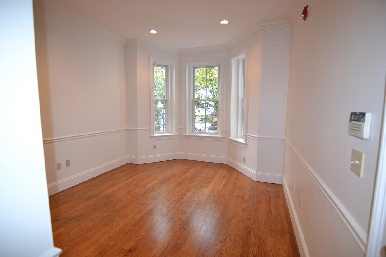
Hardwood Floors
Since 1872, the Mission Hill Triangle District has displayed and preserved some of the area’s most important architecture and homes. You’ll find mostly two-story brick rowhouses set back from the sidewalk, allowing for charming landscaping and an old world feel. Huntington Avenue and Worthington Wigglesworth Street hold a bevy of three-story, multi-family residences as well as several locally owned businesses that keep residents fed and entertained.
Kevin W. Fitzgerald Park provides some much-needed green space and dog-friendly parks for residents. Downtown Boston is only a 16-minute drive or a 30-minutes journey along the MBTA, Boston’s public transit system.
Learn more about living in Mission Hill Triangle District| Colleges & Universities | Distance | ||
|---|---|---|---|
| Colleges & Universities | Distance | ||
| Walk: | 5 min | 0.3 mi | |
| Walk: | 5 min | 0.3 mi | |
| Walk: | 10 min | 0.5 mi | |
| Drive: | 3 min | 1.4 mi |


Transportation options available in Boston include Brigham Circle Station, located 0.1 mile from 1611 Tremont St. 1611 Tremont St is near General Edward Lawrence Logan International, located 6.9 miles or 14 minutes away.
| Transit / Subway | Distance | ||
|---|---|---|---|
| Transit / Subway | Distance | ||
|
|
Walk: | 2 min | 0.1 mi |
|
|
Walk: | 4 min | 0.2 mi |
|
|
Walk: | 4 min | 0.2 mi |
|
|
Walk: | 7 min | 0.4 mi |
|
|
Walk: | 10 min | 0.6 mi |
| Commuter Rail | Distance | ||
|---|---|---|---|
| Commuter Rail | Distance | ||
|
|
Walk: | 16 min | 0.9 mi |
|
|
Drive: | 7 min | 2.1 mi |
|
|
Drive: | 5 min | 2.2 mi |
| Drive: | 5 min | 2.5 mi | |
|
|
Drive: | 9 min | 4.8 mi |
| Airports | Distance | ||
|---|---|---|---|
| Airports | Distance | ||
|
General Edward Lawrence Logan International
|
Drive: | 14 min | 6.9 mi |
Time and distance from 1611 Tremont St.
| Shopping Centers | Distance | ||
|---|---|---|---|
| Shopping Centers | Distance | ||
| Walk: | 10 min | 0.6 mi | |
| Drive: | 4 min | 1.6 mi | |
| Drive: | 10 min | 5.7 mi |
| Parks and Recreation | Distance | ||
|---|---|---|---|
| Parks and Recreation | Distance | ||
|
Roxbury Heritage State Park
|
Walk: | 15 min | 0.8 mi |
|
Frederick Law Olmsted National Historic Site
|
Drive: | 4 min | 1.8 mi |
|
John Fitzgerald Kennedy National Historic Site
|
Drive: | 5 min | 1.8 mi |
|
Charles River Reservation
|
Drive: | 4 min | 2.0 mi |
|
Coit Observatory
|
Drive: | 5 min | 2.2 mi |
| Hospitals | Distance | ||
|---|---|---|---|
| Hospitals | Distance | ||
| Walk: | 6 min | 0.3 mi | |
| Walk: | 8 min | 0.4 mi | |
| Walk: | 11 min | 0.6 mi |
| Military Bases | Distance | ||
|---|---|---|---|
| Military Bases | Distance | ||
| Drive: | 27 min | 14.8 mi | |
| Drive: | 30 min | 15.5 mi |
What Are Walk Score®, Transit Score®, and Bike Score® Ratings?
Walk Score® measures the walkability of any address. Transit Score® measures access to public transit. Bike Score® measures the bikeability of any address.
What is a Sound Score Rating?
A Sound Score Rating aggregates noise caused by vehicle traffic, airplane traffic and local sources

1611 Tremont St
Boston, MA 02120


