
Holden House
1554 Midway Pky,
Saint Paul, MN 55108
Studio - 2 Beds $1,295 - $2,395
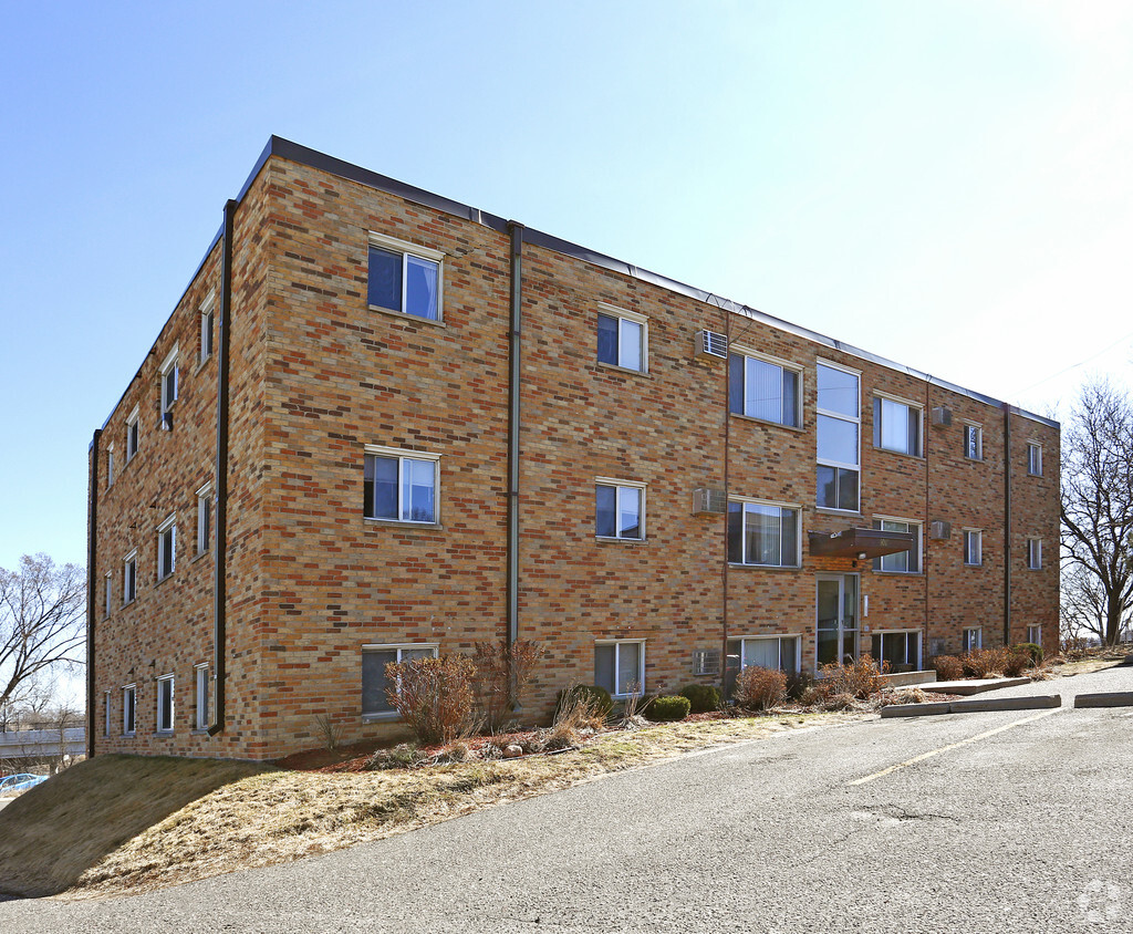
Discover 1017 Raymond Ave. This property is situated in the St. Anthony area of St. Paul. The professional leasing staff is available to help you find your perfect home. Experience a new standard at 1017 Raymond Ave.
1017 Raymond Ave is an apartment community located in Ramsey County and the 55114 ZIP Code. This area is served by the St. Paul Public attendance zone.
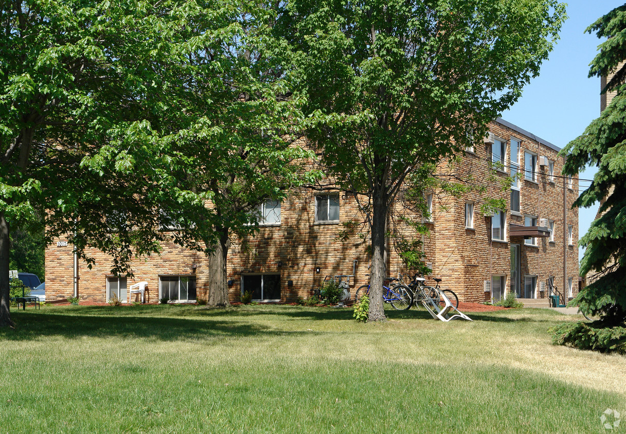
Situated in the northwestern corner of Saint Paul, Saint Anthony Park is a charming neighborhood between the downtowns of Saint Paul and Minneapolis. Saint Anthony Park’s small business district exudes the feel of an urban village, with plenty of quaint shops and local restaurants in Tudor-style buildings stretched along Como Avenue.
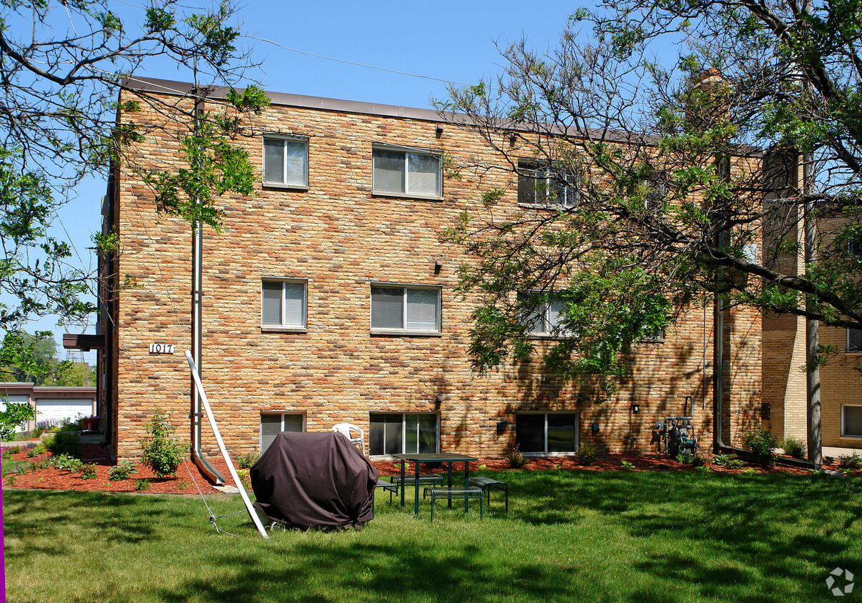
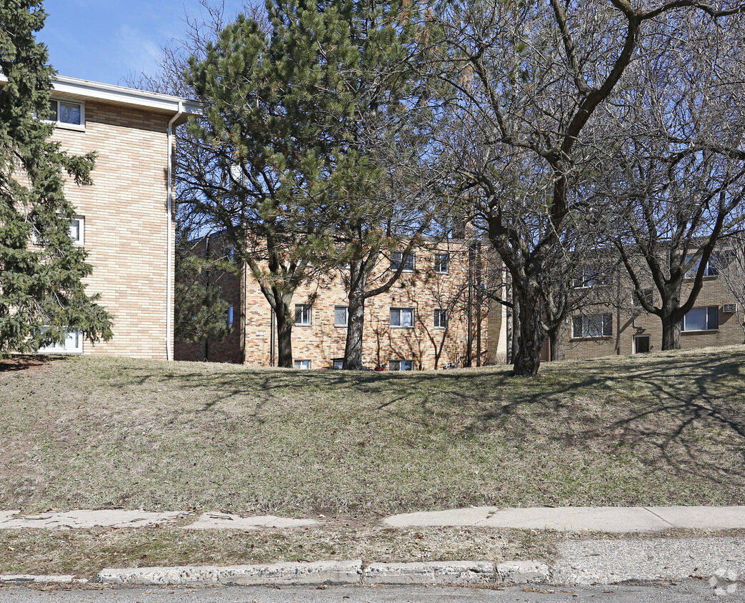
Outside of the business district, Saint Anthony Park is predominantly residential. The neighborhood is teeming with apartments and single-family homes covered in lush trees and landscaping. Langford Park offers residents numerous opportunities for outdoor recreation while the sprawling Como Regional Park lies just outside the neighborhood’s boundaries.
Saint Anthony Park is convenient to an array of notable amenities, including the University of Minnesota’s Saint Paul Campus, the Minnesota State Fair, and Rosedale Center. Convenience to I-94 and multiple light rail stations makes getting around from Saint Anthony Park simple.
Learn more about living in St Anthony| Colleges & Universities | Distance | ||
|---|---|---|---|
| Colleges & Universities | Distance | ||
| Drive: | 4 min | 1.4 mi | |
| Drive: | 5 min | 1.7 mi | |
| Drive: | 6 min | 2.4 mi | |
| Drive: | 7 min | 2.6 mi |


Transportation options available in Saint Paul include Raymond Ave Station, located 0.7 mile from 1017 Raymond Ave. 1017 Raymond Ave is near Minneapolis-St Paul International/Wold-Chamberlain, located 9.3 miles or 20 minutes away.
| Transit / Subway | Distance | ||
|---|---|---|---|
| Transit / Subway | Distance | ||
| Walk: | 14 min | 0.7 mi | |
| Drive: | 3 min | 1.1 mi | |
| Drive: | 5 min | 1.7 mi | |
| Drive: | 5 min | 1.9 mi | |
| Drive: | 5 min | 2.1 mi |
| Commuter Rail | Distance | ||
|---|---|---|---|
| Commuter Rail | Distance | ||
|
|
Drive: | 13 min | 5.8 mi |
|
|
Drive: | 13 min | 7.4 mi |
|
|
Drive: | 19 min | 13.2 mi |
|
|
Drive: | 29 min | 21.7 mi |
|
|
Drive: | 30 min | 23.4 mi |
| Airports | Distance | ||
|---|---|---|---|
| Airports | Distance | ||
|
Minneapolis-St Paul International/Wold-Chamberlain
|
Drive: | 20 min | 9.3 mi |
Time and distance from 1017 Raymond Ave.
| Shopping Centers | Distance | ||
|---|---|---|---|
| Shopping Centers | Distance | ||
| Walk: | 6 min | 0.4 mi | |
| Walk: | 18 min | 1.0 mi | |
| Drive: | 6 min | 2.2 mi |
| Parks and Recreation | Distance | ||
|---|---|---|---|
| Parks and Recreation | Distance | ||
|
The Raptor Center - University of Minnesota
|
Drive: | 4 min | 1.5 mi |
|
Tower Hill Park
|
Drive: | 4 min | 1.5 mi |
|
Newell Park
|
Drive: | 5 min | 1.8 mi |
|
Luxton Park
|
Drive: | 5 min | 2.0 mi |
|
Brackett Park
|
Drive: | 9 min | 3.0 mi |
| Hospitals | Distance | ||
|---|---|---|---|
| Hospitals | Distance | ||
| Drive: | 6 min | 3.1 mi | |
| Drive: | 9 min | 4.5 mi | |
| Drive: | 11 min | 5.2 mi |
| Military Bases | Distance | ||
|---|---|---|---|
| Military Bases | Distance | ||
| Drive: | 19 min | 8.0 mi |
What Are Walk Score®, Transit Score®, and Bike Score® Ratings?
Walk Score® measures the walkability of any address. Transit Score® measures access to public transit. Bike Score® measures the bikeability of any address.
What is a Sound Score Rating?
A Sound Score Rating aggregates noise caused by vehicle traffic, airplane traffic and local sources


