


$1,375 - $1,720
Plus Fees1-2 Beds
2 Months Free
Pets Allowed Fitness Center Pool Dishwasher Refrigerator Kitchen
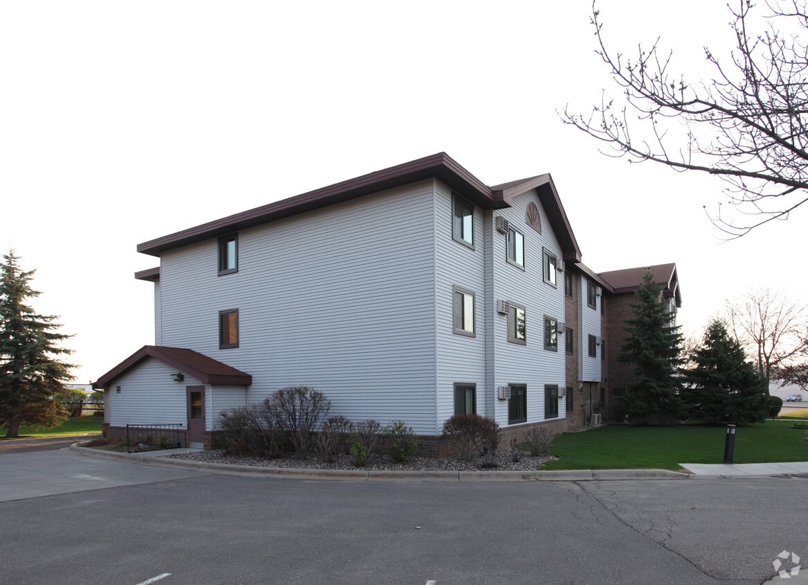
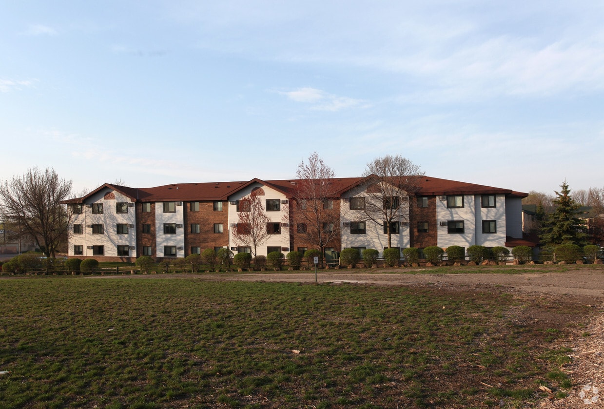
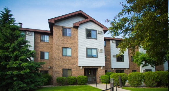
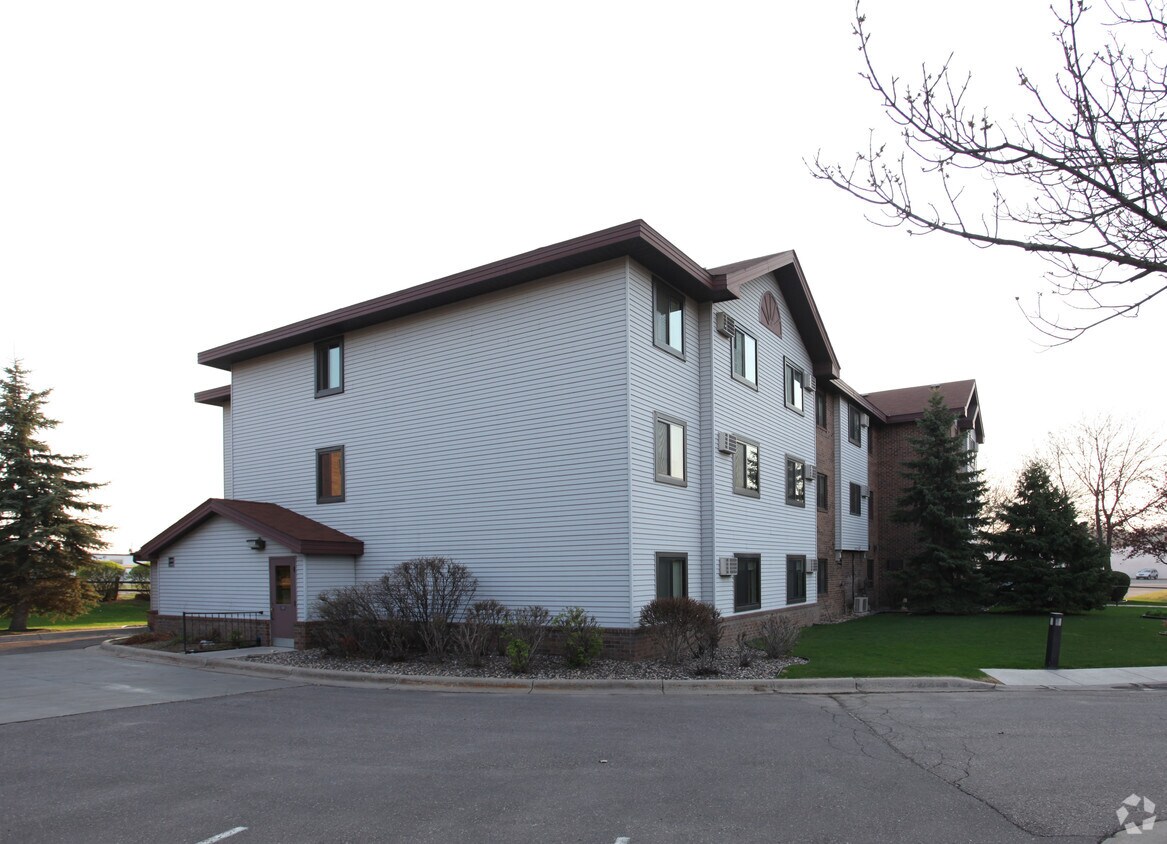
Discover your new apartment at Walker on Kenzie. This community is located in the Audubon Park area of St. Anthony. The professional leasing staff is ready to help you find your new place. Give us a call now to see everything we have to offer.
Walker on Kenzie is an apartment community located in Hennepin County and the 55418 ZIP Code. This area is served by the Columbia Heights Public School Dist attendance zone.
Five miles northeast of downtown Minneapolis and eight miles northwest of downtown Saint Paul lies Saint Anthony. Accessible from I-35W, County Road D, Highway 88, Highway 280, I-94, and Silver Lake Road, driving to and from Saint Anthony is a breeze. Saint Anthony is also convenient to the Northstar Commuter Rail Line via Fridley Station and Target Field Station, making for a low-stress commute. The Minneapolis-Saint Paul International Airport is less than a half hour away from Saint Anthony as well, so a getaway is never too far when you need one.
Boasting a small community, Saint Anthony is known for its distinguished school district, burgeoning arts scene, and lush parks. Silverwood Park is a hit among locals for its natural beauty as well as the countless events and activities held within its borders. Residents also enjoy playing golf at the Gross National Golf Club.
Learn more about living in Saint Anthony| Colleges & Universities | Distance | ||
|---|---|---|---|
| Colleges & Universities | Distance | ||
| Drive: | 8 min | 3.9 mi | |
| Drive: | 11 min | 4.3 mi | |
| Drive: | 11 min | 4.7 mi | |
| Drive: | 10 min | 4.8 mi |


Transportation options available in Saint Anthony include East Bank Station, located 4.2 miles from Walker on Kenzie. Walker on Kenzie is near Minneapolis-St Paul International/Wold-Chamberlain, located 13.7 miles or 25 minutes away.
| Transit / Subway | Distance | ||
|---|---|---|---|
| Transit / Subway | Distance | ||
| Drive: | 10 min | 4.2 mi | |
| Drive: | 9 min | 4.4 mi | |
| Drive: | 9 min | 4.4 mi | |
| Drive: | 11 min | 4.5 mi | |
| Drive: | 11 min | 4.9 mi |
| Commuter Rail | Distance | ||
|---|---|---|---|
| Commuter Rail | Distance | ||
|
|
Drive: | 12 min | 5.6 mi |
|
|
Drive: | 14 min | 7.2 mi |
|
|
Drive: | 19 min | 12.0 mi |
|
|
Drive: | 25 min | 18.6 mi |
|
|
Drive: | 26 min | 20.3 mi |
| Airports | Distance | ||
|---|---|---|---|
| Airports | Distance | ||
|
Minneapolis-St Paul International/Wold-Chamberlain
|
Drive: | 25 min | 13.7 mi |
Time and distance from Walker on Kenzie.
| Shopping Centers | Distance | ||
|---|---|---|---|
| Shopping Centers | Distance | ||
| Drive: | 3 min | 1.1 mi | |
| Drive: | 6 min | 1.6 mi | |
| Drive: | 5 min | 1.9 mi |
| Parks and Recreation | Distance | ||
|---|---|---|---|
| Parks and Recreation | Distance | ||
|
Windom Park
|
Walk: | 15 min | 0.8 mi |
|
Audubon Park
|
Drive: | 4 min | 1.5 mi |
|
Waite Park
|
Drive: | 5 min | 1.7 mi |
|
Deming Heights Park
|
Drive: | 6 min | 1.7 mi |
|
Northeast Athletic Field Park
|
Drive: | 5 min | 1.9 mi |
| Hospitals | Distance | ||
|---|---|---|---|
| Hospitals | Distance | ||
| Drive: | 10 min | 4.8 mi | |
| Drive: | 13 min | 5.0 mi | |
| Drive: | 9 min | 5.2 mi |
| Military Bases | Distance | ||
|---|---|---|---|
| Military Bases | Distance | ||
| Drive: | 20 min | 10.7 mi |
$1,375 - $1,720
Plus Fees1-2 Beds
Pets Allowed Fitness Center Pool Dishwasher Refrigerator Kitchen
$2,049 - $6,257
Total Monthly Price1-2 Beds
Pets Allowed Fitness Center Pool Dishwasher Refrigerator Clubhouse Maintenance on site
$1,586 - $5,156
Total Monthly Price1-2 Beds
Pets Allowed Fitness Center Pool In Unit Washer & Dryer Walk-In Closets High-Speed Internet Controlled Access
$1,019 - $1,199
Plus Fees1 Bed
Pets Allowed Fitness Center Pool Dishwasher Refrigerator Kitchen
$1,853 - $3,353
Total Monthly Price1-2 Beds
Pets Allowed Fitness Center Pool In Unit Washer & Dryer Maintenance on site Stainless Steel Appliances Granite Countertops
What Are Walk Score®, Transit Score®, and Bike Score® Ratings?
Walk Score® measures the walkability of any address. Transit Score® measures access to public transit. Bike Score® measures the bikeability of any address.
What is a Sound Score Rating?
A Sound Score Rating aggregates noise caused by vehicle traffic, airplane traffic and local sources
2626 Kenzie Ter NE
Saint Anthony, MN 55418


