Median Age
41 Years
Largest Age Group
30-39 Years
Approximately 14% of Residents
Under 20
22%
Over 65
20%

Avg Rent
$1,149
Population
27,986
Renter Mix
42% Rent
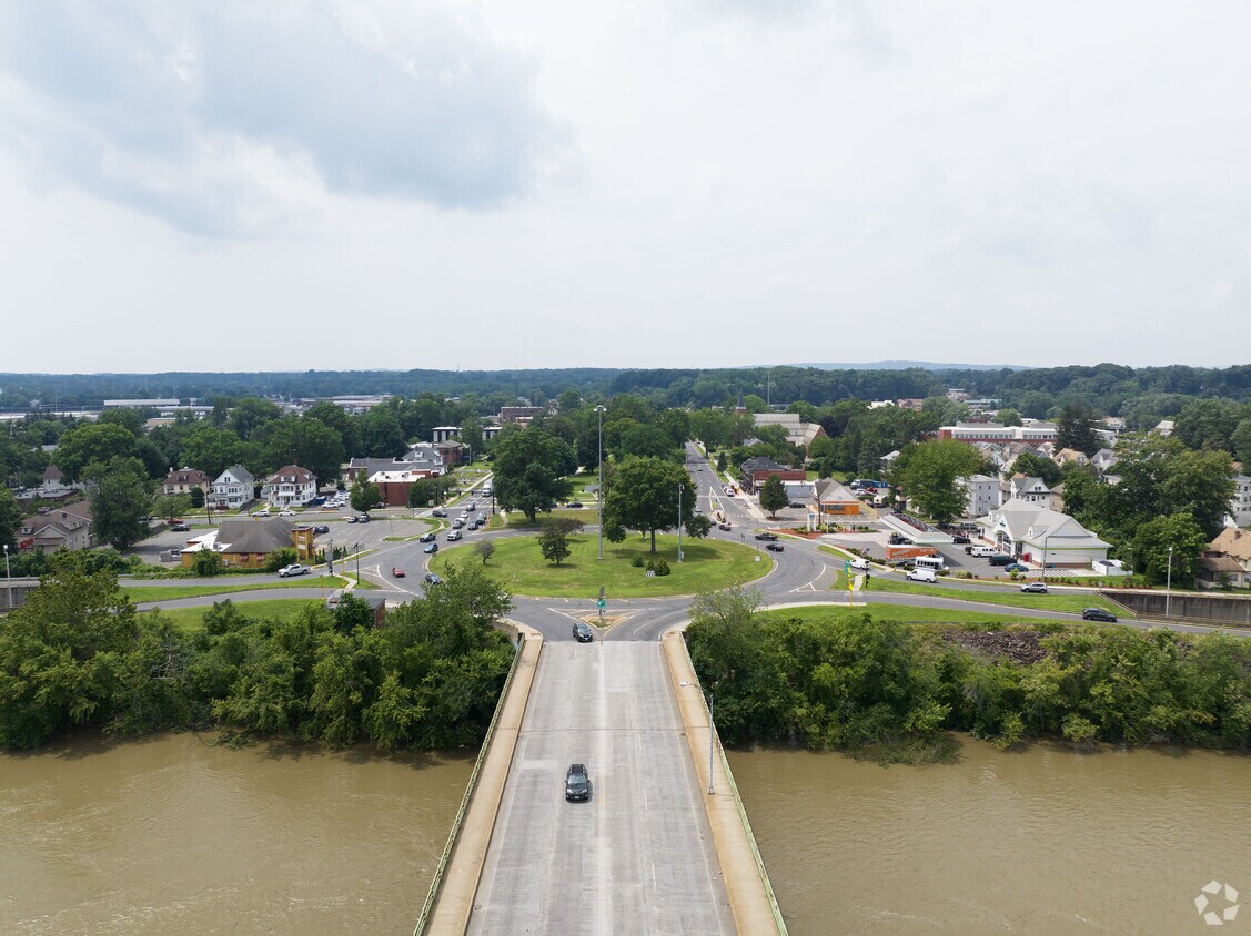
West Springfield is a scenic suburb located on the western side of the Connecticut River, across from the city of Springfield. Commonly known as “West Side” among locals, West Springfield functions as an extension of its larger neighbor in many ways. The two cities share numerous cultural resources, and West Springfield serves as a home base for many commuters who cross the river for work.
Picturesque residential neighborhoods comprise the bulk of the city, lending a peaceful atmosphere to West Springfield overall. Riverdale Shops, a thriving shopping district along the Connecticut River just off of I-91, provides residents with a host of modern delights right in town. The surrounding countryside is rich with forests, brooks, hills, and rock formations that offer endless opportunities for outdoor exploration. West Springfield is also adjacent to area destinations such as Robinson State Park, Six Flags New England, and Holyoke Mall.
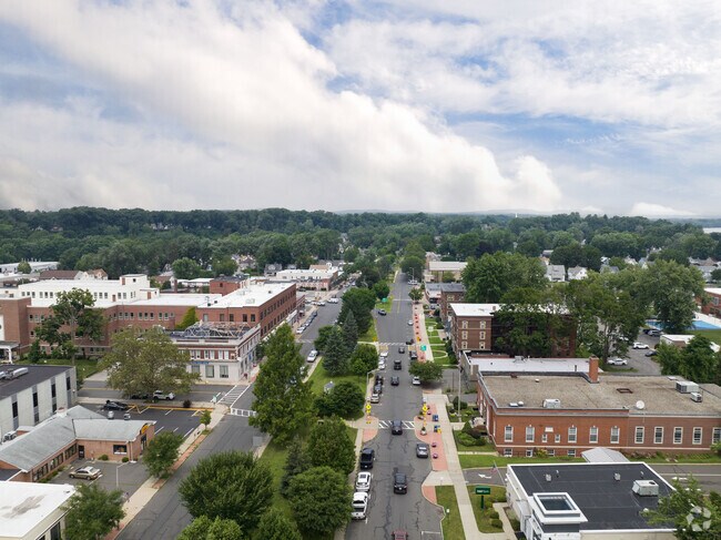
West Springfield is a lovely neighborhood to work and live in.
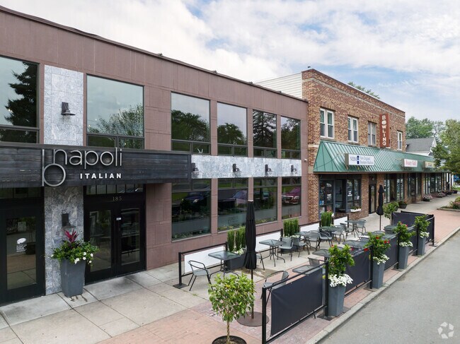
Restaurants and shops are scattered throughout West Springfield.
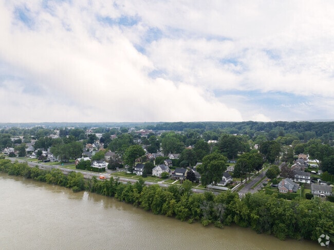
River homes can be found along the Connecticut River in West Springfield.
Storrowton Village aims to preserve and showcase New England's rural heritage from the past.
The trail offers a pleasant and relatively easy hiking experience in West Springfield..
A row of ranch style homes nicely mowed in West Springfield, MA.
Median Household Income
$64,237
Average: $92,232
Education
8,074
Residents Have a Degree
Job Market
14,919
Workers Employed
Median Age
41 Years
Largest Age Group
30-39 Years
Approximately 14% of Residents
Under 20
22%
Over 65
20%
Housing Distribution
West Springfield has more homeowners than renters.

Education Distribution
Review this city's overall education levels.

As of July 2026, the average apartment rent in West Springfield, MA is $1,074 for a studio, $1,149 for one bedroom, $1,569 for two bedrooms, and $1,969 for three bedrooms. Apartment rent in West Springfield has increased by 1.6% in the past year.
Explore how walkable, bikeable, drivable, and transit-friendly West Springfield, MA is for everyday living.
Somewhat Walkable
Walkability
Exceptionally Drivable
Drivability
Fairly Bikeable
Bikeability
John R Fausey Elementary School
Public
Grades K-5
411 Students

Public
Grades K-5
263 Students

Public
Grades K-5
195 Students
Philip G Coburn Elementary School
Public
Grades PK-5
686 Students

Public
Grades K-5
62 Students

West Springfield Middle School
Public
Grades 6-8
871 Students

Public
Grades 6-8
871 Students
Public
Grades 9-12
1,172 Students
Public
Grades 9-12
1,172 Students
Public
Grades 9-12
8 Students
† Our analysis of utilities, groceries, transportation, healthcare, home prices, and other goods and services is sourced from the Cost of Living Index, a respected benchmark published by the Council for Community and Economic Research (C2ER) that provides a thorough overview of living expenses across different regions.
Rent data is provided by CoStar Group’s Market Trend reports. As the industry leader in commercial real estate information, analytics, and news, CoStar conducts extensive research to produce and maintain a comprehensive database of commercial real estate information. We combine this data with public record to provide the most up-to-date rental information available.
Consumer goods, services, and home prices are sourced from the Cost of Living Index published by the Council for Community and Economic Research (C2ER). The data on this page is updated quarterly. It was last published in June 2026.
Demographic information comes from Neustar and combines detailed address data with U.S. Census and American Community Survey statistics to produce reliable local estimates.


