
The Westlyn Apartments
240 Thompson Ave E,
West Saint Paul, MN 55118
$1,395 - $3,980
Studio - 3 Beds

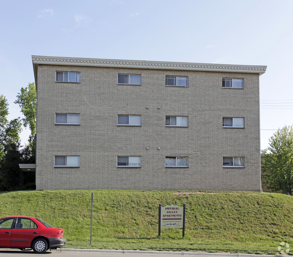
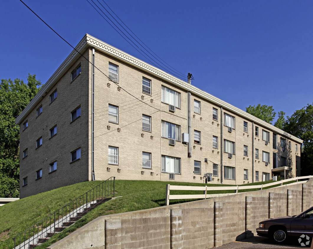
Imperial Valley Apartments is an apartment community located in Dakota County and the 55118 ZIP Code. This area is served by the West St. Paul-Mendota Hts.-Eagan attendance zone.
Refrigerator
Smoke Free
Heating
Range
South St. Paul is southwest of the Minneapolis/St. Paul area and is conveniently located off Highway 494 along the banks of the Mississippi. With a rich historic background and cultural diversity, the South St. Paul area is known for a laid-back lifestyle while providing a comfortable and affordable way of life.
South St. Paul prides itself on being a family-friendly community while also offering easy access to all the comforts of big city life. The area has a wide range of entertainment and recreational opportunities and hosts community events all year around.
Learn more about living in South St Paul| Colleges & Universities | Distance | ||
|---|---|---|---|
| Colleges & Universities | Distance | ||
| Drive: | 10 min | 4.4 mi | |
| Drive: | 9 min | 4.4 mi | |
| Drive: | 14 min | 6.8 mi | |
| Drive: | 13 min | 6.8 mi |


Transportation options available in West Saint Paul include Central Station, located 3.2 miles from Imperial Valley Apartments. Imperial Valley Apartments is near Minneapolis-St Paul International/Wold-Chamberlain, located 9.4 miles or 17 minutes away.
| Transit / Subway | Distance | ||
|---|---|---|---|
| Transit / Subway | Distance | ||
| Drive: | 7 min | 3.2 mi | |
| Drive: | 7 min | 3.2 mi | |
| Drive: | 7 min | 3.4 mi | |
| Drive: | 8 min | 3.7 mi | |
| Drive: | 8 min | 3.8 mi |
| Commuter Rail | Distance | ||
|---|---|---|---|
| Commuter Rail | Distance | ||
|
|
Drive: | 8 min | 3.5 mi |
|
|
Drive: | 26 min | 13.7 mi |
|
|
Drive: | 29 min | 20.0 mi |
|
|
Drive: | 39 min | 28.1 mi |
|
|
Drive: | 41 min | 29.8 mi |
| Airports | Distance | ||
|---|---|---|---|
| Airports | Distance | ||
|
Minneapolis-St Paul International/Wold-Chamberlain
|
Drive: | 17 min | 9.4 mi |
Time and distance from Imperial Valley Apartments.
| Shopping Centers | Distance | ||
|---|---|---|---|
| Shopping Centers | Distance | ||
| Walk: | 9 min | 0.5 mi | |
| Walk: | 15 min | 0.8 mi | |
| Drive: | 3 min | 1.2 mi |
| Parks and Recreation | Distance | ||
|---|---|---|---|
| Parks and Recreation | Distance | ||
|
Dodge Nature Center
|
Drive: | 4 min | 1.5 mi |
|
Cherokee Regional Park
|
Drive: | 7 min | 2.8 mi |
|
Kellogg Mall Park
|
Drive: | 7 min | 3.2 mi |
|
Irvine Park
|
Drive: | 8 min | 3.8 mi |
|
Science Museum of Minnesota
|
Drive: | 8 min | 4.1 mi |
| Hospitals | Distance | ||
|---|---|---|---|
| Hospitals | Distance | ||
| Drive: | 8 min | 3.8 mi | |
| Drive: | 8 min | 3.8 mi | |
| Drive: | 8 min | 3.8 mi |
| Military Bases | Distance | ||
|---|---|---|---|
| Military Bases | Distance | ||
| Drive: | 15 min | 8.2 mi |
What Are Walk Score®, Transit Score®, and Bike Score® Ratings?
Walk Score® measures the walkability of any address. Transit Score® measures access to public transit. Bike Score® measures the bikeability of any address.
What is a Sound Score Rating?
A Sound Score Rating aggregates noise caused by vehicle traffic, airplane traffic and local sources
85 Emerson Ave E
West Saint Paul, MN 55118


