Median Age
40 Years
Largest Age Group
30-39 Years
Approximately 14% of Residents
Under 20
23%
Over 65
20%
Area Guide
Avg Rent
$1,196
Population
21,774
Renter Mix
46% Rent
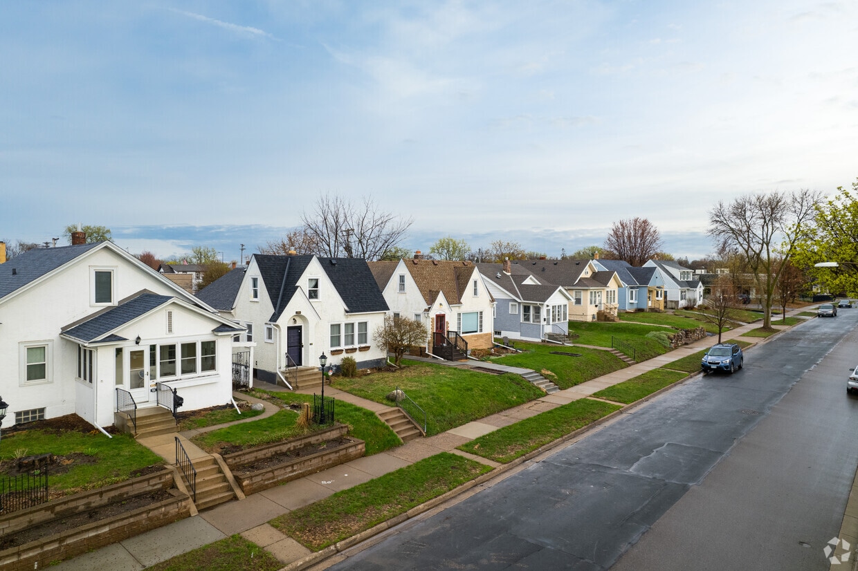
West Saint Paul earned its name not from geography but from history — it once sat across the river from Saint Paul on the west bank of the Mississippi, and the name stuck. Tucked into Dakota County, this compact city covers just six square miles yet packs in a surprising amount of green space, from Garlough Park and Marthaler Park to the sprawling Thompson County Park. The Dodge Nature Center draws outdoor enthusiasts year-round, while Lilydale/Harriet Island Regional Park sits just minutes away along the riverfront.
South Robert Street anchors daily life with grocery stores, shops, and dining, and downtown Saint Paul is practically a neighbor, making it easy to tap into the bigger city's museums, arts scene, and entertainment.
The rental market here offers solid variety, with traditional apartment communities, townhomes, and garden-style buildings spread throughout walkable stretches of the city. Options range from cozy studios to spacious three-bedroom layouts, giving renters plenty of room to find a fit. West Saint Paul also borders Mendota Heights and sits near South Saint Paul, broadening the sense of community well beyond its modest footprint.
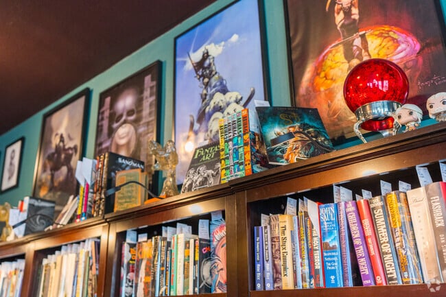
Other Skies Weird Fiction has rare and out-of-print horror, sci-fi and fantasy.
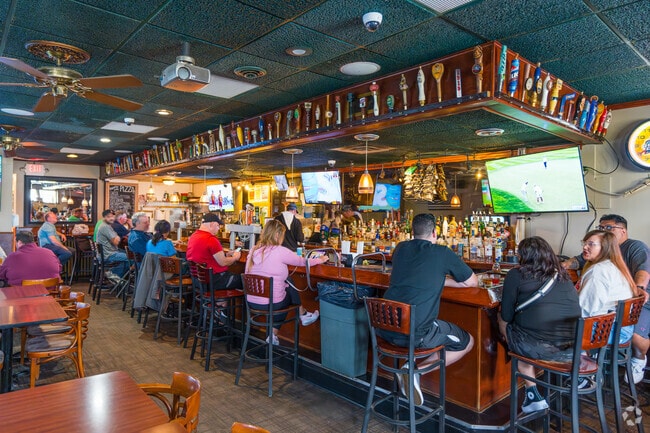
The bar at Tappers Pub has a large tap selection and is famous for its Coney Island Pizza.
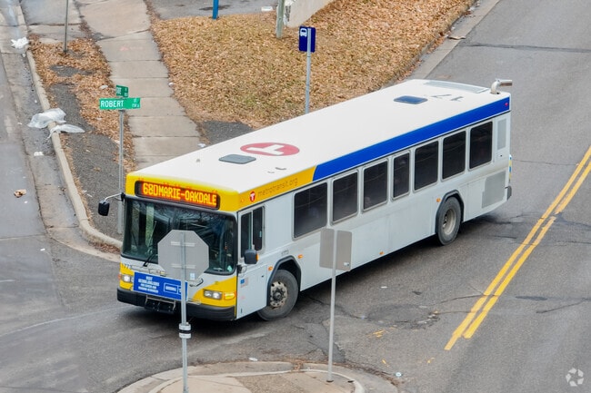
Residents often take the city bus to get to and from different areas of St. Paul.
Mike's Butcher Shop is a traditional butcher in West St Paul featuring many in-house products.
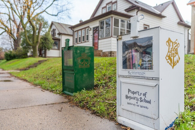
West St. Paul has a lot of older local shops and businesses on Smith Ave.
Thompson County Park is one of the larger city parks.
Median Household Income
$61,677
Average: $83,504
Education
6,650
Residents Have a Degree
Job Market
11,380
Workers Employed
Median Age
40 Years
Largest Age Group
30-39 Years
Approximately 14% of Residents
Under 20
23%
Over 65
20%
Housing Distribution
West Saint Paul has more homeowners than renters.

Education Distribution
Review this city's overall education levels.

As of July 2026, the average apartment rent in West Saint Paul, MN is $1,172 for a studio, $1,195 for one bedroom, $1,453 for two bedrooms, and $2,282 for three bedrooms. Apartment rent in West Saint Paul has increased by 3.1% in the past year.
Explore how walkable, bikeable, drivable, and transit-friendly West Saint Paul, MN is for everyday living.
Fairly Walkable
Walkability
Limited Public Transit
Transit
Exceptionally Drivable
Drivability
Fairly Bikeable
Bikeability
Public
Grades K-5
414 Students

Moreland Art/Health Science Magnet
Public
Grades PK-5
384 Students

Public
Grades K-8
761 Students

Public
Grades PK-12
116 Students
Public
Grades K-8
761 Students
Public
Grades PK-12
116 Students
Public
Grades 9-12
74 Students

Public
Grades 9-12
78 Students

Public
Grades PK-12
116 Students
† Our analysis of utilities, groceries, transportation, healthcare, home prices, and other goods and services is sourced from the Cost of Living Index, a respected benchmark published by the Council for Community and Economic Research (C2ER) that provides a thorough overview of living expenses across different regions.
Rent data is provided by CoStar Group’s Market Trend reports. As the industry leader in commercial real estate information, analytics, and news, CoStar conducts extensive research to produce and maintain a comprehensive database of commercial real estate information. We combine this data with public record to provide the most up-to-date rental information available.
Consumer goods, services, and home prices are sourced from the Cost of Living Index published by the Council for Community and Economic Research (C2ER). The data on this page is updated quarterly. It was last published in June 2026.
Demographic information comes from Neustar and combines detailed address data with U.S. Census and American Community Survey statistics to produce reliable local estimates.


