
The Indie
35-43 Braintree St,
Boston, MA 02134
$2,675 - $6,385 Total Monthly Price
Studio - 3 Beds

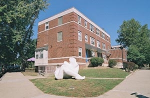
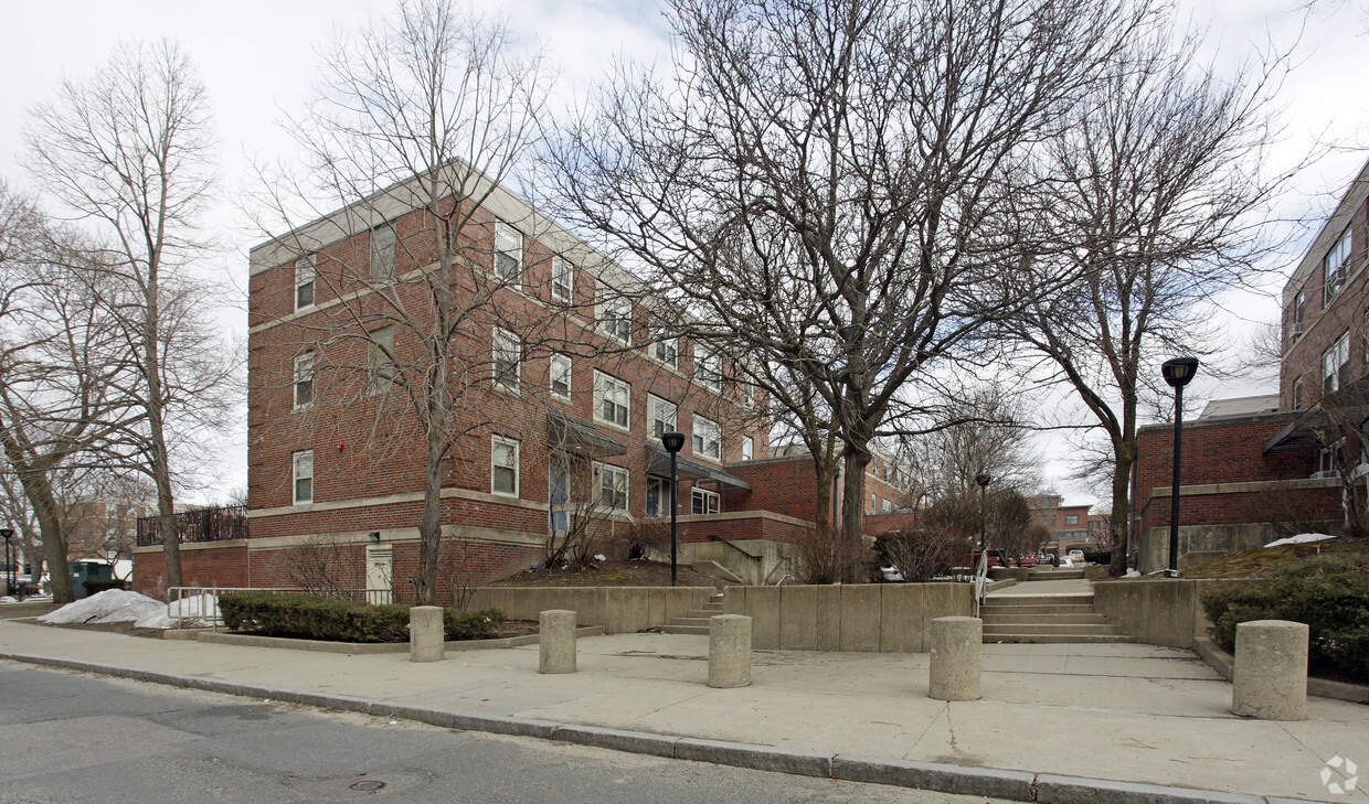
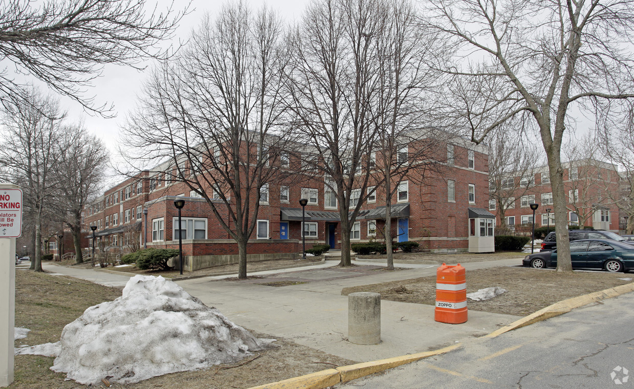
Commonwealth Apartments offers a blend of comfort and quality. You'll find this community on Fidelis Way in Brighton. Select from 1 to 5 bedroom floor plans, then call for current pricing. From amenities to floor plan options, the leasing staff is excited to help you find the best floor plan for your lifestyle. Experience a better way of living at Commonwealth Apartments. Contact us or stop in to discuss your new apartment.
Commonwealth Apartments is an apartment community located in Suffolk County and the 02135 ZIP Code. This area is served by the Boston Public Schools attendance zone.
Sede del club
Centro de negocios
Property manager in situ
Actividades sociales planificadas
Saint Elizabeth’s is a Brighton neighborhood situated about 10 miles away from Boston. Thanks to Saint Elizabeth’s top border sitting on Highway 20, commuting in and out of Brighton is easy. Some residents travel by car, but buses and railways make commuting via public transportation a breeze.
The neighborhood’s best amenities are two world-renowned hospitals, Saint Elizabeth’s Medical Center and Franciscan Children’s, that sit on the edge of town. Other great amenities of Saint Elizabeth’s include many local parks like Ringer Playground and Chestnut Hill Reservoir, which has great trails and greenspace. This neighborhood is also equipped with cozy coffee shops, restaurants serving international and American classics, and shopping plazas with grocers and convenience stores.
Saint Elizabeth’s has several rental options ranging from apartments to single-family homes.
Learn more about living in St Elizabeth'sCompare neighborhood and city base rent averages by bedroom.
| St Elizabeth's | Brighton, MA | |
|---|---|---|
| Studio | $2,626 | $2,373 |
| 1 Bedroom | $2,715 | $2,477 |
| 2 Bedrooms | $3,322 | $3,053 |
| 3 Bedrooms | $4,680 | $3,806 |
| Colleges & Universities | Distance | ||
|---|---|---|---|
| Colleges & Universities | Distance | ||
| Drive: | 4 min | 1.8 mi | |
| Drive: | 4 min | 1.9 mi | |
| Drive: | 5 min | 2.3 mi | |
| Drive: | 6 min | 2.9 mi |

Transportation options available in Brighton include Washington Street, located 0.3 mile from Commonwealth Apartments. Commonwealth Apartments is near General Edward Lawrence Logan International, located 9.4 miles or 17 minutes away.
| Transit / Subway | Distance | ||
|---|---|---|---|
| Transit / Subway | Distance | ||
|
|
Walk: | 4 min | 0.3 mi |
|
|
Walk: | 7 min | 0.4 mi |
|
|
Walk: | 8 min | 0.5 mi |
|
|
Walk: | 10 min | 0.6 mi |
|
|
Drive: | 3 min | 1.4 mi |
| Commuter Rail | Distance | ||
|---|---|---|---|
| Commuter Rail | Distance | ||
|
|
Drive: | 7 min | 3.5 mi |
|
|
Drive: | 8 min | 3.6 mi |
|
|
Drive: | 8 min | 3.7 mi |
|
|
Drive: | 10 min | 4.5 mi |
| Drive: | 9 min | 4.5 mi |
| Airports | Distance | ||
|---|---|---|---|
| Airports | Distance | ||
|
General Edward Lawrence Logan International
|
Drive: | 17 min | 9.4 mi |
Time and distance from Commonwealth Apartments.
| Shopping Centers | Distance | ||
|---|---|---|---|
| Shopping Centers | Distance | ||
| Walk: | 7 min | 0.4 mi | |
| Walk: | 14 min | 0.7 mi | |
| Drive: | 4 min | 1.2 mi |
| Parks and Recreation | Distance | ||
|---|---|---|---|
| Parks and Recreation | Distance | ||
|
Chestnut Hill Reservation
|
Drive: | 2 min | 1.2 mi |
|
John Fitzgerald Kennedy National Historic Site
|
Drive: | 3 min | 1.7 mi |
|
Frederick Law Olmsted National Historic Site
|
Drive: | 5 min | 2.0 mi |
|
Coit Observatory
|
Drive: | 6 min | 2.8 mi |
|
Hammond Pond Reservation
|
Drive: | 6 min | 3.0 mi |
| Hospitals | Distance | ||
|---|---|---|---|
| Hospitals | Distance | ||
| Walk: | 6 min | 0.3 mi | |
| Walk: | 10 min | 0.5 mi | |
| Drive: | 3 min | 1.7 mi |
| Military Bases | Distance | ||
|---|---|---|---|
| Military Bases | Distance | ||
| Drive: | 28 min | 12.8 mi | |
| Drive: | 23 min | 13.7 mi |
Pets Allowed Fitness Center In Unit Washer & Dryer Balcony High-Speed Internet Stainless Steel Appliances
Pets Allowed Fitness Center Pool Dishwasher Refrigerator Kitchen
Pets Allowed Fitness Center Pool Dishwasher Kitchen In Unit Washer & Dryer
Pets Allowed Fitness Center Pool Dishwasher Refrigerator Kitchen
Pets Allowed Fitness Center Granite Countertops Smoke Free
What Are Walk Score®, Transit Score®, and Bike Score® Ratings?
Walk Score® measures the walkability of any address. Transit Score® measures access to public transit. Bike Score® measures the bikeability of any address.
What is a Sound Score Rating?
A Sound Score Rating aggregates noise caused by vehicle traffic, airplane traffic and local sources
35 Fidelis Way
Brighton, MA 02135

")


