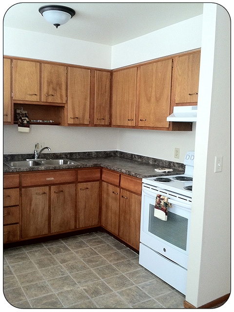
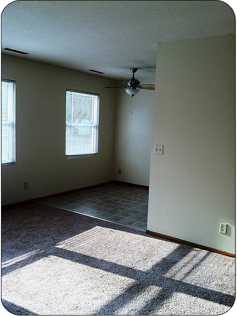


$1,545 - $2,740
Total Monthly PriceBase Rent$1,495 - $2,690
Required Monthly Fees$50
Total Monthly Price$1,545 - $2,740
12 Month Lease
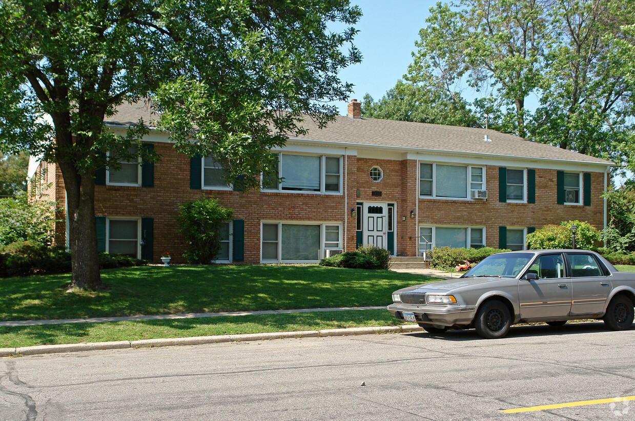
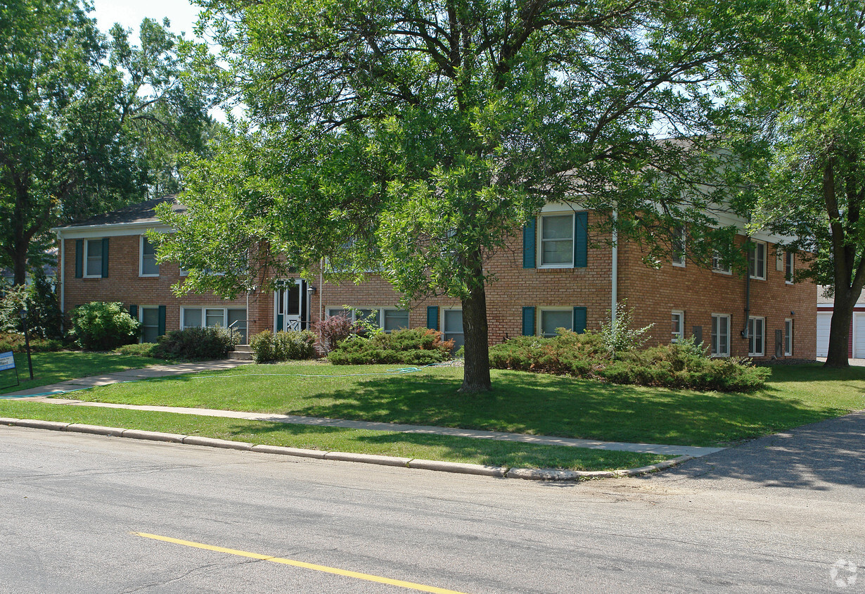
1-3 Beds
Pets Allowed Fitness Center In Unit Washer & Dryer Maintenance on site Controlled Access


