
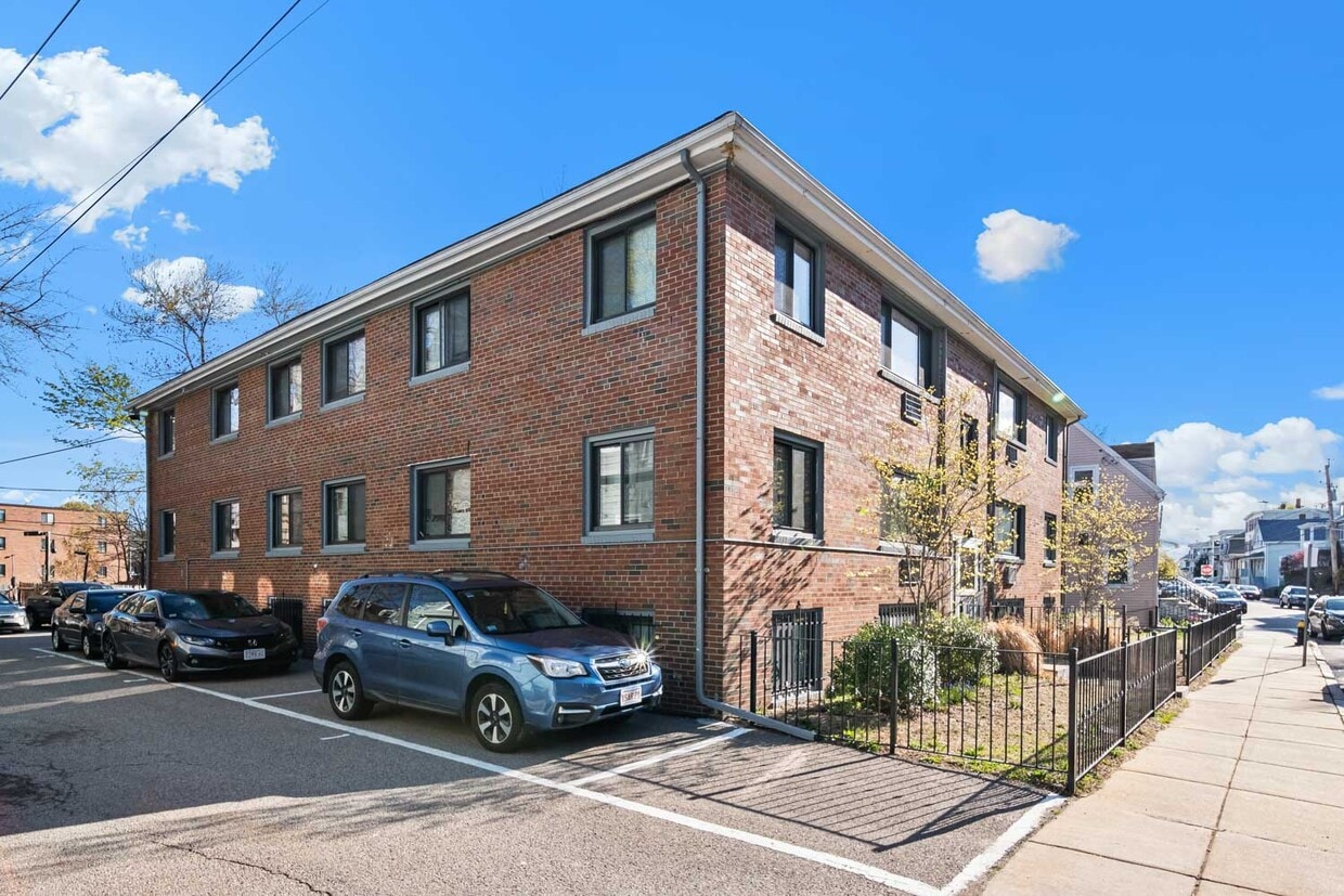
95 Saint
95 St. Alphonsus St,
Boston, MA 02120
Studio - 2 Beds $3,330 - $5,375

High-quality, hassle-free apartments, Noah at Ashmont Noah Living offers renters high-quality, recently updated apartments at an accessible price point. To improve your experience, our properties have a tailored set of family-friendly amenities such as on-site laundry, parking, and perks. Partnerships with financial planning apps and wellness companies are included in your rent. You can save on your prescriptions and gym membership just for being a resident at Noah! Enjoy the convenience our resident app provides. Pay your rent online and browse all the perks and partnerships we’ve assembled to make your life easier. Noah at Ashmont features: - 1-bed, and 2-bed apartments - Quality finishes - On-site laundry - Pet-friendly - Fully-equipped kitchens - Heating - On-site parking - Discounts on fitness, prescriptions, online counseling, and financial planning - Responsive property management - Alternatives to security deposits for a deposit-free lease - Only minutes to Hemenway Park, and Dr. Loesch Family Park, and Dorchester avenue - 10 min walk to the red line at Ashmont MBTA station - Close access to I-93 - Resident app (pay your rent online, browse perks and more!)
90 Wrentham St Apartments is an apartment community located in Suffolk County and the 02124 ZIP Code. This area is served by the Neighborhood House Charter (District) attendance zone.
A quick six miles directly south of Downtown Boston lies the close-knit community of Saintt. Marks, tightly packed with multi-family, triple-decker houses for rent. Workers reach the center of the city in less than 30 minutes by driving up Interstate 93 or taking the MBTA red line from Shawmut station. Dorchester Avenue runs through the heart of St. Marks, giving residents an active commercial district with homes lining the side streets.
Franklin Park, just two miles west of St. Marks, provides a large green space filled with wetlands, fields, and ponds. This is the location of the Franklin Park Zoo, the Franklin Park Playstead, and the William J. Devine Golf Course. Head a couple of blocks east to the parks along the Neponset River, including the dog-friendly Victory Road Park or to Tenean Beach, which offers a boardwalk, picnic areas, and a playground. During the summer and fall, head to the nearby Ashmont/Peabody Square Farmers Market to pick up some local New England produce.
Learn more about living in St Marks| Colleges & Universities | Distance | ||
|---|---|---|---|
| Colleges & Universities | Distance | ||
| Drive: | 9 min | 3.3 mi | |
| Drive: | 12 min | 5.0 mi | |
| Drive: | 11 min | 5.1 mi | |
| Drive: | 11 min | 5.6 mi |


Transportation options available in Boston include Ashmont Station, located 0.5 mile from 90 Wrentham St Apartments. 90 Wrentham St Apartments is near General Edward Lawrence Logan International, located 9.6 miles or 17 minutes away.
| Transit / Subway | Distance | ||
|---|---|---|---|
| Transit / Subway | Distance | ||
|
|
Walk: | 10 min | 0.5 mi |
|
|
Walk: | 13 min | 0.7 mi |
|
|
Walk: | 16 min | 0.8 mi |
|
|
Drive: | 2 min | 1.2 mi |
|
|
Drive: | 4 min | 1.7 mi |
| Commuter Rail | Distance | ||
|---|---|---|---|
| Commuter Rail | Distance | ||
| Drive: | 3 min | 1.2 mi | |
|
|
Drive: | 3 min | 1.9 mi |
| Drive: | 5 min | 2.0 mi | |
|
|
Drive: | 6 min | 2.8 mi |
| Drive: | 6 min | 2.9 mi |
| Airports | Distance | ||
|---|---|---|---|
| Airports | Distance | ||
|
General Edward Lawrence Logan International
|
Drive: | 17 min | 9.6 mi |
Time and distance from 90 Wrentham St Apartments.
| Shopping Centers | Distance | ||
|---|---|---|---|
| Shopping Centers | Distance | ||
| Drive: | 4 min | 1.3 mi | |
| Drive: | 4 min | 1.5 mi | |
| Drive: | 4 min | 1.5 mi |
| Parks and Recreation | Distance | ||
|---|---|---|---|
| Parks and Recreation | Distance | ||
|
Franklin Park Zoo
|
Drive: | 5 min | 2.4 mi |
|
Lower Neponset River Trail
|
Drive: | 6 min | 2.5 mi |
|
Dorchester Shores Reservation
|
Drive: | 8 min | 3.1 mi |
|
Mass Audubon's Boston Nature Center and Wildlife Sanctuary
|
Drive: | 7 min | 3.1 mi |
|
Squantum Point Park
|
Drive: | 9 min | 3.5 mi |
| Hospitals | Distance | ||
|---|---|---|---|
| Hospitals | Distance | ||
| Walk: | 17 min | 0.9 mi | |
| Drive: | 6 min | 3.1 mi | |
| Drive: | 9 min | 4.0 mi |
What Are Walk Score®, Transit Score®, and Bike Score® Ratings?
Walk Score® measures the walkability of any address. Transit Score® measures access to public transit. Bike Score® measures the bikeability of any address.
What is a Sound Score Rating?
A Sound Score Rating aggregates noise caused by vehicle traffic, airplane traffic and local sources
90 Wrentham St
Boston, MA 02124


