9 Williams St
9 Williams St,
Boston,
MA
02119
2 Weeks Ago
Favorites
9 Williams St

Favorites
Check Back Soon for Upcoming Availability
Fees and Policies
The fees below are based on community-supplied data and may exclude additional fees and utilities.
- Parking
-
Surface Lot$150/mo
Details
Lease Options
-
12 Months
Property Information
-
5 units
About 9 Williams St Boston, MA 02119
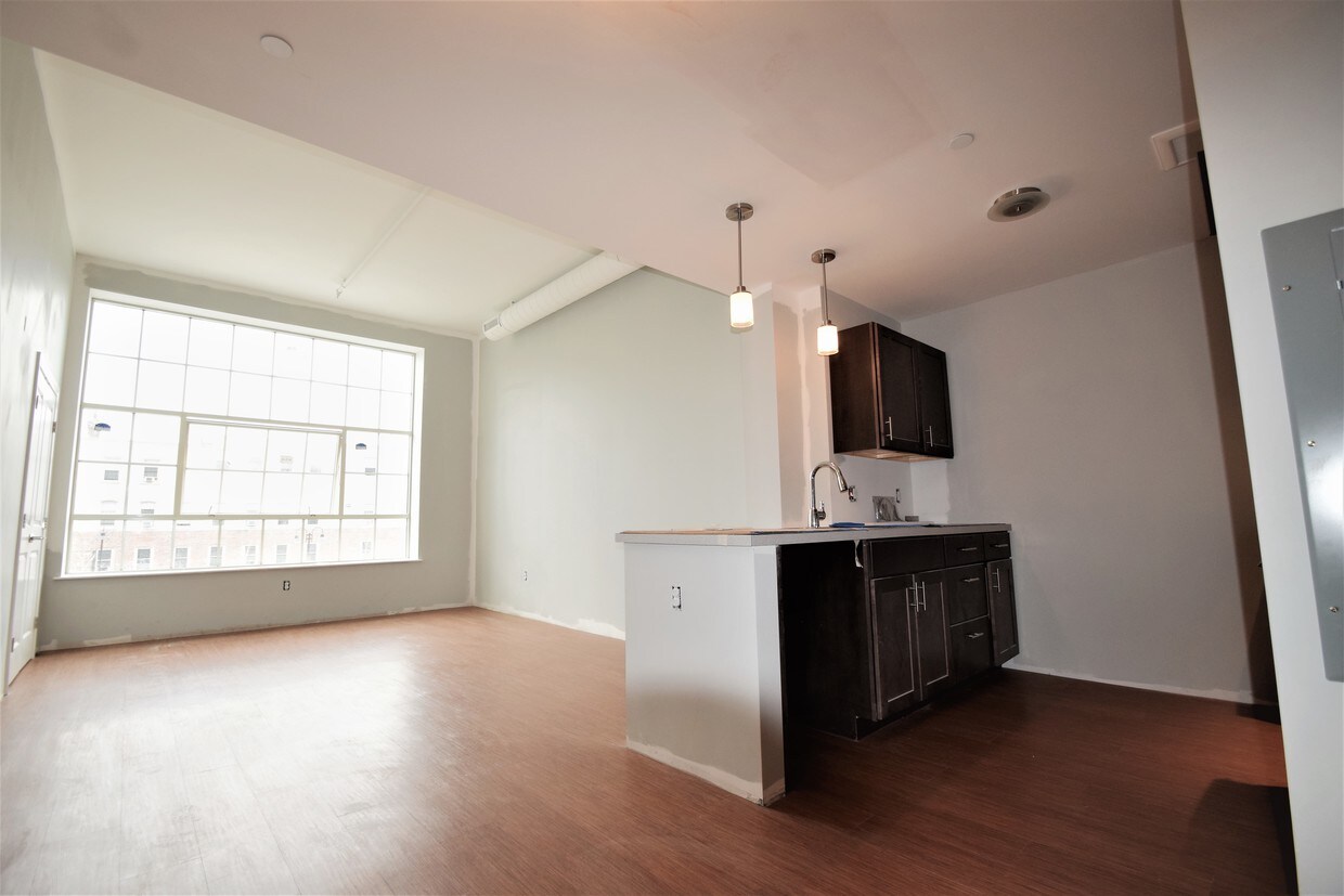
Be the first to live in this brand new construction- the first of its kind in Dudley Square! Renovated from the former Tropical Foods building, each unit features HUGE windows with tons of natural light. Laundry facilities are on each floor, and there are only 36 units in the building! Super high ceilings, hardwood floors and brand new, modern kitchens and baths. Highly convenient location in Dudley Square, minutes to the Orange Line at Ruggles, with tons of other MBTA options either right outside your door on Washington Street, or at the Dudley Square MBTA station! Situated next to the Haley House Cafe as well as lots of other shopping and dining options in Dudley, with the brand new Tropical Foods supermarket right next door! Also super convenient driving access, with I-93 and I-90 just two blocks down Melnea Cass- parking is available for rent. Studios, 1 and 2 bedrooms are now available for pre-lease. I have many more listings for rentals and sales throughout the Greater Boston and Brookline area. Stop wasting time on one-off showings, contact me today for personal, professional service and expert advice from a lifelong Boston resident to help find the best apartment for you!
9 Williams St is an apartment community located in Suffolk County and the 02119 ZIP Code.
Apartment Features
- Washer/Dryer Hookup
- Smoke Free
- Wheelchair Accessible (Rooms)
- Laundry Facilities
Location
Get Directions
Situated between the South End and Dudley Square, Lower Roxbury is a predominantly residential neighborhood brimming with apartments and town houses available for rent. Residents enjoy a walkable urban environment filled with diverse historical architecture.
Warren Street and Washington Street are the neighborhood’s main commercial thoroughfares, touting rows of specialty shops, markets, and eateries in historic buildings. Northeastern University, Wentworth Institute of Technology, and Massachusetts College of Art and Design are all just northwest of Lower Roxbury, offering the community a bevy of cultural and educational amenities. Getting around from Lower Roxbury is easy with access to multiple T stops on the Orange Line.
Learn more about living in Lower RoxburyBelow are rent ranges for similar nearby apartments
| Beds | Average Size | Lowest | Typical | Premium |
|---|---|---|---|---|
| Studio Studio Studio | 2484-2485 Sq Ft | $1,800 | $2,495 | $2,799 |
| 1 Bed 1 Bed 1 Bed | 4376-4382 Sq Ft | $1,750 | $2,662 | $3,699 |
| 2 Beds 2 Beds 2 Beds | 2852-2853 Sq Ft | $2,116 | $3,613 | $8,700 |
| 3 Beds 3 Beds 3 Beds | 4526 Sq Ft | $1,160 | $4,371 | $6,000 |
| 4 Beds 4 Beds 4 Beds | 5980 Sq Ft | $1,100 | $5,033 | $9,000 |
Amenities
- Washer/Dryer Hookup
- Smoke Free
- Wheelchair Accessible (Rooms)
- Laundry Facilities
Expenses
Recurring
Unassigned Surface Lot Parking
$150
Education
| Colleges & Universities | Distance | ||
|---|---|---|---|
| Colleges & Universities | Distance | ||
| Walk: | 17 min | 0.9 mi | |
| Drive: | 3 min | 1.2 mi | |
| Drive: | 4 min | 1.3 mi | |
| Drive: | 5 min | 1.6 mi |
9 Williams St is within 4 minutes or 1.3 miles from Northeastern University. It is also near Wentworth Inst. of Technology and MassArt.
Transportation options available in Boston include Roxbury Crossing Station, located 0.9 mile from 9 Williams St. 9 Williams St is near General Edward Lawrence Logan International, located 5.7 miles or 11 minutes away.
| Transit / Subway | Distance | ||
|---|---|---|---|
| Transit / Subway | Distance | ||
|
|
Walk: | 17 min | 0.9 mi |
|
|
Walk: | 18 min | 0.9 mi |
|
|
Drive: | 4 min | 1.3 mi |
|
|
Drive: | 4 min | 1.3 mi |
|
|
Drive: | 4 min | 1.4 mi |
| Commuter Rail | Distance | ||
|---|---|---|---|
| Commuter Rail | Distance | ||
| Drive: | 3 min | 1.2 mi | |
|
|
Drive: | 3 min | 1.3 mi |
|
|
Drive: | 3 min | 1.4 mi |
|
|
Drive: | 7 min | 1.9 mi |
|
|
Drive: | 9 min | 4.7 mi |
| Airports | Distance | ||
|---|---|---|---|
| Airports | Distance | ||
|
General Edward Lawrence Logan International
|
Drive: | 11 min | 5.7 mi |
Time and distance from 9 Williams St.
| Shopping Centers | Distance | ||
|---|---|---|---|
| Shopping Centers | Distance | ||
| Drive: | 2 min | 1.2 mi | |
| Drive: | 4 min | 1.6 mi | |
| Drive: | 11 min | 5.9 mi |
9 Williams St has 3 shopping centers within 5.9 miles, which is about a 11-minute drive. The miles and minutes will be for the farthest away property.
| Parks and Recreation | Distance | ||
|---|---|---|---|
| Parks and Recreation | Distance | ||
|
Roxbury Heritage State Park
|
Walk: | 11 min | 0.6 mi |
|
Lower Neponset River Trail
|
Drive: | 4 min | 2.1 mi |
|
Boston Public Garden
|
Drive: | 6 min | 2.2 mi |
|
Charles River Reservation
|
Drive: | 6 min | 2.4 mi |
|
Coit Observatory
|
Drive: | 6 min | 2.8 mi |
9 Williams St has 5 parks within 2.8 miles, including Roxbury Heritage State Park, Lower Neponset River Trail, and Boston Public Garden.
| Hospitals | Distance | ||
|---|---|---|---|
| Hospitals | Distance | ||
| Walk: | 10 min | 0.5 mi | |
| Walk: | 16 min | 0.8 mi | |
| Drive: | 3 min | 1.5 mi |
9 Williams St has 3 hospitals within 1.5 miles, the nearest is Boston Medical Center which is 0.5 mile away and a 10 minute walk.
| Military Bases | Distance | ||
|---|---|---|---|
| Military Bases | Distance | ||
| Drive: | 32 min | 16.0 mi |
9 Williams St is 16.0 miles and a 32 minute drive from Hanscom Air Force Base.
You May Also Like
Similar Rentals Nearby


What Are Walk Score®, Transit Score®, and Bike Score® Ratings?
Walk Score® measures the walkability of any address. Transit Score® measures access to public transit. Bike Score® measures the bikeability of any address.
What is a Sound Score Rating?
A Sound Score Rating aggregates noise caused by vehicle traffic, airplane traffic and local sources