
LeVante at Valley Vista
7618 N Decatur Blvd,
North Las Vegas, NV 89084
1-3 Beds $1,511 - $6,182

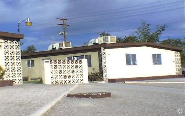
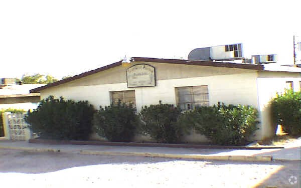

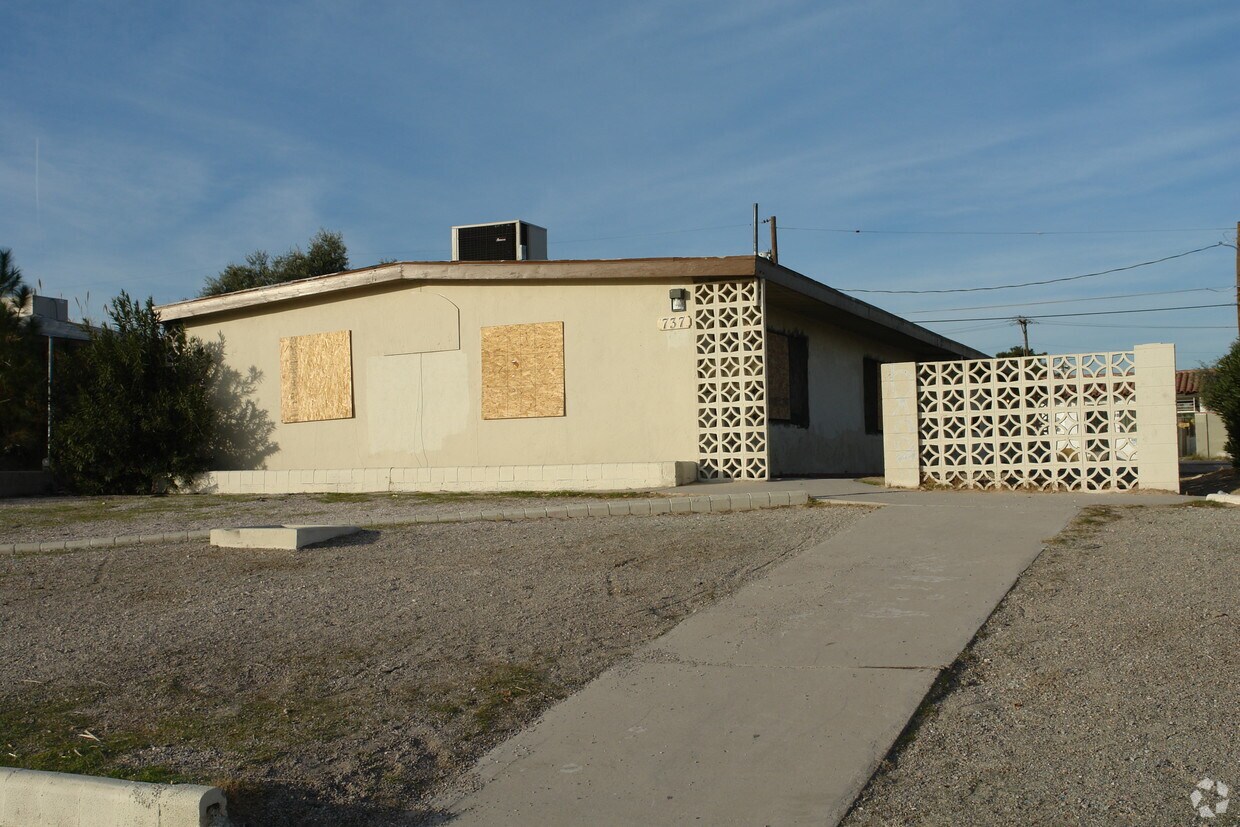
737 N 10th St in Las Vegas is ready to be your home. The 737 N. 10th St. location in Las Vegas's 89101 Zip code has so much to offer its residents. Make sure you to check out the current floorplan options. The professional leasing staff is waiting to show you all that this community has in store. At 737 N 10th St you'll feel right at home. Stop by the community today.
737 N 10th St is an apartment community located in Clark County and the 89101 ZIP Code. This area is served by the Clark County attendance zone.
High Speed Internet Access
Smoke Free
Heating
Range
Downtown serves as the center of all things commercial, cultural and culinary in Las Vegas, hosting extravagant hotels, gambling complexes, fine dining and happening nightlife options. Residential opportunities mostly consist of apartments and condos.
The downtown area has become very popular with local residents and enjoys more of a relaxed pace compared with the tourist-heavy Vegas Strip. A resurgence of restaurants, live music and other cultural growth is enjoyed by the downtown's diverse residents.
Learn more about living in Downtown Las Vegas| Colleges & Universities | Distance | ||
|---|---|---|---|
| Colleges & Universities | Distance | ||
| Drive: | 6 min | 3.0 mi | |
| Drive: | 9 min | 4.3 mi | |
| Drive: | 14 min | 6.2 mi | |
| Drive: | 13 min | 7.5 mi |


Transportation options available in Las Vegas include Sahara Station, located 3.9 miles from 737 N 10th St. 737 N 10th St is near Harry Reid International, located 7.6 miles or 16 minutes away, and Boulder City Municipal, located 26.3 miles or 34 minutes away.
| Transit / Subway | Distance | ||
|---|---|---|---|
| Transit / Subway | Distance | ||
|
|
Drive: | 8 min | 3.9 mi |
|
|
Drive: | 10 min | 4.3 mi |
|
|
Drive: | 9 min | 4.5 mi |
|
|
Drive: | 12 min | 6.6 mi |
|
|
Drive: | 11 min | 7.1 mi |
| Airports | Distance | ||
|---|---|---|---|
| Airports | Distance | ||
|
Harry Reid International
|
Drive: | 16 min | 7.6 mi |
|
Boulder City Municipal
|
Drive: | 34 min | 26.3 mi |
Time and distance from 737 N 10th St.
| Shopping Centers | Distance | ||
|---|---|---|---|
| Shopping Centers | Distance | ||
| Walk: | 6 min | 0.3 mi | |
| Walk: | 14 min | 0.8 mi | |
| Walk: | 14 min | 0.8 mi |
| Parks and Recreation | Distance | ||
|---|---|---|---|
| Parks and Recreation | Distance | ||
|
DISCOVERY Children's Museum
|
Walk: | 6 min | 0.3 mi |
|
Las Vegas Natural History Museum
|
Walk: | 6 min | 0.3 mi |
|
Old Las Vegas Mormon State Historic Park
|
Walk: | 8 min | 0.5 mi |
|
College of Southern Nevada Planetarium
|
Drive: | 8 min | 4.0 mi |
|
Springs Preserve
|
Drive: | 8 min | 4.3 mi |
| Hospitals | Distance | ||
|---|---|---|---|
| Hospitals | Distance | ||
| Drive: | 3 min | 1.9 mi | |
| Drive: | 6 min | 2.9 mi | |
| Drive: | 5 min | 2.9 mi |
| Military Bases | Distance | ||
|---|---|---|---|
| Military Bases | Distance | ||
| Drive: | 22 min | 11.4 mi |
What Are Walk Score®, Transit Score®, and Bike Score® Ratings?
Walk Score® measures the walkability of any address. Transit Score® measures access to public transit. Bike Score® measures the bikeability of any address.
What is a Sound Score Rating?
A Sound Score Rating aggregates noise caused by vehicle traffic, airplane traffic and local sources
737 N 10th St
Las Vegas, NV 89101


