
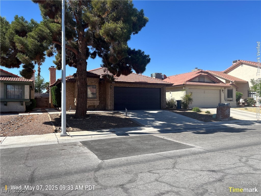
$1,775 / Month
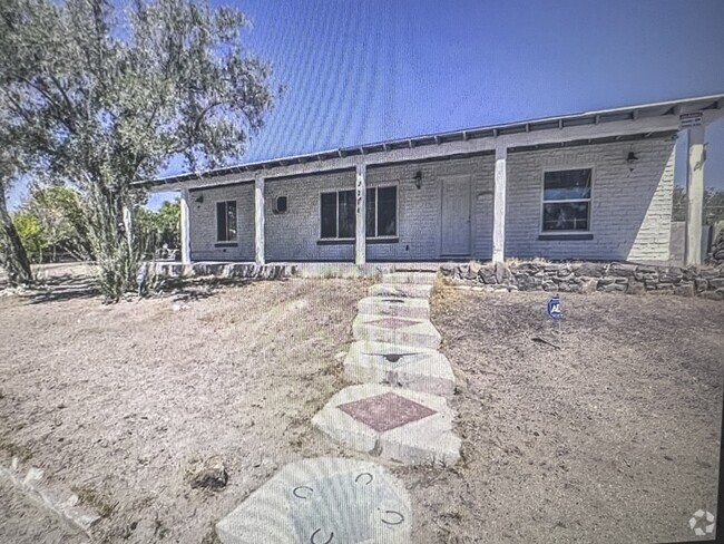
6433 Deadwood Rd
Las Vegas, NV 89108
Today
Favorites
702-788-2597
-
Bedrooms
3
-
Bathrooms
2
-
Square Feet
1,221 sq ft
-
Available
Available May 10
6433 Deadwood Rd

Favorites
About This Home
Available May 10
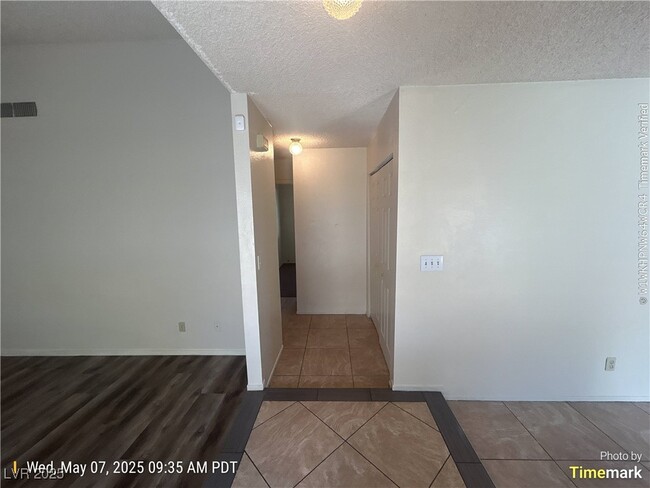
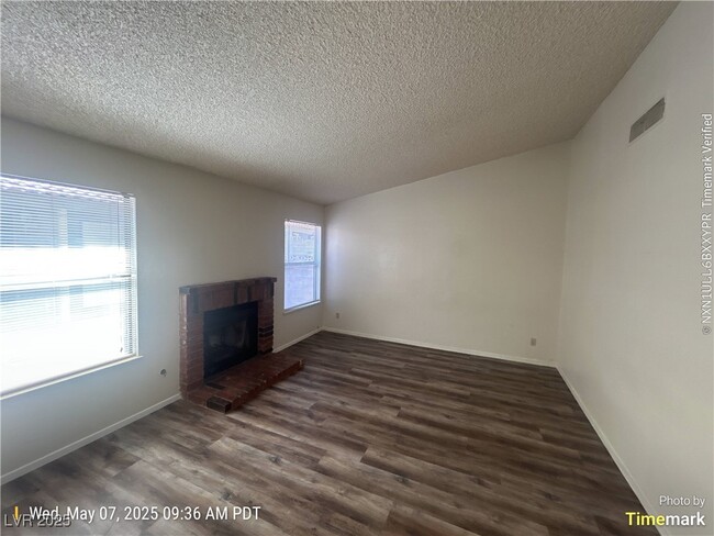
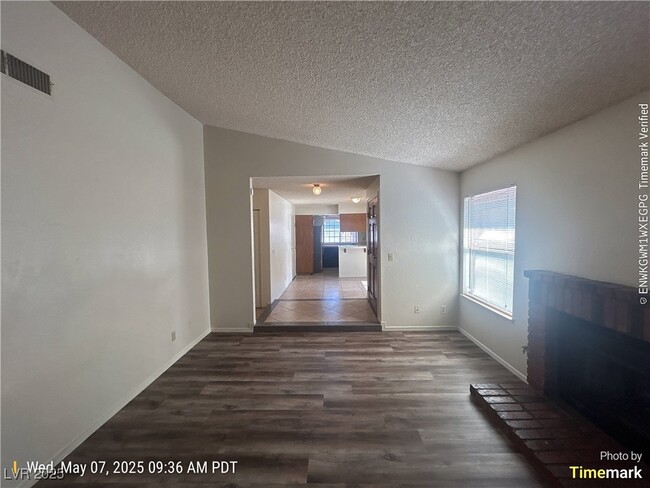
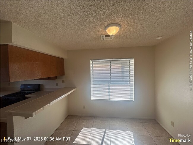
Cute 1 story home at Torrey Pines and Smoke Ranch, fire place, nice yard and appliances. 2 car garage with private back yard.
6433 Deadwood Rd is a house located in Clark County and the 89108 ZIP Code. This area is served by the Clark County attendance zone.
* Price shown is base rent and may not include non-optional fees and utilities.
Price, availability, fees, and any applicable rent special are subject to change without notice.
* Square footage definitions vary. Displayed square footage is approximate.
House Features
Washer/Dryer
Air Conditioning
Dishwasher
Microwave
- Washer/Dryer
- Air Conditioning
- Dishwasher
- Disposal
- Microwave
- Oven
- Range
- Refrigerator
- Carpet
- Tile Floors
Fees and Policies
The fees below are based on community-supplied data and may exclude additional fees and utilities.
- Parking
-
Garage--
Contact
- Listed by Lori Kalata | Desert Realty
- Phone Number
- Website View Property Website
- Contact
-
Source
 Greater Las Vegas Association of REALTORS®
©2025 Greater Las Vegas Association of REALTORS®. All rights reserved.
Location
Get Directions
Amenities
- Washer/Dryer
- Air Conditioning
- Dishwasher
- Disposal
- Microwave
- Oven
- Range
- Refrigerator
- Carpet
- Tile Floors
Tucked between Rancho Drive and the 95, Michael Way encompasses a number of prime suburban hotspots, all of them just six miles from the famous Las Vegas Strip. The area is classic Vegas with its towering palm trees, succulent gardens, and stucco homes. Three parks and the Las Vegas Golf Club round out Michael Way’s green space access, making for plenty of recreational escape from the desert landscape.
Chain restaurants and well-known retailers cater to most needs, but with the Strip so close there’s more unique fare and shopping to experience in just a matter of minutes. Domestic travelers will get plenty of use out of the North Las Vegas Airport that sits just across the 95, and those who commute for work by car are right next to the 15 and 95 junction.
Learn more about living in Michael Way
Education
| Colleges & Universities | Distance | ||
|---|---|---|---|
| Colleges & Universities | Distance | ||
| Drive: | 11 min | 3.9 mi | |
| Drive: | 12 min | 6.2 mi | |
| Drive: | 17 min | 8.8 mi | |
| Drive: | 22 min | 11.2 mi |
6433 Deadwood Rd is within 11 minutes or 3.9 miles from Southern Nevada, Charleston. It is also near Nev. State Coll., Shadow Lane and Southern Nevada, Cheyenne.
Schools


Public Elementary School
Grades PK-5
654 Students
Attendance Zone
Public Middle School
Grades 6-8
929 Students
Attendance Zone
Public High School
Grades 9-12
2,503 Students
Attendance Zone
Private Elementary School
Grades PK-2
Nearby
Private Elementary & Middle School
Grades PK-7
160 Students
Nearby
Private Elementary, Middle & High School
Grades K-12
153 Students
Nearby
School data provided by
 The GreatSchools Rating helps parents compare schools within a state based on a variety of school quality indicators and provides a helpful picture of how effectively each school serves all of its students. Ratings are on a scale of 1 (below average) to 10 (above average) and can include test scores, college readiness, academic progress, advanced courses, equity, discipline and attendance data. We also advise parents to visit schools, consider other information on school performance and programs, and consider family needs as part of the school selection process.
View GreatSchools Rating Methodology
View GreatSchools Rating Methodology
Transportation options available in Las Vegas include Sahara Station, located 8.1 miles from 6433 Deadwood Rd. 6433 Deadwood Rd is near Harry Reid International, located 12.4 miles or 24 minutes away, and Boulder City Municipal, located 32.4 miles or 44 minutes away.
| Transit / Subway | Distance | ||
|---|---|---|---|
| Transit / Subway | Distance | ||
|
Sahara Station
|
Drive: | 15 min | 8.1 mi |
|
Las Vegas Hilton Station
|
Drive: | 17 min | 8.6 mi |
|
Las Vegas Convention Center Station
|
Drive: | 16 min | 8.7 mi |
|
Harrah's/Imperial Palace Station
|
Drive: | 18 min | 9.4 mi |
|
Flamingo/Caesars Palace Station
|
Drive: | 18 min | 10.0 mi |
| Airports | Distance | ||
|---|---|---|---|
| Airports | Distance | ||
|
Harry Reid International
|
Drive: | 24 min | 12.4 mi |
|
Boulder City Municipal
|
Drive: | 44 min | 32.4 mi |
Time and distance from 6433 Deadwood Rd.
| Shopping Centers | Distance | ||
|---|---|---|---|
| Shopping Centers | Distance | ||
| Walk: | 13 min | 0.7 mi | |
| Walk: | 16 min | 0.8 mi | |
| Walk: | 16 min | 0.9 mi |
6433 Deadwood Rd has 3 shopping centers within 0.9 mile, which is about a 16-minute walk. The miles and minutes will be for the farthest away property.
| Parks and Recreation | Distance | ||
|---|---|---|---|
| Parks and Recreation | Distance | ||
|
Spring Mountains National Recreation Area
|
Drive: | 8 min | 4.1 mi |
|
Springs Preserve
|
Drive: | 11 min | 5.1 mi |
|
DISCOVERY Children's Museum
|
Drive: | 12 min | 7.1 mi |
|
Las Vegas Natural History Museum
|
Drive: | 12 min | 7.1 mi |
|
Craig Ranch Regional Park
|
Drive: | 15 min | 7.5 mi |
6433 Deadwood Rd has 5 parks within 7.5 miles, including Spring Mountains National Recreation Area, Springs Preserve, and Las Vegas Natural History Museum.
| Hospitals | Distance | ||
|---|---|---|---|
| Hospitals | Distance | ||
| Drive: | 5 min | 2.2 mi | |
| Drive: | 8 min | 4.0 mi | |
| Drive: | 11 min | 5.6 mi |
6433 Deadwood Rd has 3 hospitals within 5.6 miles, the nearest is Mountainview Hospital which is 2.2 miles away and a 5 minute drive.
| Military Bases | Distance | ||
|---|---|---|---|
| Military Bases | Distance | ||
| Drive: | 30 min | 16.2 mi |
6433 Deadwood Rd is 16.2 miles and a 30 minute drive from Nellis Air Force Base.
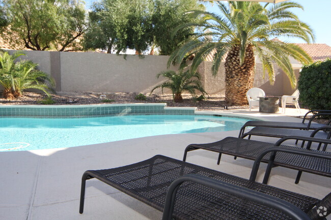
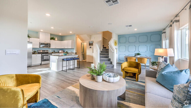
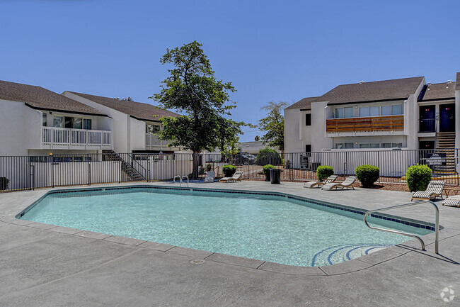
You May Also Like
Similar Rentals Nearby


What Are Walk Score®, Transit Score®, and Bike Score® Ratings?
Walk Score® measures the walkability of any address. Transit Score® measures access to public transit. Bike Score® measures the bikeability of any address.
What is a Sound Score Rating?
A Sound Score Rating aggregates noise caused by vehicle traffic, airplane traffic and local sources
6433 Deadwood Rd
Las Vegas, NV 89108