
Holden House
1554 Midway Pky,
Saint Paul, MN 55108
$1,375 - $2,690 Plus Fees
Studio - 3 Beds 12 Month Lease
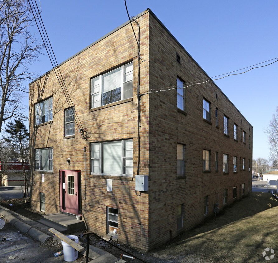
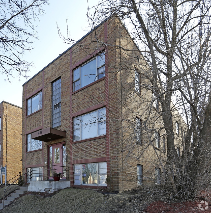
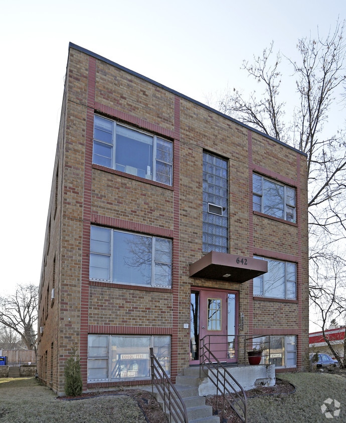
Find your new home at 638 Snelling Ave S. This property is situated at 638 Snelling Ave S. in St. Paul. The professional leasing staff is ready for your visit. Experience a new standard at 638 Snelling Ave S.
638 Snelling Ave S is an apartment community located in Ramsey County and the 55116 ZIP Code. This area is served by the St. Paul Public attendance zone.
The Highland community lies in the southwestern corner of Saint Paul, just 10 miles from Downtown Minneapolis. Highland is to the north of Fort Snelling, adjacent to the Mississippi River.
A 50/50 blend of commercial and residential buildings, Highland residents enjoy plentiful shopping and restaurants near their apartments. Saint Catherine University resides here, and it’s in walking distance of local eateries at the corner of Cleveland Avenue South and Ford Parkway.
A predominantly residential neighborhood, there are tons of outdoor activities to do, like improving your game at the Highland National Golf Course or picnicking at Crosby Farm Park. For easy travel, residents are comforted by their proximity to Interstate 35E and the international airport. The amusement park and aquarium at Mall of America are a short 10-minute drive from Highland.
Learn more about living in Highland| Colleges & Universities | Distance | ||
|---|---|---|---|
| Colleges & Universities | Distance | ||
| Walk: | 19 min | 1.0 mi | |
| Drive: | 2 min | 1.1 mi | |
| Drive: | 5 min | 2.3 mi | |
| Drive: | 6 min | 2.6 mi |


Transportation options available in Saint Paul include Snelling Ave Station, located 2.4 miles from 638 Snelling Ave S. 638 Snelling Ave S is near Minneapolis-St Paul International/Wold-Chamberlain, located 5.4 miles or 11 minutes away.
| Transit / Subway | Distance | ||
|---|---|---|---|
| Transit / Subway | Distance | ||
| Drive: | 5 min | 2.4 mi | |
| Drive: | 5 min | 2.8 mi | |
| Drive: | 6 min | 2.9 mi | |
|
|
Drive: | 9 min | 3.7 mi |
|
|
Drive: | 9 min | 4.2 mi |
| Commuter Rail | Distance | ||
|---|---|---|---|
| Commuter Rail | Distance | ||
|
|
Drive: | 11 min | 6.4 mi |
|
|
Drive: | 17 min | 8.6 mi |
|
|
Drive: | 26 min | 17.2 mi |
|
|
Drive: | 35 min | 26.0 mi |
|
|
Drive: | 37 min | 27.6 mi |
| Airports | Distance | ||
|---|---|---|---|
| Airports | Distance | ||
|
Minneapolis-St Paul International/Wold-Chamberlain
|
Drive: | 11 min | 5.4 mi |
Time and distance from 638 Snelling Ave S.
| Shopping Centers | Distance | ||
|---|---|---|---|
| Shopping Centers | Distance | ||
| Drive: | 2 min | 1.2 mi | |
| Drive: | 4 min | 1.5 mi | |
| Drive: | 4 min | 1.5 mi |
| Parks and Recreation | Distance | ||
|---|---|---|---|
| Parks and Recreation | Distance | ||
|
Macalester College Observatory
|
Drive: | 2 min | 1.1 mi |
|
Highland Park and Golf Course
|
Drive: | 3 min | 1.6 mi |
|
Crosby Farm Regional Park
|
Drive: | 6 min | 2.6 mi |
|
Hidden Falls Park
|
Drive: | 8 min | 2.7 mi |
|
Hiawatha School Park
|
Drive: | 9 min | 3.2 mi |
| Hospitals | Distance | ||
|---|---|---|---|
| Hospitals | Distance | ||
| Drive: | 7 min | 3.6 mi | |
| Drive: | 9 min | 4.3 mi | |
| Drive: | 10 min | 4.8 mi |
| Military Bases | Distance | ||
|---|---|---|---|
| Military Bases | Distance | ||
| Drive: | 10 min | 4.1 mi |
Pets Allowed Fitness Center Pool In Unit Washer & Dryer Walk-In Closets High-Speed Internet Controlled Access
Pets Allowed Fitness Center Pool Dishwasher Refrigerator Clubhouse Maintenance on site
What Are Walk Score®, Transit Score®, and Bike Score® Ratings?
Walk Score® measures the walkability of any address. Transit Score® measures access to public transit. Bike Score® measures the bikeability of any address.
What is a Sound Score Rating?
A Sound Score Rating aggregates noise caused by vehicle traffic, airplane traffic and local sources


