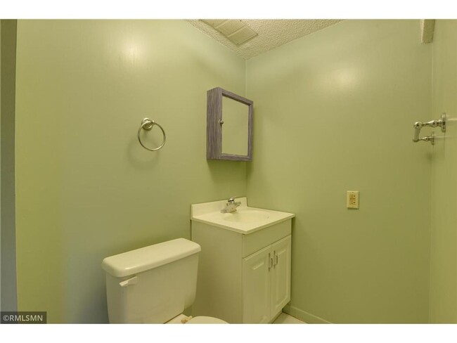
$825 / Month
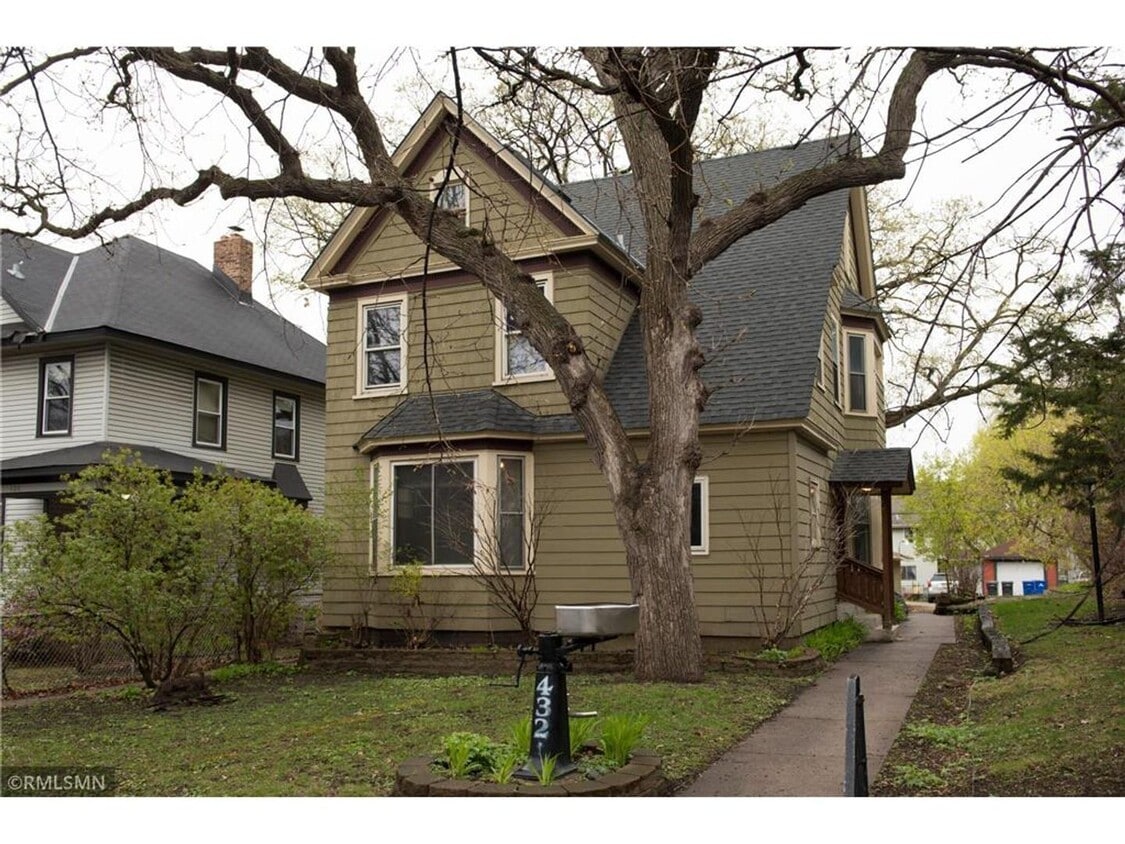
432 N Dewey St Unit #4
Saint Paul, MN 55104
Today
Favorites
-
Bedrooms
Studio
-
Bathrooms
1
-
Square Feet
--
432 N Dewey St Unit #4

Favorites
Location
Get Directions
Along the shore of the Mississippi River, Merriam Park West offers riverfront parks, a large golf course, and quaint local restaurants just minutes from downtown Saint Paul, Minnesota. Stop on in at Izzy’s Ice Cream Café, or grab a treat at Black Coffee and Waffle Bar. Local businesses thrive alongside riverfront community spaces like Shadow Falls Park, a picturesque nature preserve.
The University of Saint Thomas resides on the south end of town, and the neighborhood offers a blend of private and public schools, churches, and every day conveniences. Situated just five miles southeast of Minneapolis and seven miles northeast of the Minneapolis-Saint Paul International Airport, this neighborhood is in a premier location for commuting, shopping, dining, and entertainment.
Learn more about living in Merriam Park West
Education
| Colleges & Universities | Distance | ||
|---|---|---|---|
| Colleges & Universities | Distance | ||
| Drive: | 3 min | 1.6 mi | |
| Drive: | 4 min | 1.8 mi | |
| Drive: | 3 min | 1.8 mi | |
| Drive: | 6 min | 1.9 mi |
432 N Dewey St Unit #4 is within 3 minutes or 1.6 miles from Concordia Univ.-Saint Paul. It is also near Hamline University and Univ. of St Thomas, St. Paul.
Transportation options available in Saint Paul include Fairview Ave Station, located 0.3 mile from 432 N Dewey St Unit #4. 432 N Dewey St Unit #4 is near Minneapolis-St Paul International/Wold-Chamberlain, located 7.6 miles or 16 minutes away.
| Transit / Subway | Distance | ||
|---|---|---|---|
| Transit / Subway | Distance | ||
| Walk: | 4 min | 0.3 mi | |
| Walk: | 12 min | 0.6 mi | |
| Drive: | 3 min | 1.3 mi | |
| Drive: | 4 min | 1.5 mi | |
| Drive: | 4 min | 1.8 mi |
| Commuter Rail | Distance | ||
|---|---|---|---|
| Commuter Rail | Distance | ||
|
|
Drive: | 10 min | 5.7 mi |
|
|
Drive: | 14 min | 6.3 mi |
|
|
Drive: | 23 min | 14.9 mi |
|
|
Drive: | 32 min | 23.3 mi |
|
|
Drive: | 34 min | 24.9 mi |
| Airports | Distance | ||
|---|---|---|---|
| Airports | Distance | ||
|
Minneapolis-St Paul International/Wold-Chamberlain
|
Drive: | 16 min | 7.6 mi |
Time and distance from 432 N Dewey St Unit #4.
| Shopping Centers | Distance | ||
|---|---|---|---|
| Shopping Centers | Distance | ||
| Drive: | 3 min | 1.2 mi | |
| Drive: | 4 min | 1.4 mi | |
| Drive: | 3 min | 1.8 mi |
432 N Dewey St Unit #4 has 3 shopping centers within 1.8 miles, which is about a 3-minute drive. The miles and minutes will be for the farthest away property.
| Parks and Recreation | Distance | ||
|---|---|---|---|
| Parks and Recreation | Distance | ||
|
Newell Park
|
Walk: | 19 min | 1.0 mi |
|
Macalester College Observatory
|
Drive: | 3 min | 1.9 mi |
|
Tower Hill Park
|
Drive: | 6 min | 2.3 mi |
|
Brackett Park
|
Drive: | 7 min | 2.9 mi |
|
The Raptor Center - University of Minnesota
|
Drive: | 9 min | 3.3 mi |
432 N Dewey St Unit #4 has 5 parks within 3.3 miles, including Newell Park, Macalester College Observatory, and Tower Hill Park.
| Hospitals | Distance | ||
|---|---|---|---|
| Hospitals | Distance | ||
| Drive: | 7 min | 3.6 mi | |
| Drive: | 9 min | 4.4 mi | |
| Drive: | 8 min | 4.6 mi |
432 N Dewey St Unit #4 has 3 hospitals within 4.6 miles, the nearest is University of Minnesota Medical Center, Fairview which is 3.6 miles away and a 7 minute drive.
| Military Bases | Distance | ||
|---|---|---|---|
| Military Bases | Distance | ||
| Drive: | 15 min | 6.3 mi |
432 N Dewey St Unit #4 is 6.3 miles and a 15 minute drive from Fort Snelling Military Reservation.
You May Also Like
Similar Rentals Nearby


What Are Walk Score®, Transit Score®, and Bike Score® Ratings?
Walk Score® measures the walkability of any address. Transit Score® measures access to public transit. Bike Score® measures the bikeability of any address.
What is a Sound Score Rating?
A Sound Score Rating aggregates noise caused by vehicle traffic, airplane traffic and local sources

432 N Dewey St
Saint Paul, MN 55104