

3 Beds
$2,849
Total Monthly Price
12 Month Lease
Total Monthly Price
New
Prices include base rent and required monthly fees. Variable costs based on usage may apply.
1 Month Free
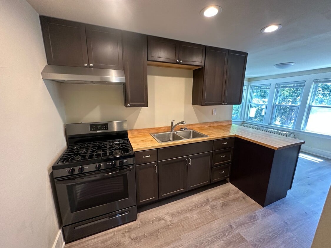
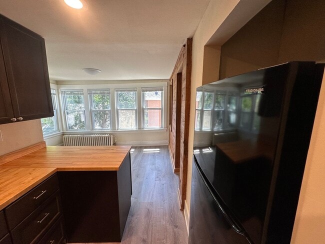
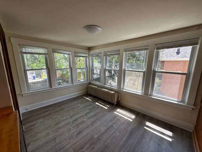
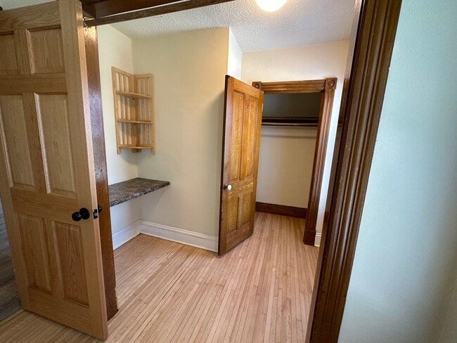
Pets Allowed Fitness Center Pool Dishwasher In Unit Washer & Dryer Walk-In Closets Stainless Steel Appliances