
$1,624
Total Monthly Price
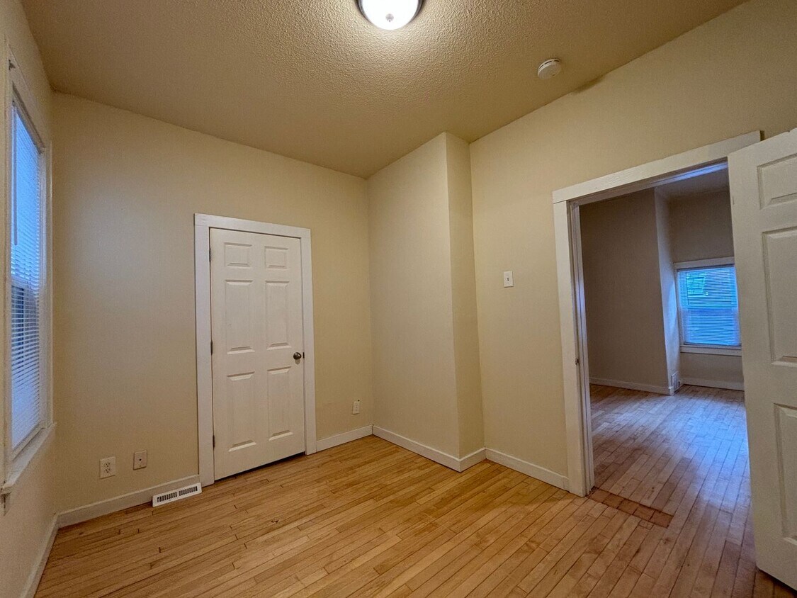
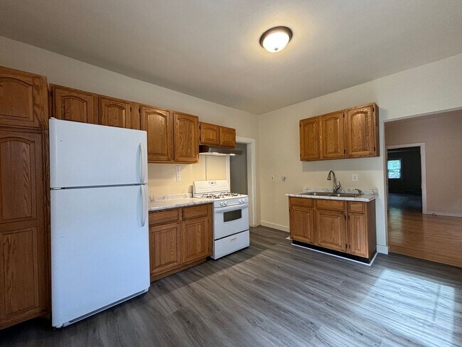
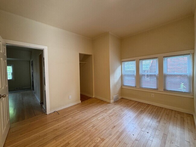
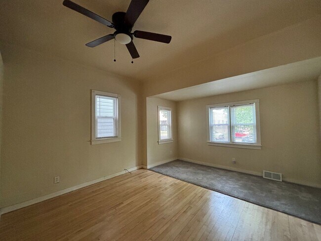
385 Toronto St Unit 1
Saint Paul, MN 55102
Today
|
Edit
Favorites
952-452-9254
-
Bedrooms
1
-
Bathrooms
1
-
Square Feet
900 sq ft
-
Available
Available Now
385 Toronto St Unit 1

Favorites
Often referred to as the “West End,” West Seventh is a convenient neighborhood located on the Riverview Corridor transit system, making travel to Downtown Saint Paul, the Minneapolis-Saint Paul Airport, and the Mall of America simple for locals.
Residents of West Seventh enjoy direct access to Interstate 35E and Xcel Energy Center. There are a plethora of amenities and attractions along the Mississippi River – from parks to historic landmarks and the High Bridge Dog Park.
Many of West Seventh’s restaurants are found along 7th Street West, like Bad Weather Brewing Company, Cossetta’s, and JR Mac’s Bar & Grill. Residents adore the proximity to the airport, and Saint Paul attractions and shopping.
Learn more about living in West Seventh
Education
| Colleges & Universities | Distance | ||
|---|---|---|---|
| Colleges & Universities | Distance | ||
| Drive: | 6 min | 2.4 mi | |
| Drive: | 6 min | 2.6 mi | |
| Drive: | 6 min | 2.7 mi | |
| Drive: | 9 min | 3.2 mi |
385 Toronto St Unit 1 is within 6 minutes or 2.4 miles from Saint Paul College. It is also near Macalester College and Concordia Univ.-Saint Paul.
Transportation options available in Saint Paul include 10Th St Station, located 2.4 miles from 385 Toronto St Unit 1. 385 Toronto St Unit 1 is near Minneapolis-St Paul International/Wold-Chamberlain, located 7.5 miles or 13 minutes away.
| Transit / Subway | Distance | ||
|---|---|---|---|
| Transit / Subway | Distance | ||
| Drive: | 5 min | 2.4 mi | |
| Drive: | 7 min | 2.7 mi | |
| Drive: | 6 min | 2.8 mi | |
| Drive: | 7 min | 2.9 mi | |
| Drive: | 6 min | 3.1 mi |
| Commuter Rail | Distance | ||
|---|---|---|---|
| Commuter Rail | Distance | ||
|
|
Drive: | 5 min | 3.1 mi |
|
|
Drive: | 20 min | 9.7 mi |
|
|
Drive: | 26 min | 19.0 mi |
|
|
Drive: | 36 min | 27.1 mi |
|
|
Drive: | 38 min | 28.8 mi |
| Airports | Distance | ||
|---|---|---|---|
| Airports | Distance | ||
|
Minneapolis-St Paul International/Wold-Chamberlain
|
Drive: | 13 min | 7.5 mi |
Time and distance from 385 Toronto St Unit 1.
| Shopping Centers | Distance | ||
|---|---|---|---|
| Shopping Centers | Distance | ||
| Drive: | 4 min | 1.4 mi | |
| Drive: | 4 min | 1.4 mi | |
| Drive: | 4 min | 1.4 mi |
385 Toronto St Unit 1 has 3 shopping centers within 1.4 miles, which is about a 4-minute drive. The miles and minutes will be for the farthest away property.
| Parks and Recreation | Distance | ||
|---|---|---|---|
| Parks and Recreation | Distance | ||
|
Irvine Park
|
Drive: | 4 min | 1.5 mi |
|
Highland Park and Golf Course
|
Drive: | 4 min | 1.8 mi |
|
Science Museum of Minnesota
|
Drive: | 4 min | 2.1 mi |
|
Mississippi National River & Recreation Area
|
Drive: | 4 min | 2.3 mi |
|
Cherokee Regional Park
|
Drive: | 6 min | 2.3 mi |
385 Toronto St Unit 1 has 5 parks within 2.3 miles, including Irvine Park, Science Museum of Minnesota, and Mississippi National River & Recreation Area.
| Hospitals | Distance | ||
|---|---|---|---|
| Hospitals | Distance | ||
| Drive: | 3 min | 1.3 mi | |
| Drive: | 5 min | 2.3 mi | |
| Drive: | 6 min | 2.8 mi |
385 Toronto St Unit 1 has 3 hospitals within 2.8 miles, the nearest is Allina United Hospital which is 1.3 miles away and a 3 minute drive.
| Military Bases | Distance | ||
|---|---|---|---|
| Military Bases | Distance | ||
| Drive: | 12 min | 6.3 mi |
385 Toronto St Unit 1 is 6.3 miles and a 12 minute drive from Fort Snelling Military Reservation.
You May Also Like
-
Cedar Hills
11050 Cedar Hills Blvd
Minnetonka, MN 55305
$1,325 - $1,800 Plus Fees
1-3 Br 12 Month Lease 14.4 mi
-
Bristol Village
7301 Bristol Village Dr
Bloomington, MN 55438
$1,833 - $1,958 Total Monthly Price
1-2 Br 14.7 mi
-
Lake Place Luxury Apartments & Townhomes
11445-11447 Anderson Lakes Pky
Eden Prairie, MN 55344
$1,880 Plus Fees
2 Br 15.7 mi
Similar Rentals Nearby
-
-
-
1 Bed$1,839+2 Beds$2,739+Total Monthly PriceTotal Monthly Price NewPrices include required monthly fees of $4.Base Rent:1 Bed$1,835+2 Beds$2,735+2 Months Free
Pets Allowed Fitness Center Pool Dishwasher Refrigerator Clubhouse Maintenance on site
-
1 Bed$1,698+2 Beds$2,198+Total Monthly PriceTotal Monthly Price NewPrices include required monthly fees of $50.Base Rent:1 Bed$1,648+2 Beds$2,148+1 Month Free
Pets Allowed Fitness Center Pool In Unit Washer & Dryer Walk-In Closets High-Speed Internet Controlled Access
-
-
-
-
-
-
1 Bed$1,360+2 Beds$1,620+Total Monthly PriceTotal Monthly Price NewPrices include all required monthly fees.1 Month Free
Pets Allowed Fitness Center Pool Dishwasher Refrigerator Kitchen


What Are Walk Score®, Transit Score®, and Bike Score® Ratings?
Walk Score® measures the walkability of any address. Transit Score® measures access to public transit. Bike Score® measures the bikeability of any address.
What is a Sound Score Rating?
A Sound Score Rating aggregates noise caused by vehicle traffic, airplane traffic and local sources

385 Toronto St
Saint Paul, MN 55102