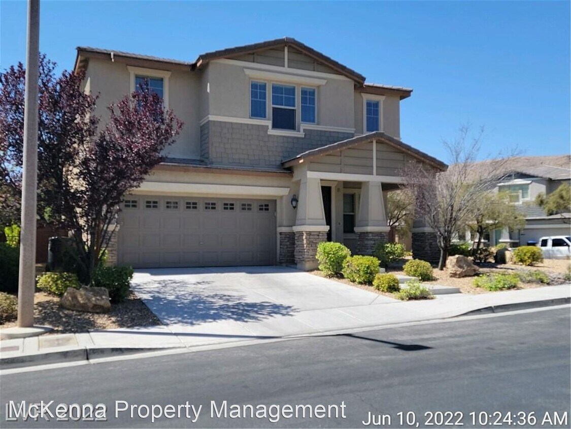


4 Beds
$2,001+
Total Monthly Price
Total Monthly Price
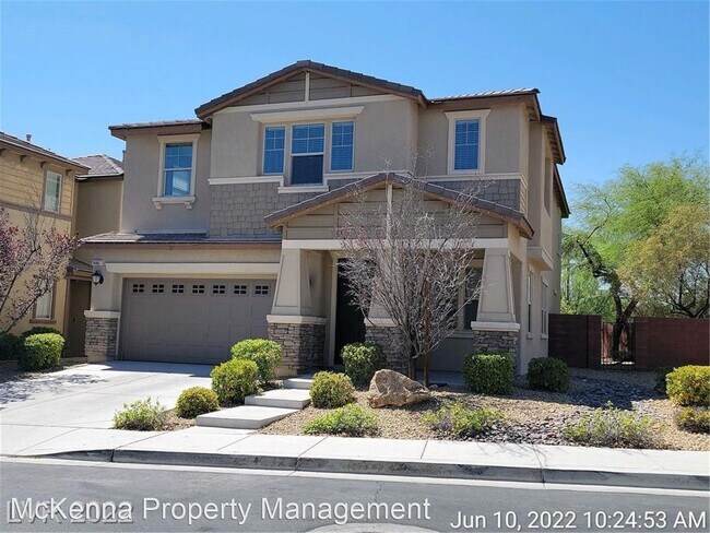
New
Prices include required monthly fees of $100.
Base Rent:
4 Beds
$1,901+
Discounts
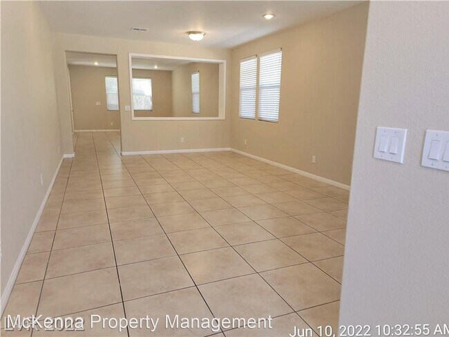
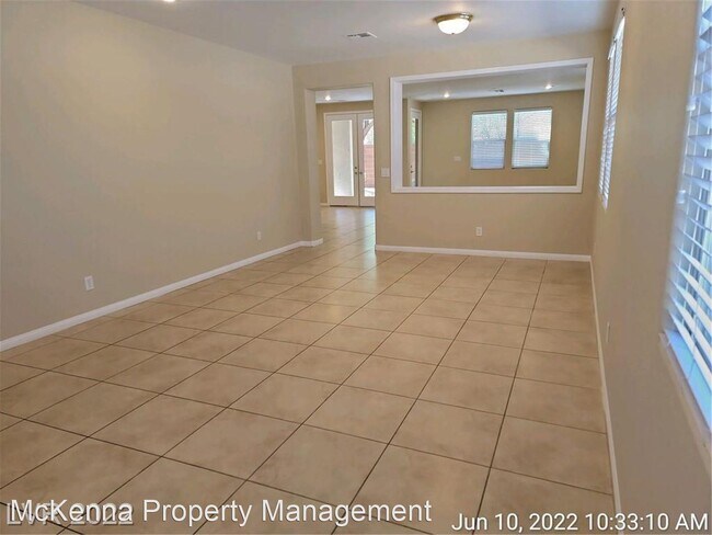
In Unit Washer & Dryer Ceiling Fans Gated


