


1 Bed
$3,046+
1 Month Free
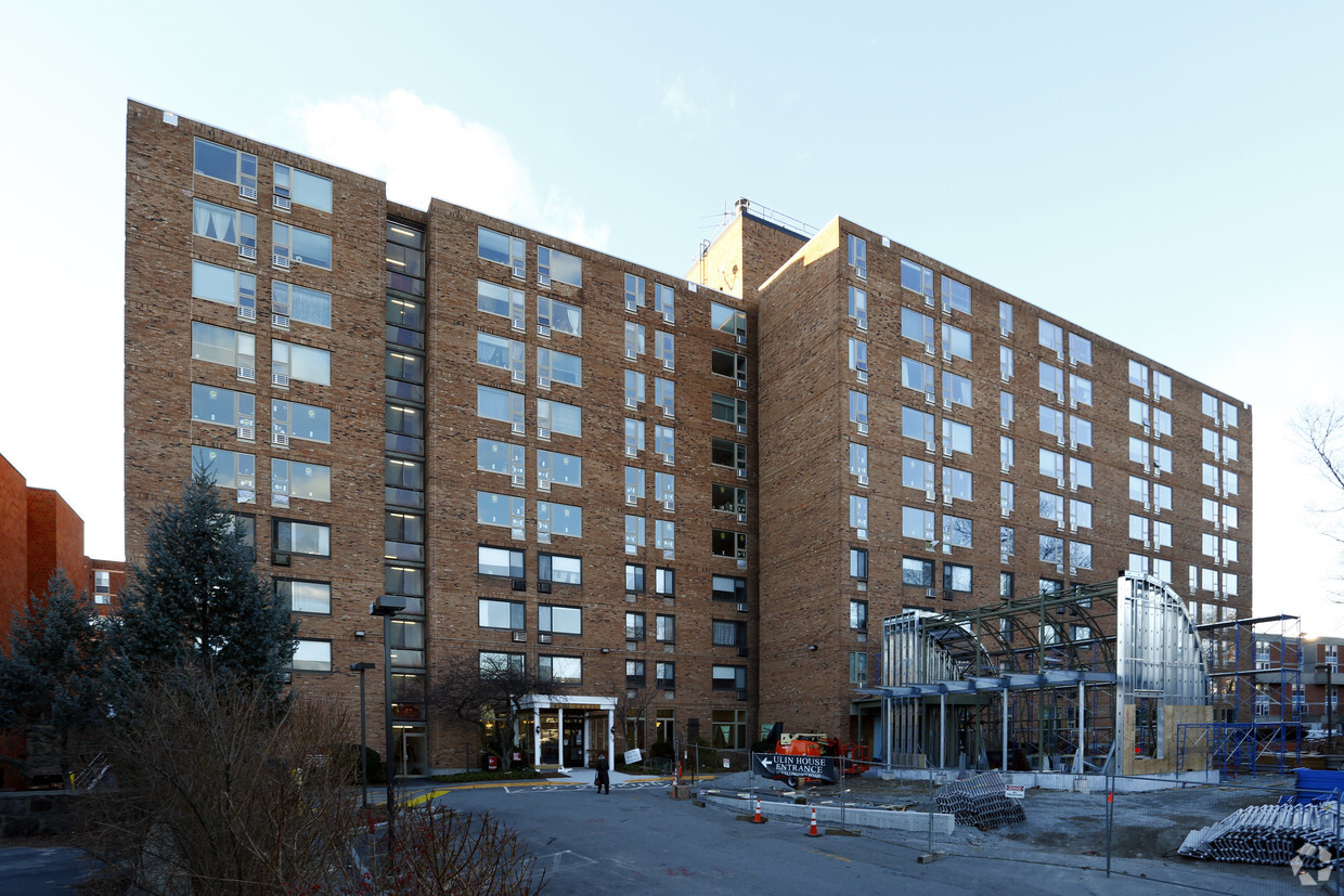
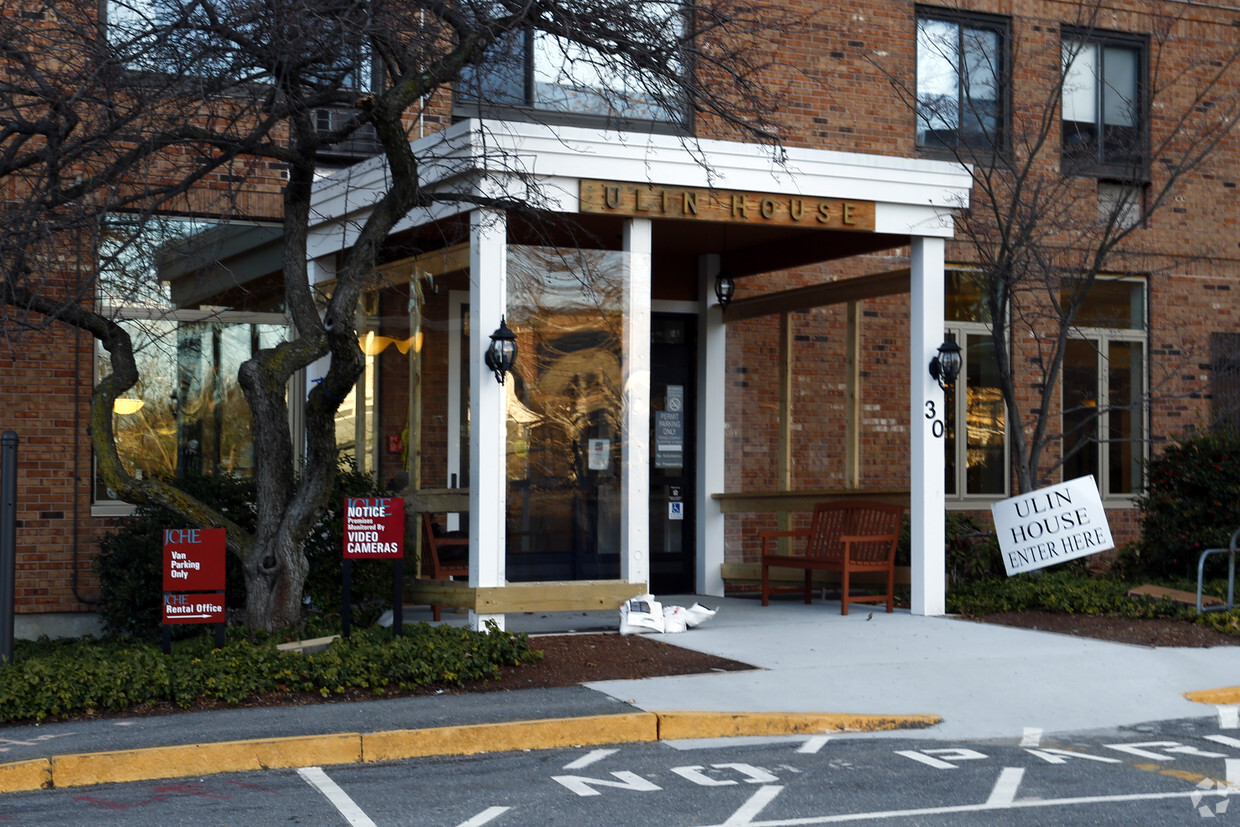
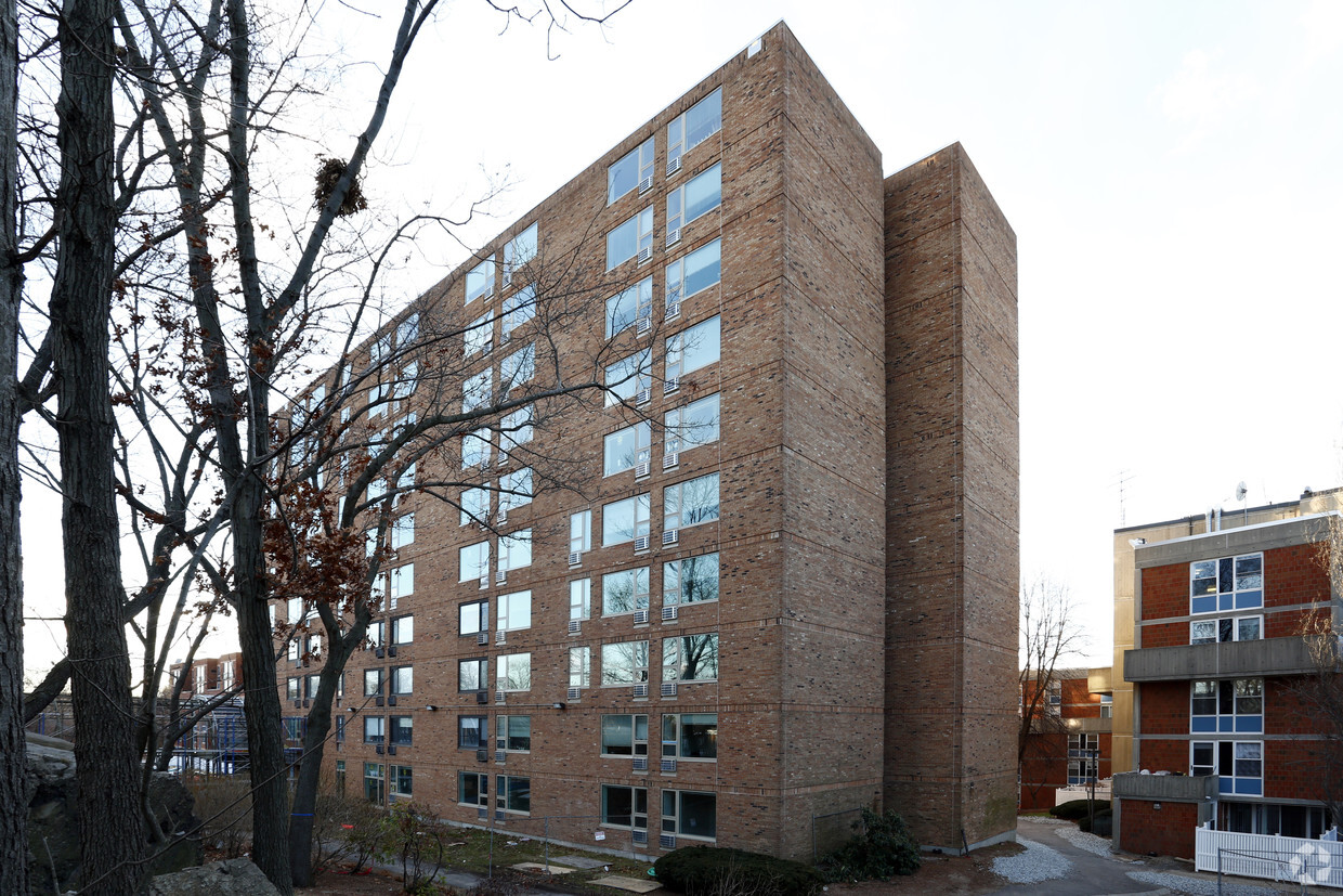
Pets Allowed Maintenance on site Heat Controlled Access Elevator Laundry Facilities