
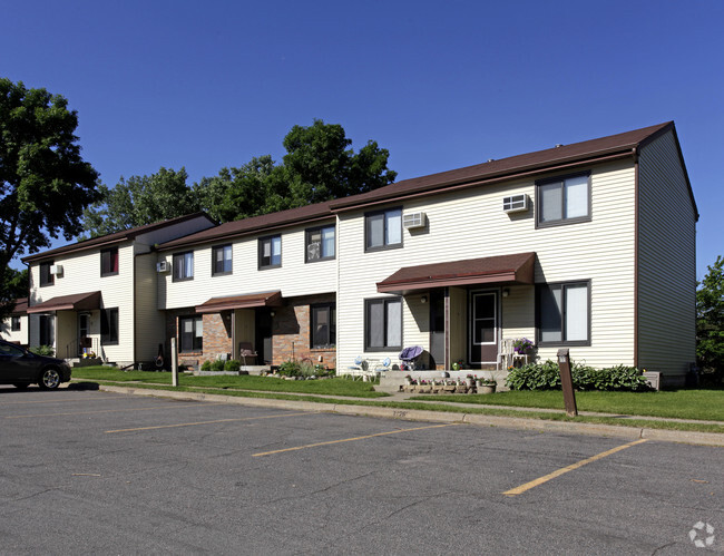
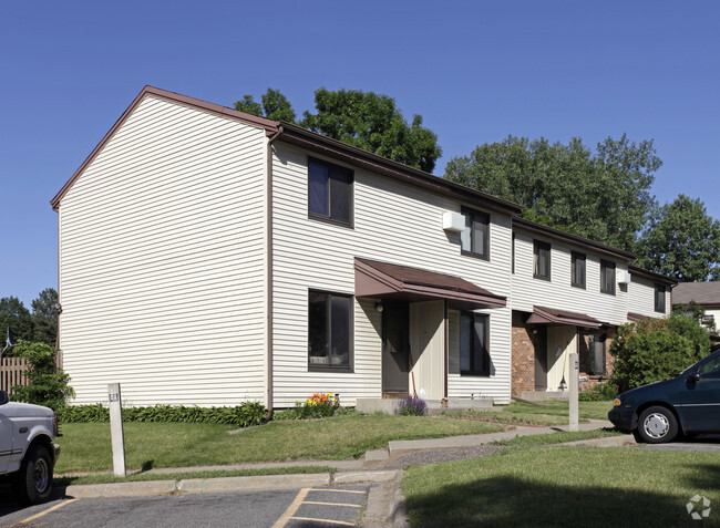
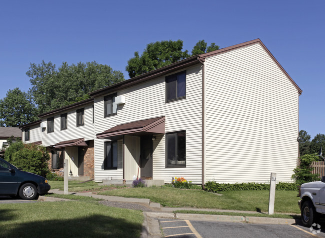
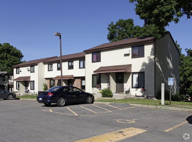
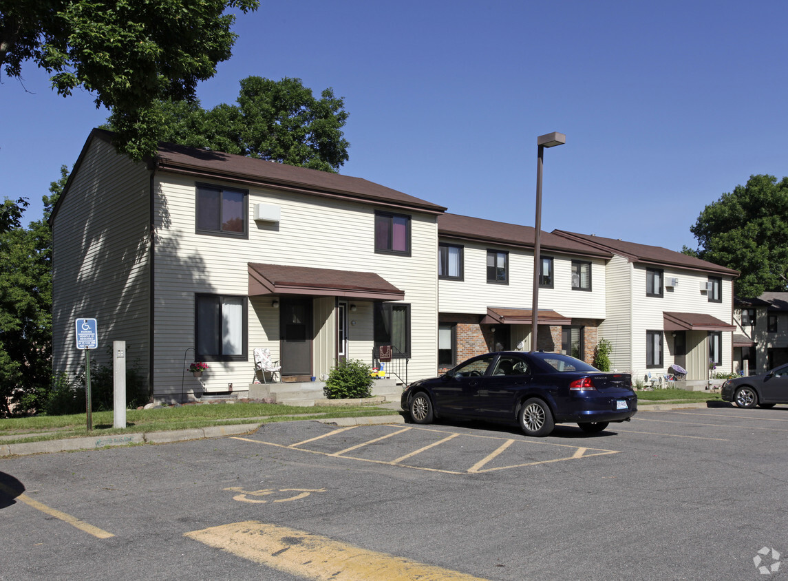
Rolling Meadows Cooperative
3465-3475 78th St E,
Inver Grove Heights,
MN
55076
2 Weeks Ago
Favorites
Rolling Meadows Cooperative
Favorites
Check Back Soon for Upcoming Availability
| Beds | Baths | Average SF | Availability |
|---|---|---|---|
| Studio Studio 0 Br | 1 Bath 1 Bath 1 Ba | — | Not Available |
Fees and Policies
The fees below are based on community-supplied data and may exclude additional fees and utilities.
- Parking
-
Surface LotParking Available--
Details
Property Information
-
Built in 1972
-
202 units/2 stories
About Rolling Meadows Cooperative
At Rolling Meadows Cooperative, find a great place to live. The address for this community is in the 55076 area of Inver Grove Heights. Make sure you to see the available floorplan options. The knowledgeable leasing staff is waiting to show you all that this community has to offer. At Rolling Meadows Cooperative you're home. Stop by the community today.
Rolling Meadows Cooperative is an apartment community located in Dakota County and the 55076 ZIP Code. This area is served by the Inver Grove Heights Schools attendance zone.
Community Amenities
Playground
Clubhouse
Property Manager on Site
Planned Social Activities
- Property Manager on Site
- Planned Social Activities
- Clubhouse
- Playground
Apartment Features
Air Conditioning
High Speed Internet Access
Hardwood Floors
Yard
- High Speed Internet Access
- Air Conditioning
- Smoke Free
- Cable Ready
- Kitchen
- Hardwood Floors
- Yard
Location
Get Directions
Just off the eastern bank of the Mississippi River, Inver Grove Heights, Minnesota has all the natural beauty expected from the state known for its grassy rolling plains. South of the Twin Cities, Inver Grove Heights is a suburb of Saint Paul. This residential city provides easy access to the surrounding areas thanks to the highway that runs through the city, Highway 52.
Residents of this quiet town enjoy several events and volunteer opportunities that keeps people of Inver Grove Heights connected. There are also many local parks and a community center that provides the community with a variety of recreation opportunities and programs. The new development within the area makes Inver Grove a city with a pleasant mix of both old and new.
Learn more about living in Inver Grove Heights
Amenities
- Property Manager on Site
- Planned Social Activities
- Clubhouse
- Playground
- High Speed Internet Access
- Air Conditioning
- Smoke Free
- Cable Ready
- Kitchen
- Hardwood Floors
- Yard
Education
| Colleges & Universities | Distance | ||
|---|---|---|---|
| Colleges & Universities | Distance | ||
| Drive: | 5 min | 1.5 mi | |
| Drive: | 15 min | 8.5 mi | |
| Drive: | 17 min | 10.6 mi | |
| Drive: | 18 min | 11.1 mi |
Rolling Meadows Cooperative is within 5 minutes or 1.5 miles from Inver Hills Community College. It is also near Argosy University, Twin Cities and Saint Paul College.
Schools


Public Elementary School
Grades PK-5
655 Students
Nearby
Public Elementary, Middle & High School
Grades K-12
Nearby
Public Elementary School
Grades PK-5
535 Students
Attendance Zone
Public Elementary School
Grades PK-5
574 Students
Attendance Zone
Public Middle School
Grades 6-8
761 Students
Attendance Zone
Public High School
Grades 9-12
1,062 Students
Attendance Zone
Private Elementary School
Grades PK-6
24 Students
Nearby
Private Elementary, Middle & High School
Grades PK-12
40 Students
Nearby
School data provided by
 The GreatSchools Rating helps parents compare schools within a state based on a variety of school quality indicators and provides a helpful picture of how effectively each school serves all of its students. Ratings are on a scale of 1 (below average) to 10 (above average) and can include test scores, college readiness, academic progress, advanced courses, equity, discipline and attendance data. We also advise parents to visit schools, consider other information on school performance and programs, and consider family needs as part of the school selection process.
View GreatSchools Rating Methodology
Data provided by GreatSchools.org © 2025. All rights reserved.
View GreatSchools Rating Methodology
Data provided by GreatSchools.org © 2025. All rights reserved.
Transportation options available in Inver Grove Heights include Central Station, located 9.9 miles from Rolling Meadows Cooperative. Rolling Meadows Cooperative is near Minneapolis-St Paul International/Wold-Chamberlain, located 12.8 miles or 22 minutes away.
| Transit / Subway | Distance | ||
|---|---|---|---|
| Transit / Subway | Distance | ||
| Drive: | 16 min | 9.9 mi | |
| Drive: | 16 min | 9.9 mi | |
| Drive: | 16 min | 10.1 mi | |
| Drive: | 17 min | 10.4 mi | |
| Drive: | 17 min | 10.5 mi |
| Commuter Rail | Distance | ||
|---|---|---|---|
| Commuter Rail | Distance | ||
|
|
Drive: | 16 min | 10.2 mi |
|
|
Drive: | 34 min | 18.2 mi |
|
|
Drive: | 37 min | 26.7 mi |
|
|
Drive: | 47 min | 34.8 mi |
|
|
Drive: | 48 min | 36.5 mi |
| Airports | Distance | ||
|---|---|---|---|
| Airports | Distance | ||
|
Minneapolis-St Paul International/Wold-Chamberlain
|
Drive: | 22 min | 12.8 mi |
Time and distance from Rolling Meadows Cooperative.
| Shopping Centers | Distance | ||
|---|---|---|---|
| Shopping Centers | Distance | ||
| Walk: | 4 min | 0.2 mi | |
| Walk: | 9 min | 0.5 mi | |
| Drive: | 4 min | 1.6 mi |
Rolling Meadows Cooperative has 3 shopping centers within 1.6 miles, which is about a 4-minute walk. The miles and minutes will be for the farthest away property.
| Parks and Recreation | Distance | ||
|---|---|---|---|
| Parks and Recreation | Distance | ||
|
Dodge Nature Center
|
Drive: | 13 min | 7.2 mi |
|
Spring Lake Reserve
|
Drive: | 17 min | 9.5 mi |
|
Cherokee Regional Park
|
Drive: | 18 min | 10.1 mi |
|
Crosby Farm Regional Park
|
Drive: | 18 min | 11.2 mi |
|
Fort Snelling State Park
|
Drive: | 23 min | 13.1 mi |
Rolling Meadows Cooperative has 5 parks within 13.1 miles, including Dodge Nature Center, Cherokee Regional Park, and Spring Lake Reserve.
| Hospitals | Distance | ||
|---|---|---|---|
| Hospitals | Distance | ||
| Drive: | 17 min | 10.5 mi | |
| Drive: | 17 min | 10.8 mi | |
| Drive: | 18 min | 10.9 mi |
Rolling Meadows Cooperative has 3 hospitals within 10.9 miles, the nearest is St. Joseph's Hospital which is 10.5 miles away and a 17 minute drive.
| Military Bases | Distance | ||
|---|---|---|---|
| Military Bases | Distance | ||
| Drive: | 20 min | 11.6 mi |
Rolling Meadows Cooperative is 11.6 miles and a 20 minute drive from Fort Snelling Military Reservation.
You May Also Like
Similar Rentals Nearby


What Are Walk Score®, Transit Score®, and Bike Score® Ratings?
Walk Score® measures the walkability of any address. Transit Score® measures access to public transit. Bike Score® measures the bikeability of any address.
What is a Sound Score Rating?
A Sound Score Rating aggregates noise caused by vehicle traffic, airplane traffic and local sources
3465-3475 78th St E
Inver Grove Heights, MN 55076
Responded To This Review