Forte at 1440 Beacon
1440 Beacon St,
Brookline, MA 02446
$2,785 - $3,818 Plus Fees
Studio - 1 Bed 12 Month Lease
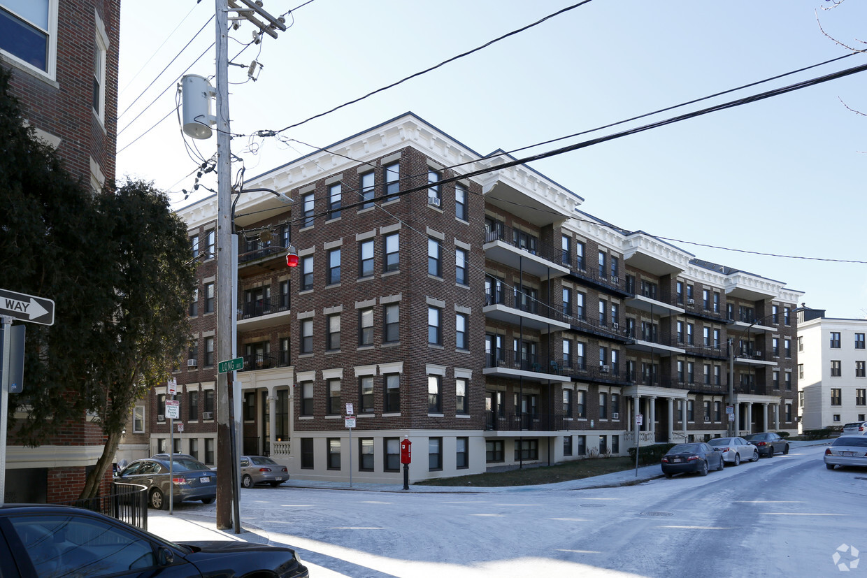
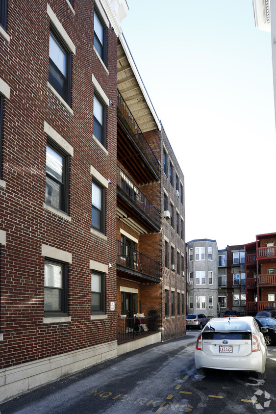
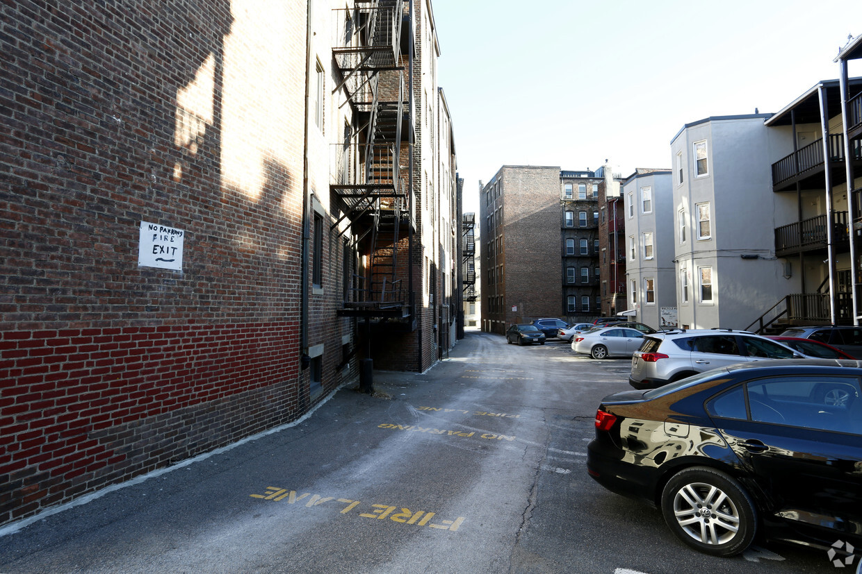
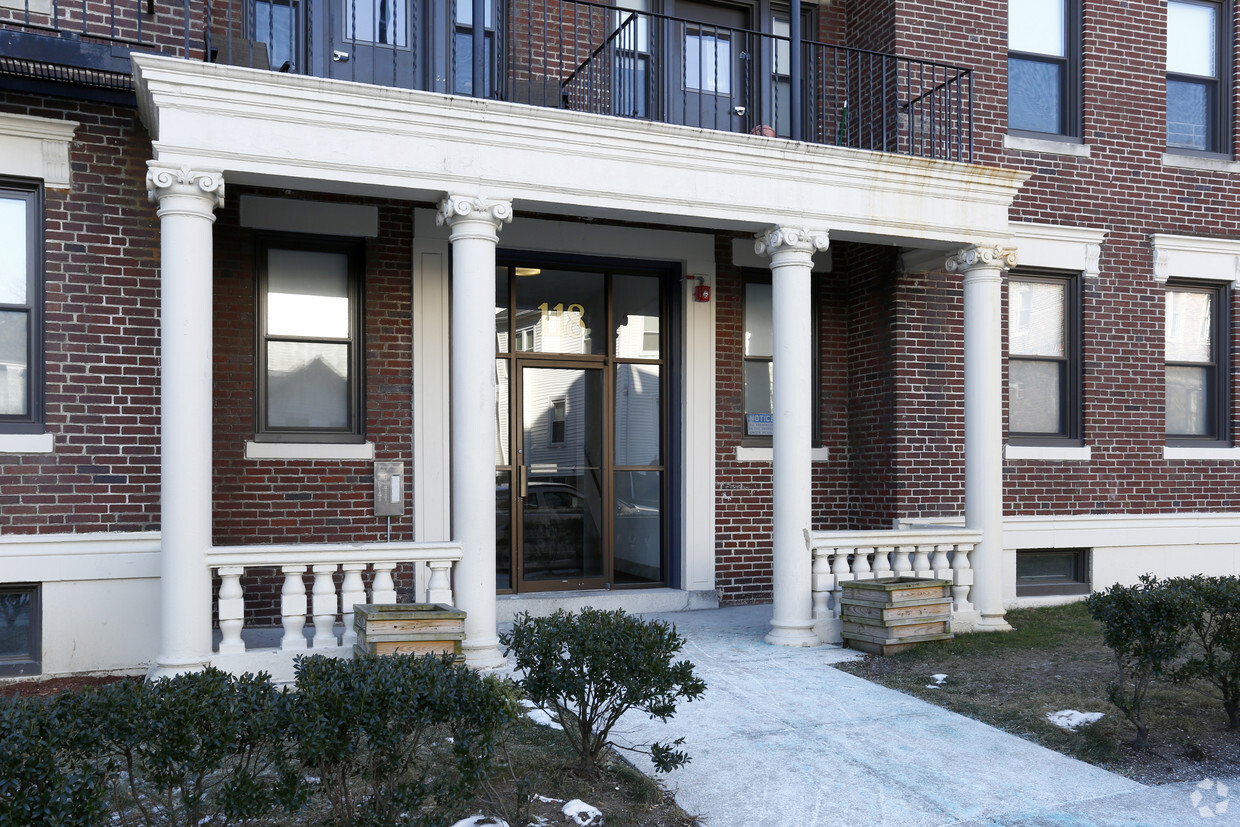
Thanks for your interest in Ray Dooley Apartments in Allston, MA. You'll find this community in the Commonwealth area of Allston. Let the professional leasing staff show you everything this community has to offer. Compare studio to 3 bedroom apartments and then come by for a tour. It's time to come home to Ray Dooley Apartments. Contact us or stop by the leasing office to discuss your new apartment.
Ray Dooley Apartments is an apartment community located in Suffolk County and the 02134 ZIP Code. This area is served by the Boston Public Schools attendance zone.
Aire acondicionado
Nevera
Bañera/Ducha
Calefacción
Situated about five miles west of Downtown Boston, Commonwealth boasts a vibrant atmosphere with charming brick buildings, local shops, delectable restaurants, numerous entertainment options, lush parks and playgrounds, and a diverse population. Commonwealth is convenient to several renowned attractions, including the John Fitzgerald Kennedy National Historic Site, Coolidge Corner Theatre, Brookline Booksmith, and Brighton Music Hall.
Commonwealth residents also enjoy quick access to Boston College, making the area especially popular among the institution’s students, faculty, and staff. A host of T stops strewn along Commonwealth Avenue provide easy commutes and travels to Greater Boston as well as convenience to an array of metropolitan amenities.
Learn more about living in CommonwealthCompare neighborhood and city base rent averages by bedroom.
| Commonwealth | Allston, MA | |
|---|---|---|
| Studio | $2,026 | $2,443 |
| 1 Bedroom | $2,498 | $2,897 |
| 2 Bedrooms | $2,725 | $3,586 |
| 3 Bedrooms | $3,125 | $4,091 |
| Colleges & Universities | Distance | ||
|---|---|---|---|
| Colleges & Universities | Distance | ||
| Drive: | 4 min | 1.7 mi | |
| Drive: | 5 min | 2.2 mi | |
| Drive: | 6 min | 2.6 mi | |
| Drive: | 6 min | 2.7 mi |

Transportation options available in Allston include Griggs Street/Long Avenue Station, located 0.1 mile from Ray Dooley Apartments. Ray Dooley Apartments is near General Edward Lawrence Logan International, located 8.6 miles or 15 minutes away.
| Transit / Subway | Distance | ||
|---|---|---|---|
| Transit / Subway | Distance | ||
|
|
Walk: | 1 min | 0.1 mi |
|
|
Walk: | 2 min | 0.1 mi |
|
|
Walk: | 5 min | 0.3 mi |
|
|
Walk: | 5 min | 0.3 mi |
|
|
Walk: | 12 min | 0.6 mi |
| Commuter Rail | Distance | ||
|---|---|---|---|
| Commuter Rail | Distance | ||
|
|
Drive: | 5 min | 2.7 mi |
|
|
Drive: | 8 min | 3.4 mi |
|
|
Drive: | 8 min | 3.7 mi |
|
|
Drive: | 11 min | 4.5 mi |
| Drive: | 9 min | 4.8 mi |
| Airports | Distance | ||
|---|---|---|---|
| Airports | Distance | ||
|
General Edward Lawrence Logan International
|
Drive: | 15 min | 8.6 mi |
Scores provided by
Traffic
-Airport
-Businesses
-Scores provided by
HowLoud What is a Sound Score Rating? A Sound Score Rating aggregates noise caused by vehicle traffic, airplane traffic and local sources. How It WorksTime and distance from Ray Dooley Apartments.
| Shopping Centers | Distance | ||
|---|---|---|---|
| Shopping Centers | Distance | ||
| Walk: | 12 min | 0.6 mi | |
| Walk: | 14 min | 0.7 mi | |
| Drive: | 3 min | 1.1 mi |
| Parks and Recreation | Distance | ||
|---|---|---|---|
| Parks and Recreation | Distance | ||
|
John Fitzgerald Kennedy National Historic Site
|
Drive: | 2 min | 1.1 mi |
|
Chestnut Hill Reservation
|
Drive: | 3 min | 1.6 mi |
|
Coit Observatory
|
Drive: | 5 min | 2.2 mi |
|
Frederick Law Olmsted National Historic Site
|
Drive: | 6 min | 2.4 mi |
|
Charles River Reservation
|
Drive: | 7 min | 3.3 mi |
| Hospitals | Distance | ||
|---|---|---|---|
| Hospitals | Distance | ||
| Walk: | 9 min | 0.5 mi | |
| Walk: | 13 min | 0.7 mi | |
| Drive: | 2 min | 1.1 mi |
| Military Bases | Distance | ||
|---|---|---|---|
| Military Bases | Distance | ||
| Drive: | 26 min | 13.7 mi | |
| Drive: | 24 min | 14.1 mi |
Pets Allowed Fitness Center In Unit Washer & Dryer High-Speed Internet Stainless Steel Appliances Package Service
Fitness Center Pool Dishwasher Kitchen In Unit Washer & Dryer Walk-In Closets
Fitness Center Clubhouse Balcony Granite Countertops Smoke Free Basketball Court
Pets Allowed Fitness Center Pool Walk-In Closets Business Center Package Service Elevator
What Are Walk Score®, Transit Score®, and Bike Score® Ratings?
Walk Score® measures the walkability of any address. Transit Score® measures access to public transit. Bike Score® measures the bikeability of any address.
What is a Sound Score Rating?
A Sound Score Rating aggregates noise caused by vehicle traffic, airplane traffic and local sources.

114-118 Glenville Ave
Allston, MA 02134


