
Imprint
780 William T Morrissey Blvd,
Boston, MA 02122
$2,338 - $3,450 Plus Fees
Studio - 2 Beds
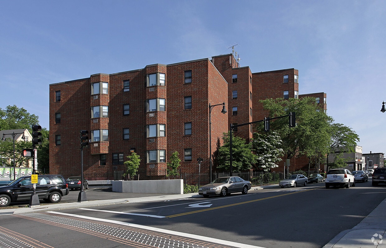
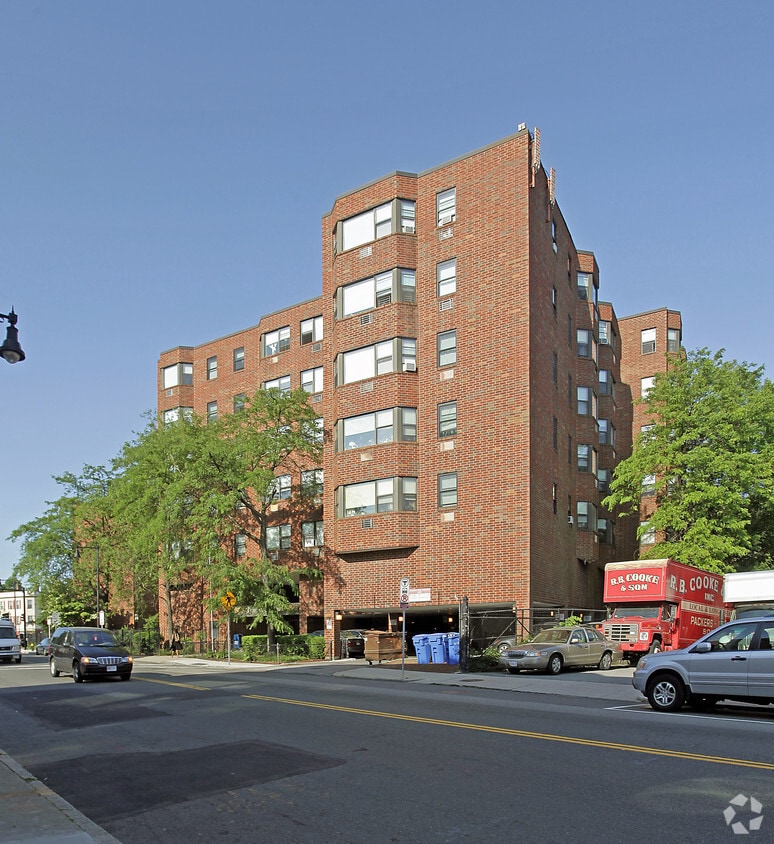
Thanks for visiting Peabody/Englewood. The 02124 location in Boston is an ideal place to move. Schedule a time to check out the current floorplan options. The leasing staff is waiting to show you all that this community has to offer. It's time to love where you live. Stop by for a visit today.
Peabody/Englewood is an apartment community located in Suffolk County and the 02124 ZIP Code. This area is served by the Boston Public Schools attendance zone.
A quick six miles directly south of Downtown Boston lies the close-knit community of Saintt. Marks, tightly packed with multifamily, triple-decker houses for rent. Workers reach the center of the city in less than 30 minutes by driving up Interstate 93 or taking the MBTA red line from Shawmut station. Dorchester Avenue runs through the heart of St. Marks, giving residents an active commercial district with homes lining the side streets.
Franklin Park, just two miles west of St. Marks, provides a large green space filled with wetlands, fields, and ponds. This is the location of the Franklin Park Zoo, the Franklin Park Playstead, and the William J. Devine Golf Course. Head a couple of blocks east to the parks along the Neponset River, including the dog-friendly Victory Road Park or to Tenean Beach, which offers a boardwalk, picnic areas, and a playground. During the summer and fall, head to the nearby Ashmont/Peabody Square Farmers Market to pick up some local New England produce.
Learn more about living in St MarksCompare neighborhood and city base rent averages by bedroom.
| St Marks | Boston, MA | |
|---|---|---|
| Studio | $2,158 | $2,977 |
| 1 Bedroom | $2,065 | $3,608 |
| 2 Bedrooms | $2,267 | $4,557 |
| 3 Bedrooms | $2,785 | $5,908 |
| Colleges & Universities | Distance | ||
|---|---|---|---|
| Colleges & Universities | Distance | ||
| Drive: | 8 min | 3.3 mi | |
| Drive: | 10 min | 4.8 mi | |
| Drive: | 12 min | 4.8 mi | |
| Drive: | 10 min | 5.3 mi |


Transportation options available in Boston include Ashmont Station, located 0.2 mile from Peabody/Englewood. Peabody/Englewood is near General Edward Lawrence Logan International, located 9.8 miles or 17 minutes away.
| Transit / Subway | Distance | ||
|---|---|---|---|
| Transit / Subway | Distance | ||
|
|
Walk: | 4 min | 0.2 mi |
|
|
Walk: | 11 min | 0.6 mi |
|
|
Walk: | 11 min | 0.6 mi |
|
|
Walk: | 19 min | 1.0 mi |
|
|
Drive: | 3 min | 1.3 mi |
| Commuter Rail | Distance | ||
|---|---|---|---|
| Commuter Rail | Distance | ||
| Walk: | 18 min | 0.9 mi | |
|
|
Drive: | 2 min | 1.6 mi |
| Drive: | 5 min | 1.8 mi | |
|
|
Drive: | 6 min | 2.6 mi |
| Drive: | 5 min | 2.6 mi |
| Airports | Distance | ||
|---|---|---|---|
| Airports | Distance | ||
|
General Edward Lawrence Logan International
|
Drive: | 17 min | 9.8 mi |
Scores provided by
Traffic
BusyAirport
CalmBusinesses
BusyScores provided by
HowLoud What is a Sound Score Rating? A Sound Score Rating aggregates noise caused by vehicle traffic, airplane traffic and local sources. How It WorksTime and distance from Peabody/Englewood.
| Shopping Centers | Distance | ||
|---|---|---|---|
| Shopping Centers | Distance | ||
| Drive: | 3 min | 1.4 mi | |
| Drive: | 3 min | 1.6 mi | |
| Drive: | 4 min | 2.3 mi |
| Parks and Recreation | Distance | ||
|---|---|---|---|
| Parks and Recreation | Distance | ||
|
Franklin Park Zoo
|
Drive: | 5 min | 2.1 mi |
|
Lower Neponset River Trail
|
Drive: | 5 min | 2.2 mi |
|
Mass Audubon's Boston Nature Center and Wildlife Sanctuary
|
Drive: | 6 min | 2.8 mi |
|
Dorchester Shores Reservation
|
Drive: | 7 min | 2.9 mi |
|
Squantum Point Park
|
Drive: | 8 min | 3.8 mi |
| Hospitals | Distance | ||
|---|---|---|---|
| Hospitals | Distance | ||
| Walk: | 11 min | 0.6 mi | |
| Drive: | 5 min | 2.8 mi | |
| Drive: | 8 min | 3.8 mi |
| Military Bases | Distance | ||
|---|---|---|---|
| Military Bases | Distance | ||
| Drive: | 33 min | 19.6 mi | |
| Drive: | 39 min | 20.1 mi | |
| Drive: | 42 min | 24.5 mi |
Pets Allowed Fitness Center In Unit Washer & Dryer Balcony Elevator Rooftop Deck
Pets Allowed Fitness Center Pool Dishwasher Kitchen In Unit Washer & Dryer
Pets Allowed Fitness Center Dishwasher Refrigerator Kitchen In Unit Washer & Dryer Walk-In Closets
Pets Allowed Maintenance on site Heat Controlled Access Elevator Laundry Facilities
Pets Allowed Fitness Center Pool Dishwasher Refrigerator Kitchen
Pets Allowed Fitness Center Pool Clubhouse Balcony Stainless Steel Appliances Granite Countertops
Pets Allowed Fitness Center Dishwasher Refrigerator Kitchen In Unit Washer & Dryer
What Are Walk Score®, Transit Score®, and Bike Score® Ratings?
Walk Score® measures the walkability of any address. Transit Score® measures access to public transit. Bike Score® measures the bikeability of any address.
What is a Sound Score Rating?
A Sound Score Rating aggregates noise caused by vehicle traffic, airplane traffic and local sources.


