Median Age
38 Years
Largest Age Group
30-39 Years
Approximately 21% of Residents
Under 20
22%
Over 65
14%




Avg Rent
$3,106
Population
17,108
Renter Mix
56% Rent
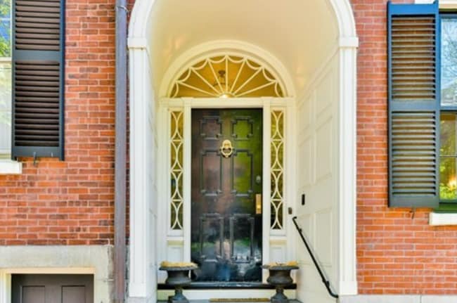
Boston's oldest neighborhood, Charlestown carries four centuries of American history while functioning as one of the city's most walkable corners. Perched on a peninsula north of the Charles River and directly across from downtown Boston, the neighborhood puts daily errands, cafes, parks, and restaurants within easy reach on foot -- no car needed for most routines. The compact grid of Federal-style rowhouses and brick townhomes gives the area a distinctive, cohesive character, and the proximity to downtown keeps everything well-connected.
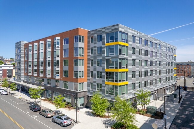
The rental landscape skews toward historic brick rowhouses, converted townhomes, and boutique apartment communities tucked into tree-lined side streets. Larger buildings with modern interiors also appear near the Navy Yard waterfront, offering harbor views alongside classic Boston architecture.
Charlestown was originally called Mishawum by the Massachusett people and was laid out in 1629, making it the first capital of the Massachusetts Bay Colony. That deep historical footprint is visible everywhere, from Freedom Trail markers winding through the streets to the Bunker Hill Monument rising above the rooftops.
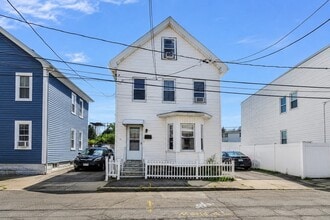
A quiet residential street in Charlestown
Median Household Income
$139,305
Average: $163,662
Education
9,079
Residents Have a Degree
Job Market
10,677
Workers Employed
Median Age
38 Years
Largest Age Group
30-39 Years
Approximately 21% of Residents
Under 20
22%
Over 65
14%
Housing Distribution
Charlestown has more renters than homeowners.

Education Distribution
Review this city's overall education levels.

As of September 2026, the average apartment rent in Charlestown, MA is $2,648 for a studio, $3,109 for one bedroom, $4,995 for two bedrooms, and $5,096 for three bedrooms. Apartment rent in Charlestown has increased by 4.6% in the past year.
Explore how walkable, bikeable, drivable, and transit-friendly Charlestown, MA is for everyday living.
Exceptionally Walkable
Walkability
Strong Public Transit
Transit
Fairly Drivable
Drivability
Moderately Bikeable
Bikeability

Public
Grades 6-8
306 Students
 The GreatSchools Rating helps parents compare schools within a state based on a variety of school quality indicators and provides a helpful picture of how effectively each school serves all of its students. Ratings are on a scale of 1 (below average) to 10 (above average) and can include test scores, college readiness, academic progress, advanced courses, equity, discipline and attendance data. We also advise parents to visit schools, consider other information on school performance and programs, and consider family needs as part of the school selection process.
View GreatSchools Rating Methodology
Data provided by
GreatSchools.org
© 2026. All rights reserved.
The GreatSchools Rating helps parents compare schools within a state based on a variety of school quality indicators and provides a helpful picture of how effectively each school serves all of its students. Ratings are on a scale of 1 (below average) to 10 (above average) and can include test scores, college readiness, academic progress, advanced courses, equity, discipline and attendance data. We also advise parents to visit schools, consider other information on school performance and programs, and consider family needs as part of the school selection process.
View GreatSchools Rating Methodology
Data provided by
GreatSchools.org
© 2026. All rights reserved.
† Our analysis of utilities, groceries, transportation, healthcare, home prices, and other goods and services is sourced from the Cost of Living Index, a respected benchmark published by the Council for Community and Economic Research (C2ER) that provides a thorough overview of living expenses across different regions.
Rent data is provided by CoStar Group’s Market Trend reports. As the industry leader in commercial real estate information, analytics, and news, CoStar conducts extensive research to produce and maintain a comprehensive database of commercial real estate information. We combine this data with public record to provide the most up-to-date rental information available.
Consumer goods, services, and home prices are sourced from the Cost of Living Index published by the Council for Community and Economic Research (C2ER). The data on this page is updated quarterly. It was last published in September 2026.
Demographic information comes from Neustar and combines detailed address data with U.S. Census and American Community Survey statistics to produce reliable local estimates.