
Miami World Tower
710 NE 1st Ave,
Miami, FL 33132
Studio - 2 Beds $2,565 - $6,490


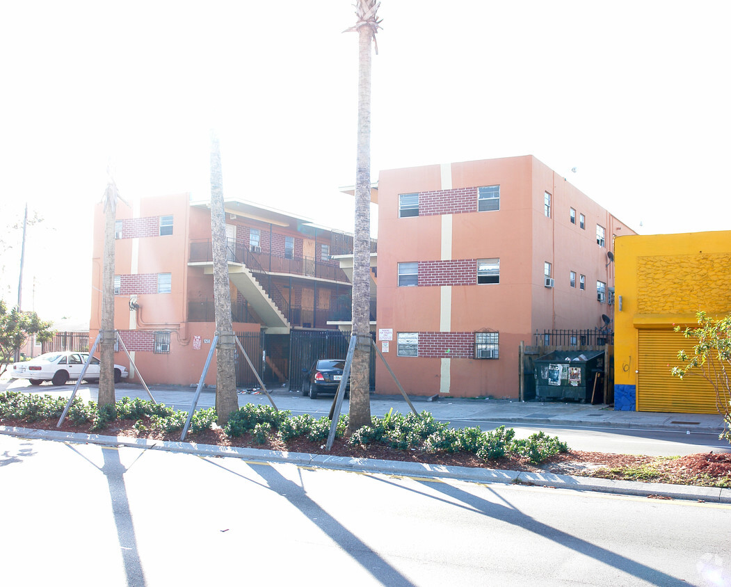
At Liberty City - 62nd St in Miami, FL, experience fine living. This apartment community is located on Nw 62nd St. in Miami. From amenities to availability, the community staff is ready and waiting to help you find the perfect place. Schedule a time to check out the apartment floorplan options. Experience a new standard at Liberty City - 62nd St.
Liberty City - 62nd St is an apartment community located in Miami/Dade County and the 33147 ZIP Code. This area is served by the Miami-Dade County Public Schools attendance zone.
Air Conditioning
High Speed Internet Access
Refrigerator
Smoke Free
Liberty City is a Miami neighborhood on the rise that’s just six miles north of downtown. Here, you’ll find a hardworking, close-knit community that enjoys a slightly lower cost of living than the rest of the Miami area to the south. The neighborhood’s location directly west of Interstate 95 makes it convenient for the commuting crowd. A vibrant dining scene can be found in Liberty City. Creole food, Jamaican food, seafood, Thai, and so much more makes this area an unsung foodie’s hotspot. With Downtown Miami so close, living in Liberty City puts you close to all the action without the bigger price tags of living closer to the dazzling beaches.
Learn more about living in Liberty City| Colleges & Universities | Distance | ||
|---|---|---|---|
| Colleges & Universities | Distance | ||
| Drive: | 7 min | 2.9 mi | |
| Drive: | 8 min | 3.0 mi | |
| Drive: | 9 min | 4.5 mi | |
| Drive: | 9 min | 5.1 mi |


Transportation options available in Miami include School Board, located 4.4 miles from Liberty City - 62nd St. Liberty City - 62nd St is near Miami International, located 9.2 miles or 21 minutes away, and Fort Lauderdale/Hollywood International, located 19.7 miles or 28 minutes away.
| Transit / Subway | Distance | ||
|---|---|---|---|
| Transit / Subway | Distance | ||
|
|
Drive: | 8 min | 4.4 mi |
|
|
Drive: | 7 min | 4.7 mi |
|
|
Drive: | 9 min | 4.9 mi |
|
|
Drive: | 8 min | 5.0 mi |
|
Airport Station
|
Drive: | 15 min | 6.2 mi |
| Commuter Rail | Distance | ||
|---|---|---|---|
| Commuter Rail | Distance | ||
|
|
Drive: | 4 min | 1.8 mi |
|
|
Drive: | 5 min | 1.9 mi |
|
|
Drive: | 5 min | 2.5 mi |
|
|
Drive: | 6 min | 3.2 mi |
|
|
Drive: | 5 min | 3.4 mi |
| Airports | Distance | ||
|---|---|---|---|
| Airports | Distance | ||
|
Miami International
|
Drive: | 21 min | 9.2 mi |
|
Fort Lauderdale/Hollywood International
|
Drive: | 28 min | 19.7 mi |
Time and distance from Liberty City - 62nd St.
| Shopping Centers | Distance | ||
|---|---|---|---|
| Shopping Centers | Distance | ||
| Walk: | 9 min | 0.5 mi | |
| Walk: | 13 min | 0.7 mi | |
| Walk: | 14 min | 0.7 mi |
| Parks and Recreation | Distance | ||
|---|---|---|---|
| Parks and Recreation | Distance | ||
|
Miami Children's Museum
|
Drive: | 10 min | 6.1 mi |
|
Jungle Island
|
Drive: | 11 min | 6.5 mi |
|
Miami Science Museum - Closed
|
Drive: | 11 min | 7.1 mi |
|
Enchanted Forest Elaine Gordon Park
|
Drive: | 14 min | 7.8 mi |
|
Arch Creek Park & Nature Center
|
Drive: | 14 min | 7.9 mi |
| Hospitals | Distance | ||
|---|---|---|---|
| Hospitals | Distance | ||
| Drive: | 4 min | 2.2 mi | |
| Drive: | 7 min | 2.9 mi | |
| Drive: | 5 min | 3.3 mi |
What Are Walk Score®, Transit Score®, and Bike Score® Ratings?
Walk Score® measures the walkability of any address. Transit Score® measures access to public transit. Bike Score® measures the bikeability of any address.
What is a Sound Score Rating?
A Sound Score Rating aggregates noise caused by vehicle traffic, airplane traffic and local sources
1250 NW 62nd St
Miami, FL 33147


