Forte at 1440 Beacon
1440 Beacon St,
Brookline, MA 02446
$2,709 - $3,585 Plus Fees
Studio - 1 Bed 12 Month Lease
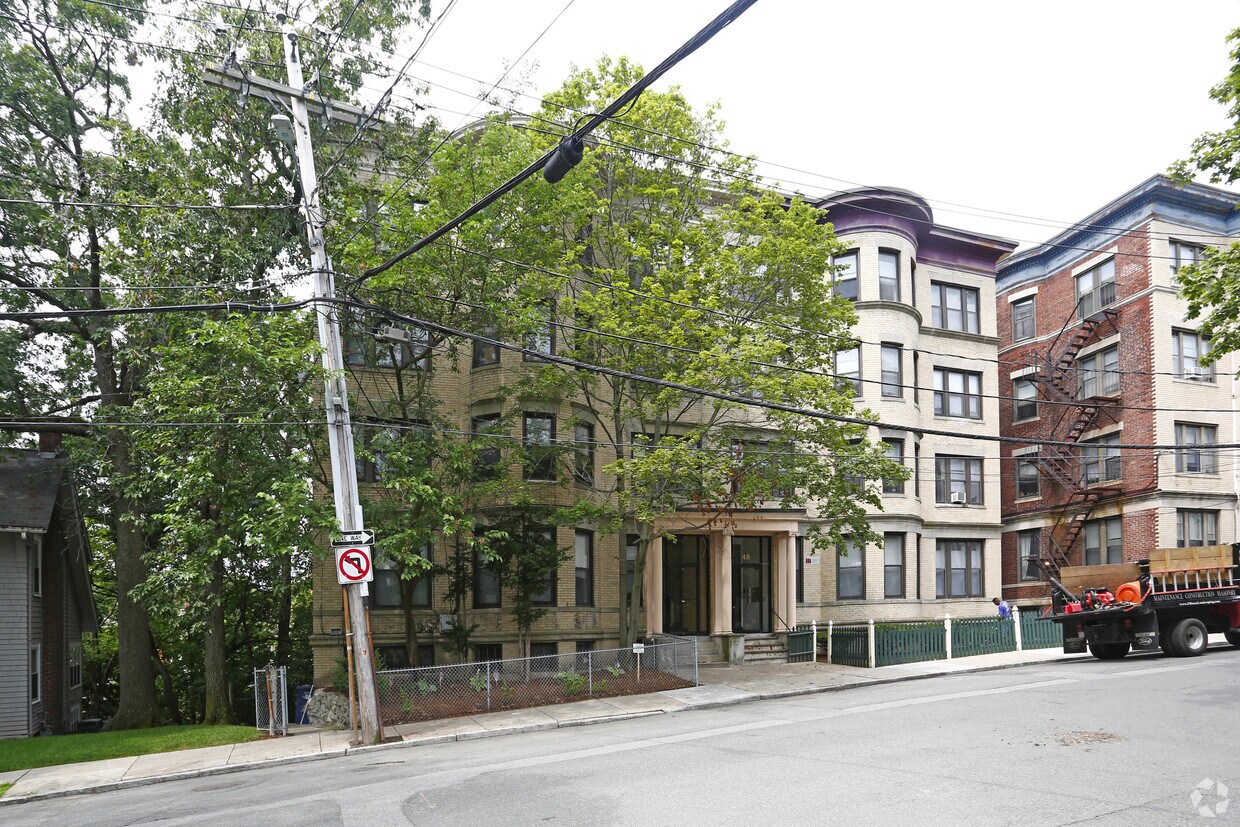
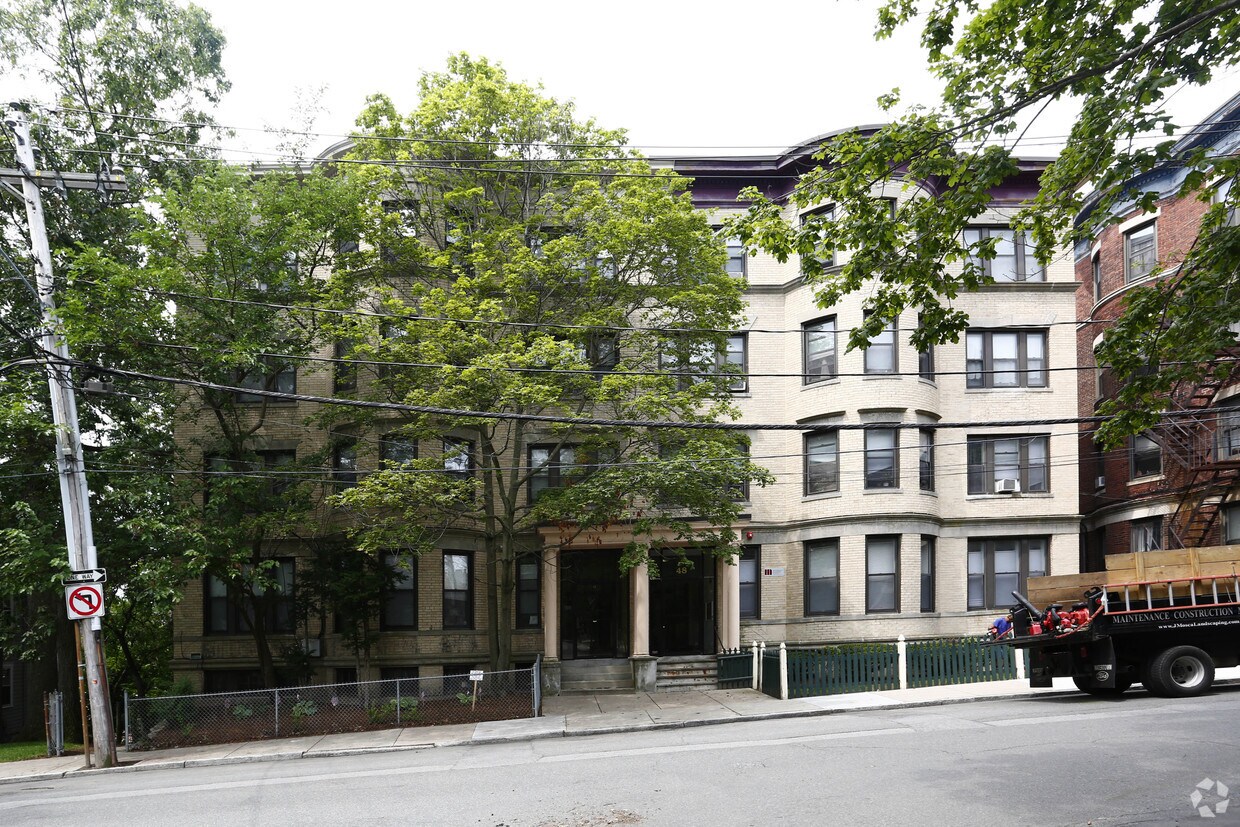
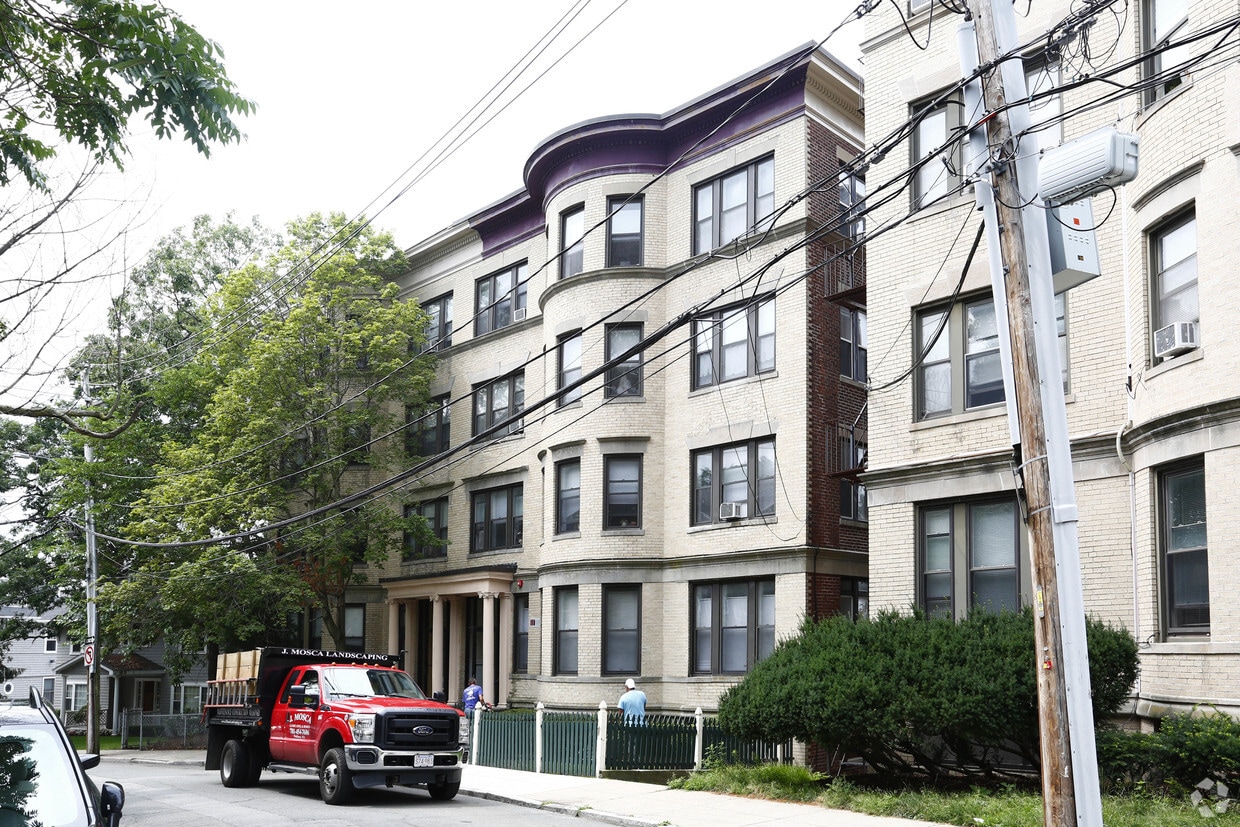
Check out Cummings Road Apartments. This community is located in the Commonwealth area of Brighton. The professional leasing staff is eager to show you our community. It's time to love where you live. Stop by for a visit today.
Cummings Road Apartments is an apartment community located in Suffolk County and the 02135 ZIP Code. This area is served by the Brookline attendance zone.
Situated about five miles west of Downtown Boston, Commonwealth boasts a vibrant atmosphere with charming brick buildings, local shops, delectable restaurants, numerous entertainment options, lush parks and playgrounds, and a diverse population. Commonwealth is convenient to several renowned attractions, including the John Fitzgerald Kennedy National Historic Site, Coolidge Corner Theatre, Brookline Booksmith, and Brighton Music Hall.
Commonwealth residents also enjoy quick access to Boston College, making the area especially popular among the institution’s students, faculty, and staff. A host of T stops strewn along Commonwealth Avenue provide easy commutes and travels to Greater Boston as well as convenience to an array of metropolitan amenities.
Learn more about living in Commonwealth| Colleges & Universities | Distance | ||
|---|---|---|---|
| Colleges & Universities | Distance | ||
| Drive: | 5 min | 2.1 mi | |
| Drive: | 4 min | 2.3 mi | |
| Drive: | 5 min | 2.3 mi | |
| Drive: | 6 min | 2.9 mi |


Transportation options available in Brighton include Sutherland Street Station, located 0.1 mile from Cummings Road Apartments. Cummings Road Apartments is near General Edward Lawrence Logan International, located 9.4 miles or 17 minutes away.
| Transit / Subway | Distance | ||
|---|---|---|---|
| Transit / Subway | Distance | ||
|
|
Walk: | 2 min | 0.1 mi |
|
|
Walk: | 5 min | 0.3 mi |
|
|
Walk: | 6 min | 0.3 mi |
|
|
Walk: | 7 min | 0.4 mi |
|
|
Walk: | 10 min | 0.5 mi |
| Commuter Rail | Distance | ||
|---|---|---|---|
| Commuter Rail | Distance | ||
|
|
Drive: | 7 min | 3.5 mi |
|
|
Drive: | 8 min | 3.7 mi |
|
|
Drive: | 9 min | 4.2 mi |
|
|
Drive: | 10 min | 5.0 mi |
| Drive: | 10 min | 5.1 mi |
| Airports | Distance | ||
|---|---|---|---|
| Airports | Distance | ||
|
General Edward Lawrence Logan International
|
Drive: | 17 min | 9.4 mi |
Time and distance from Cummings Road Apartments.
| Shopping Centers | Distance | ||
|---|---|---|---|
| Shopping Centers | Distance | ||
| Walk: | 6 min | 0.4 mi | |
| Walk: | 12 min | 0.6 mi | |
| Drive: | 4 min | 1.4 mi |
| Parks and Recreation | Distance | ||
|---|---|---|---|
| Parks and Recreation | Distance | ||
|
Chestnut Hill Reservation
|
Walk: | 11 min | 0.6 mi |
|
John Fitzgerald Kennedy National Historic Site
|
Drive: | 3 min | 1.7 mi |
|
Frederick Law Olmsted National Historic Site
|
Drive: | 4 min | 1.8 mi |
|
Coit Observatory
|
Drive: | 6 min | 2.8 mi |
|
Hammond Pond Reservation
|
Drive: | 6 min | 3.1 mi |
| Hospitals | Distance | ||
|---|---|---|---|
| Hospitals | Distance | ||
| Walk: | 15 min | 0.8 mi | |
| Walk: | 17 min | 0.9 mi | |
| Drive: | 3 min | 1.7 mi |
| Military Bases | Distance | ||
|---|---|---|---|
| Military Bases | Distance | ||
| Drive: | 24 min | 14.1 mi | |
| Drive: | 28 min | 14.2 mi |
Pets Allowed Fitness Center Dishwasher Refrigerator Kitchen In Unit Washer & Dryer
Pets Allowed Fitness Center In Unit Washer & Dryer Balcony High-Speed Internet Stainless Steel Appliances
Pets Allowed Fitness Center Pool Dishwasher Refrigerator Kitchen
Pets Allowed Fitness Center Pool Dishwasher Kitchen In Unit Washer & Dryer
What Are Walk Score®, Transit Score®, and Bike Score® Ratings?
Walk Score® measures the walkability of any address. Transit Score® measures access to public transit. Bike Score® measures the bikeability of any address.
What is a Sound Score Rating?
A Sound Score Rating aggregates noise caused by vehicle traffic, airplane traffic and local sources


")


