
Moment
650 Portland Ave S,
Minneapolis, MN 55415
Studio - 2 Beds $1,501 - $5,618

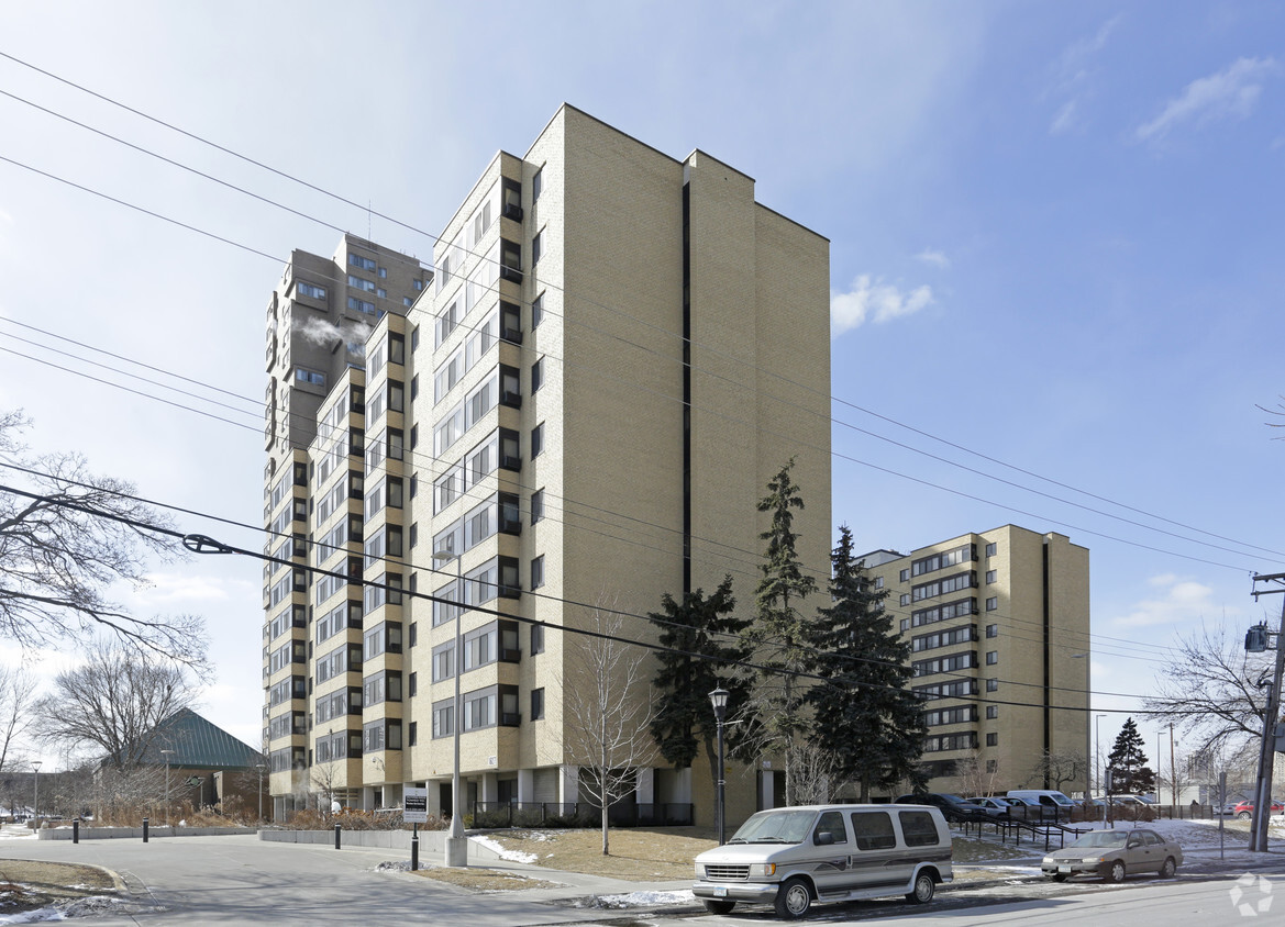
Visit Cedar High Apartments in Minneapolis, MN. The address for this community is on S. 6th St. in the 55454 area of Minneapolis. Here at this community, the leasing staff will assist you in finding your perfect new home. Come by to view the available floorplans. Experience a new standard at Cedar High Apartments.
Cedar High Apartments is an apartment community located in Hennepin County and the 55454 ZIP Code. This area is served by the Minneapolis Public School Dist. attendance zone.
High Speed Internet Access
Refrigerator
Smoke Free
Oven
Commonly referred to as West Bank or Riverside, Cedar-Riverside has long been known as the artistic center of Minneapolis. The neighborhood attracted a slew of intellectuals, artists, actors, and musicians in the 1960s. That period of time earned this neighborhood the title of the Haight-Ashbury of the Midwest.
A couple of decades later, the open-minded culture of the neighborhood made it a welcoming place for an eclectic mix of residents, including students and creative types. Apartments have popped up along the western border formed by the I-94 and I-35W. There are cafes and restaurants on Riverside Ave., and attractive parks along the Mississippi River. The neighborhood celebrates its heritage and history annually at the Bohemian Flats Music Festival.
Learn more about living in Cedar-Riverside| Colleges & Universities | Distance | ||
|---|---|---|---|
| Colleges & Universities | Distance | ||
| Walk: | 10 min | 0.6 mi | |
| Drive: | 5 min | 1.7 mi | |
| Drive: | 6 min | 2.6 mi | |
| Drive: | 7 min | 2.9 mi |

Transportation options available in Minneapolis include Cedar/Riverside Station, located 0.2 mile from Cedar High Apartments. Cedar High Apartments is near Minneapolis-St Paul International/Wold-Chamberlain, located 9.3 miles or 19 minutes away.
| Transit / Subway | Distance | ||
|---|---|---|---|
| Transit / Subway | Distance | ||
|
|
Walk: | 3 min | 0.2 mi |
| Walk: | 7 min | 0.4 mi | |
|
|
Walk: | 8 min | 0.4 mi |
| Drive: | 3 min | 1.1 mi | |
|
|
Drive: | 3 min | 1.2 mi |
| Commuter Rail | Distance | ||
|---|---|---|---|
| Commuter Rail | Distance | ||
|
|
Drive: | 7 min | 2.3 mi |
|
|
Drive: | 14 min | 9.0 mi |
|
|
Drive: | 18 min | 11.5 mi |
|
|
Drive: | 30 min | 23.2 mi |
|
|
Drive: | 31 min | 24.8 mi |
| Airports | Distance | ||
|---|---|---|---|
| Airports | Distance | ||
|
Minneapolis-St Paul International/Wold-Chamberlain
|
Drive: | 19 min | 9.3 mi |
Time and distance from Cedar High Apartments.
| Shopping Centers | Distance | ||
|---|---|---|---|
| Shopping Centers | Distance | ||
| Walk: | 11 min | 0.6 mi | |
| Walk: | 17 min | 0.9 mi | |
| Drive: | 4 min | 1.4 mi |
| Parks and Recreation | Distance | ||
|---|---|---|---|
| Parks and Recreation | Distance | ||
|
Currie Park
|
Walk: | 4 min | 0.3 mi |
|
Cedar Avenue Field Park
|
Walk: | 16 min | 0.9 mi |
|
East Phillips Park
|
Walk: | 16 min | 0.9 mi |
|
Riverside Park
|
Walk: | 17 min | 0.9 mi |
|
Elliot Park
|
Drive: | 4 min | 1.5 mi |
| Hospitals | Distance | ||
|---|---|---|---|
| Hospitals | Distance | ||
| Walk: | 11 min | 0.6 mi | |
| Drive: | 4 min | 1.4 mi | |
| Drive: | 5 min | 1.8 mi |
| Military Bases | Distance | ||
|---|---|---|---|
| Military Bases | Distance | ||
| Drive: | 14 min | 6.3 mi |
What Are Walk Score®, Transit Score®, and Bike Score® Ratings?
Walk Score® measures the walkability of any address. Transit Score® measures access to public transit. Bike Score® measures the bikeability of any address.
What is a Sound Score Rating?
A Sound Score Rating aggregates noise caused by vehicle traffic, airplane traffic and local sources
1627 S 6th St
Minneapolis, MN 55454


