

2 Beds
$4,544+
3 Beds
$7,146+
Total Monthly Price
Total Monthly Price
New
Prices include required monthly fees of $12.
Base Rent:
2 Beds
$4,532+
3 Beds
$7,134+
Specials
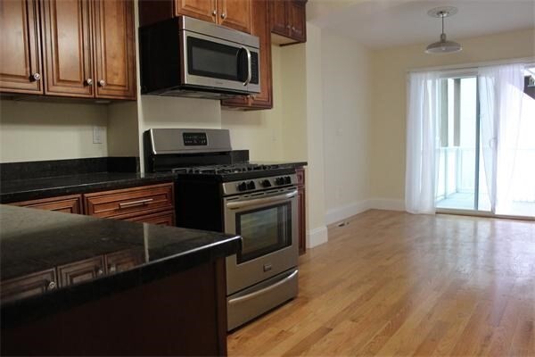
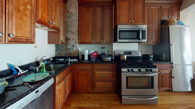
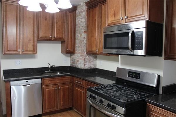
Pets Allowed Fitness Center Pool Dishwasher Refrigerator Kitchen