
Pioneer Endicott
141 4th St E,
Saint Paul, MN 55101
$1,137 - $2,425 Total Monthly Price
Studio - 2 Beds
Bedrooms
1 bd
Bathrooms
1 ba
Square Feet
353 - 500 sq ft
Find your new home at 476 Herschel St. in St. Paul, MN. This community is located on University Ave W in St. Paul. The leasing team is ready to help you find the best floor plan for your lifestyle. Come see 476 Herschel St. today.
Find your new home at 476 Herschel St. in St. Paul, MN. This community is located on University Ave W in St. Paul. The leasing team is ready to help you find the best floor plan for your lifestyle. Come see 476 Herschel St. today.
476 Herschel St. is an apartment community located in Ramsey County and the 55104 ZIP Code. This area is served by the St. Paul Public School District attendance zone.
Unique Features
Hardwood Floors
Refrigerator
Heating
Oven
Apartments and condos in classic brick buildings welcome renters to the Merriam Park East neighborhood of Saint Paul. With the University of Minnesota just beyond Merriam Park East's borders, this community is popular with students and faculty. Interstate 94 cuts conveniently through the neighborhood, connecting residents to Minneapolis, two miles to the west, or Saint Paul, two miles to the east.
Residents of Merriam Park East find abundant shopping opportunities at local malls and up and down Marshall Boulevard, while the Town and Country Club to the west beckons golfers. The winding Mississippi River, less than a mile away, provides beautiful walking and jogging opportunities.
Learn more about living in Merriam Park EastCompare neighborhood and city base rent averages by bedroom.
| Merriam Park East | Saint Paul, MN | |
|---|---|---|
| Studio | $1,164 | $1,149 |
| 1 Bedroom | $1,230 | $1,298 |
| 2 Bedrooms | $1,497 | $1,656 |
| 3 Bedrooms | $3,192 | $2,195 |
| Colleges & Universities | Distance | ||
|---|---|---|---|
| Colleges & Universities | Distance | ||
| Drive: | 2 min | 1.2 mi | |
| Drive: | 4 min | 1.3 mi | |
| Drive: | 3 min | 1.5 mi | |
| Drive: | 4 min | 2.0 mi |


Transportation options available in Saint Paul include Snelling Ave Station, located 0.3 mile from 476 Herschel St.. 476 Herschel St. is near Minneapolis-St Paul International/Wold-Chamberlain, located 7.9 miles or 16 minutes away.
| Transit / Subway | Distance | ||
|---|---|---|---|
| Transit / Subway | Distance | ||
| Walk: | 5 min | 0.3 mi | |
| Walk: | 5 min | 0.3 mi | |
| Walk: | 14 min | 0.8 mi | |
| Drive: | 2 min | 1.3 mi | |
| Drive: | 4 min | 1.6 mi |
| Commuter Rail | Distance | ||
|---|---|---|---|
| Commuter Rail | Distance | ||
|
|
Drive: | 9 min | 5.0 mi |
|
|
Drive: | 14 min | 7.1 mi |
|
|
Drive: | 22 min | 15.6 mi |
|
|
Drive: | 32 min | 24.4 mi |
|
|
Drive: | 33 min | 26.1 mi |
| Airports | Distance | ||
|---|---|---|---|
| Airports | Distance | ||
|
Minneapolis-St Paul International/Wold-Chamberlain
|
Drive: | 16 min | 7.9 mi |
Scores provided by
Traffic
-Airport
-Businesses
-Scores provided by
HowLoud What is a Sound Score Rating? A Sound Score Rating aggregates noise caused by vehicle traffic, airplane traffic and local sources. How It WorksTime and distance from 476 Herschel St..
| Shopping Centers | Distance | ||
|---|---|---|---|
| Shopping Centers | Distance | ||
| Walk: | 9 min | 0.5 mi | |
| Walk: | 15 min | 0.8 mi |
| Parks and Recreation | Distance | ||
|---|---|---|---|
| Parks and Recreation | Distance | ||
|
Newell Park
|
Drive: | 3 min | 1.2 mi |
|
Macalester College Observatory
|
Drive: | 3 min | 1.6 mi |
|
Como Park
|
Drive: | 5 min | 2.6 mi |
|
Marjorie McNeely Conservatory
|
Drive: | 7 min | 2.9 mi |
|
The Raptor Center - University of Minnesota
|
Drive: | 8 min | 3.1 mi |
| Hospitals | Distance | ||
|---|---|---|---|
| Hospitals | Distance | ||
| Drive: | 7 min | 3.8 mi | |
| Drive: | 7 min | 3.8 mi | |
| Drive: | 7 min | 4.4 mi |
| Military Bases | Distance | ||
|---|---|---|---|
| Military Bases | Distance | ||
| Drive: | 15 min | 6.6 mi |
Pets Allowed Fitness Center Pool Dishwasher Refrigerator Clubhouse Maintenance on site
High-Speed Internet Laundry Facilities
Pets Allowed Fitness Center Pool Dishwasher Refrigerator Kitchen
Pets Allowed Fitness Center Pool Dishwasher Refrigerator Kitchen In Unit Washer & Dryer
Pets Allowed Pool Dishwasher Microwave Granite Countertops
What Are Walk Score®, Transit Score®, and Bike Score® Ratings?
Walk Score® measures the walkability of any address. Transit Score® measures access to public transit. Bike Score® measures the bikeability of any address.
What is a Sound Score Rating?
A Sound Score Rating aggregates noise caused by vehicle traffic, airplane traffic and local sources.

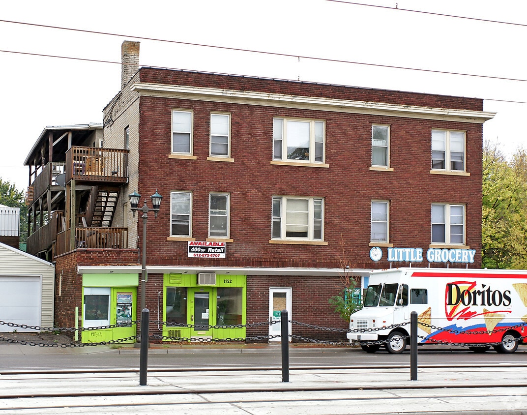
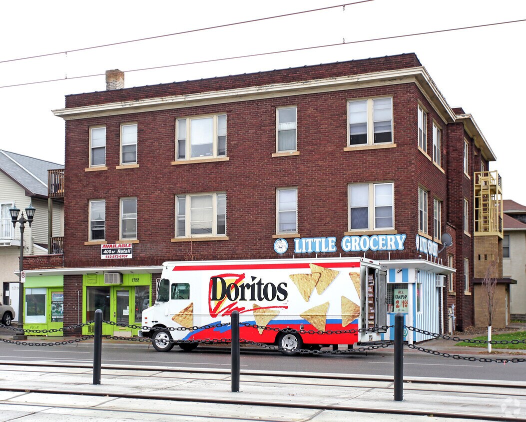
1722-1724 University Ave W
Saint Paul, MN 55104


