$3,000 / Month
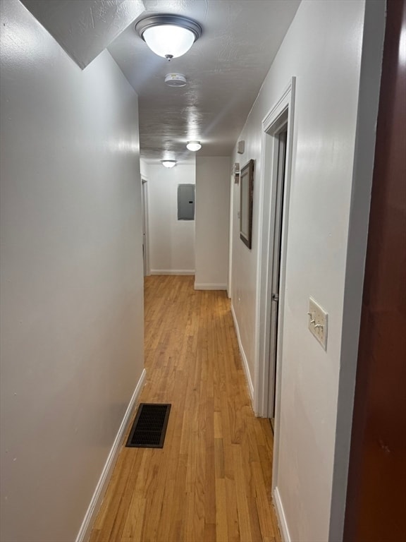
37-39-39 Woodford St Unit 1
Boston, MA 02125
Today
Favorites
617-615-1792
-
Bedrooms
3
-
Bathrooms
1
-
Square Feet
5,200 sq ft
-
Available
Available Now
Highlights
- Property is near public transit
- No Cooling
- Shops
37-39-39 Woodford St Unit 1

Favorites
About This Home
$3,400 deposit,
Available Now
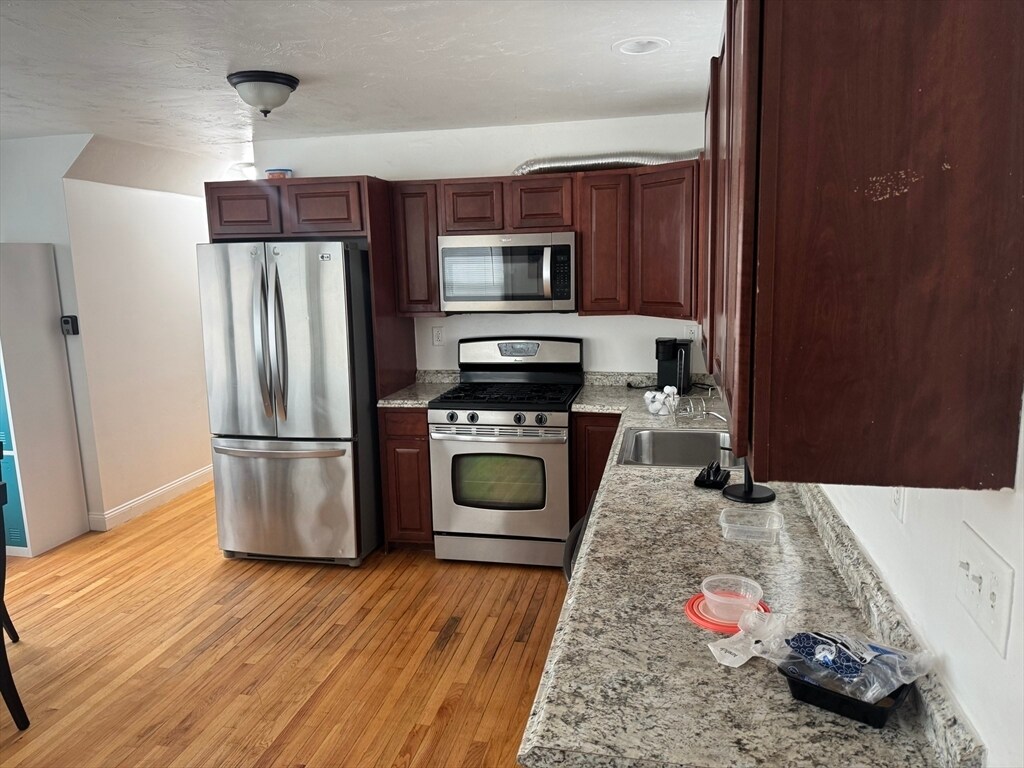
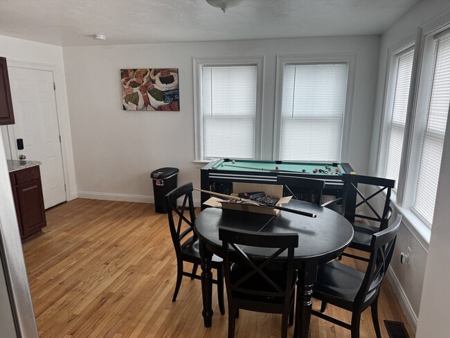
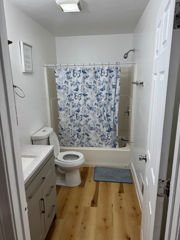
Available for rent immediately: three bedrooms and one bathroom. All three bedrooms are generously sized with good closet space. The bathroom has been updated with a new vanity and modern fixtures. There is plenty of street parking. The property is conveniently located just minutes from local shops,restaurants,and public transportation. Schedule your showing today,as this will not last. MLS# 73359456
37-39-39 Woodford St is an apartment community located in Suffolk County and the 02125 ZIP Code.
* Price shown is base rent and may not include non-optional fees and utilities.
Price, availability, fees, and any applicable rent special are subject to change without notice.
* Square footage definitions vary. Displayed square footage is approximate.
Home Details
Year Built
Built in 2007
Accessible Home Design
Entry on the 1st floor
Bedrooms and Bathrooms
1 Full Bathroom
3 Bedrooms
Home Design
Apartment
Interior Spaces
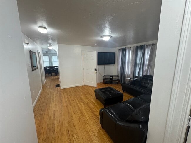
5,200 Sq Ft Home
Listing and Financial Details
Security Deposit $3,400
Property Available on 4/14/25
Assessor Parcel Number W:13 P:00241 S:000,1301931
Rent includes sewer
Location
Property is near public transit
Property is near schools
Lot Details
5,200 Sq Ft Lot
Utilities
No Cooling
Community Details
Amenities
Shops
Overview
No Home Owners Association
Pet Policy
No Pets Allowed
Contact
- Listed by Francis Ogu | Rosario Real Estate LLC
- Phone Number
-
Source
 MLS Property Information Network
The property listing data and information set forth herein were provided to MLS Property Information Network, Inc. from third party sources, including sellers, lessors and public records, and were compiled by MLS Property Information Network, Inc. The property listing data and information are for the personal, non-commercial use of consumers having a good faith interest in purchasing or leasing listed properties of the type displayed to them and may not be used for any purpose other than to identify prospective properties which such consumers may have a good faith interest in purchasing or leasing. MLS Property Information Network, Inc. and its subscribers disclaim any and all representations and warranties as to the accuracy of the property listing data and information set forth herein. All properties are subject to prior sale, change or withdrawal. Copyright © 2025 MLS Property Information Network, Inc. All rights reserved.
Location
Get Directions
Less than four miles outside of Downtown Boston sits Dudley-Brunswick King. Full of non-profit organizations committed to advancing the community, Dudley-Brunswick King is home to the Food Project, CommonWealth Kitchen, Project Hope, and the Dudley Street Neighborhood Initiative.
Dudley-Brunswick King residents enjoy access to cultural and educational venues such as the Boston Public Library and Oodua African Movie Center. There are a number of parks and green spaces in Dudley-Brunswick King including Clifford Playground, Mary Hannon Park, Ceylon Park, Brunswick-King Play Area, Dacia/Woodcliff Streets Garden, and multiple community gardens sponsored by the Food Project. Boston’s biggest park, Franklin Park, is also nearby and contains numerous amenities.
Convenient to the MBTA Commuter Rail, bus routes, and major highways as well as Boston Logan International Airport, Dudley-Brunswick King allows for easy commutes and travels.
Learn more about living in Dudley-Brunswick King
Education
| Colleges & Universities | Distance | ||
|---|---|---|---|
| Colleges & Universities | Distance | ||
| Drive: | 6 min | 2.2 mi | |
| Drive: | 5 min | 2.4 mi | |
| Drive: | 6 min | 2.5 mi | |
| Drive: | 5 min | 2.7 mi |
37-39-39 Woodford St Unit 1 is within 6 minutes or 2.5 miles from Northeastern University. It is also near Wentworth Inst. of Technology and UMass Boston.
Transportation options available in Boston include Andrew Station, located 1.4 miles from 37-39-39 Woodford St Unit 1. 37-39-39 Woodford St Unit 1 is near General Edward Lawrence Logan International, located 6.3 miles or 12 minutes away.
| Transit / Subway | Distance | ||
|---|---|---|---|
| Transit / Subway | Distance | ||
|
|
Drive: | 3 min | 1.4 mi |
|
|
Drive: | 5 min | 1.9 mi |
|
|
Drive: | 4 min | 1.9 mi |
|
|
Drive: | 4 min | 2.0 mi |
|
|
Drive: | 5 min | 2.5 mi |
| Commuter Rail | Distance | ||
|---|---|---|---|
| Commuter Rail | Distance | ||
|
|
Walk: | 6 min | 0.4 mi |
| Drive: | 3 min | 1.3 mi | |
| Drive: | 2 min | 1.3 mi | |
|
|
Drive: | 4 min | 1.6 mi |
|
|
Drive: | 6 min | 2.9 mi |
| Airports | Distance | ||
|---|---|---|---|
| Airports | Distance | ||
|
General Edward Lawrence Logan International
|
Drive: | 12 min | 6.3 mi |
Time and distance from 37-39-39 Woodford St Unit 1.
| Shopping Centers | Distance | ||
|---|---|---|---|
| Shopping Centers | Distance | ||
| Walk: | 16 min | 0.8 mi | |
| Drive: | 3 min | 1.3 mi | |
| Drive: | 3 min | 1.4 mi |
37-39-39 Woodford St Unit 1 has 3 shopping centers within 1.4 miles, which is about a 3-minute walk. The miles and minutes will be for the farthest away property.
| Parks and Recreation | Distance | ||
|---|---|---|---|
| Parks and Recreation | Distance | ||
|
Lower Neponset River Trail
|
Drive: | 4 min | 1.4 mi |
|
Franklin Park Zoo
|
Drive: | 3 min | 1.5 mi |
|
Roxbury Heritage State Park
|
Drive: | 3 min | 1.7 mi |
|
Dorchester Shores Reservation
|
Drive: | 5 min | 2.0 mi |
|
Squantum Point Park
|
Drive: | 13 min | 5.1 mi |
37-39-39 Woodford St Unit 1 has 5 parks within 5.1 miles, including Lower Neponset River Trail, Franklin Park Zoo, and Roxbury Heritage State Park.
| Hospitals | Distance | ||
|---|---|---|---|
| Hospitals | Distance | ||
| Drive: | 3 min | 1.5 mi | |
| Drive: | 4 min | 1.6 mi | |
| Drive: | 6 min | 3.0 mi |
37-39-39 Woodford St Unit 1 has 3 hospitals within 3.0 miles, the nearest is Boston Medical Center which is 1.5 miles away and a 3 minute drive.
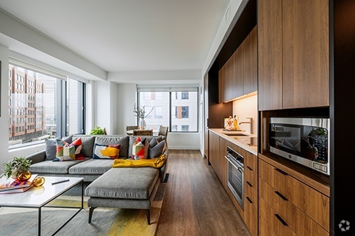
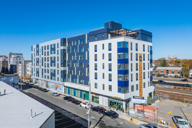
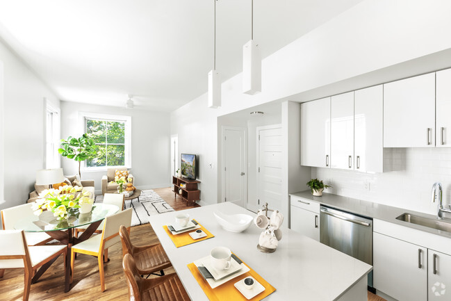
You May Also Like
Similar Rentals Nearby


What Are Walk Score®, Transit Score®, and Bike Score® Ratings?
Walk Score® measures the walkability of any address. Transit Score® measures access to public transit. Bike Score® measures the bikeability of any address.
What is a Sound Score Rating?
A Sound Score Rating aggregates noise caused by vehicle traffic, airplane traffic and local sources

37-39-39 Woodford St
Boston, MA 02125