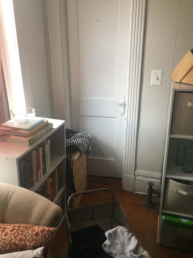
26 Westland Ave
26 Westland Ave,
Boston,
MA
02115
2 Weeks Ago
Favorites
26 Westland Ave

Favorites
Check Back Soon for Upcoming Availability
About 26 Westland Ave Boston, MA 02115
HEAT and HOT water INCLUDED STEPS TO BERKLEE AND NORTHEASTERN Subway Lines and Stops GREEN-E - Symphony (0.11 miles) ORANGE - Massachusetts Ave. (0.22 miles) GREEN-B - Hynes Convention Center / ICA (0.33 miles) GREEN-C - Hynes Convention Center / ICA (0.33 miles) GREEN-D - Hynes Convention Center / ICA (0.33 miles) GREEN - Copley (0.68 miles) Bus Routes and Stops 39 - Huntington Ave & Opera Pl (0.21 miles) 1 - Massachusetts Ave & Massachusetts Ave St (0.22 miles) CT1 - Massachusetts Ave & Massachusetts Ave St (0.22 miles) 55 - Boylston St & Massachusetts Ave (0.29 miles) 43 - Tremont St & Massachusetts Ave (0.44 miles) 60 - Kenmore Station Busway (0.57 miles) 65 - Kenmore Station Busway (0.57 miles) 8 - Kenmore Station Busway (0.57 miles) 19 - Kenmore Station Busway (0.57 miles) 57 - Kenmore Station Busway (0.57 miles) CT2 - Ruggles St & Huntington Ave (0.58 miles) CT3 - Ruggles St & Huntington Ave (0.58 miles)
26 Westland Ave is an apartment community located in Suffolk County and the 02115 ZIP Code.
Apartment Features
- Instant Hot Water
- Laundry Facilities
Fees and Policies
Details
Lease Options
-
12 Months
Location
Get Directions
Tree-filled, historic, and packed with educational opportunity, there's no other neighborhood quite like Fenway. The neighborhood may be most well-known for its titular attraction, Fenway Park, home of the Boston Red Sox. However, the area is also renowned for its sprawling greenspace. The name "Fenway" refers to the neighborhood’s lush parkway and tree-filled paths that wind lazily through the area, forming part of Frederick Law Olmsted’s “Emerald Necklace Plan” (a chain of parks throughout Boston). The Fenway opened in 1876, and its route includes the Museum of Fine Arts and the Isabella Steward Gardner Museum.
Learn more about living in FenwayBelow are rent ranges for similar nearby apartments
| Beds | Average Size | Lowest | Typical | Premium |
|---|---|---|---|---|
| Studio Studio Studio | 2082-2083 Sq Ft | $1,800 | $2,577 | $7,710 |
| 1 Bed 1 Bed 1 Bed | 2407-2409 Sq Ft | $1,350 | $3,351 | $10,870 |
| 2 Beds 2 Beds 2 Beds | 2843-2845 Sq Ft | $2,350 | $4,132 | $27,610 |
| 3 Beds 3 Beds 3 Beds | 3349-3351 Sq Ft | $1,395 | $5,184 | $25,000 |
| 4 Beds 4 Beds 4 Beds | 5582-5584 Sq Ft | $1,500 | $7,215 | $20,090 |
Amenities
- Instant Hot Water
- Laundry Facilities
Education
| Colleges & Universities | Distance | ||
|---|---|---|---|
| Colleges & Universities | Distance | ||
| Walk: | 5 min | 0.3 mi | |
| Walk: | 7 min | 0.4 mi | |
| Walk: | 13 min | 0.7 mi | |
| Drive: | 3 min | 1.3 mi |
26 Westland Ave is within 5 minutes or 0.3 mile from Berklee College of Music. It is also near Northeastern University and Wentworth Inst. of Technology.
Transportation options available in Boston include Symphony Station, located 0.1 mile from 26 Westland Ave. 26 Westland Ave is near General Edward Lawrence Logan International, located 6.3 miles or 14 minutes away.
| Transit / Subway | Distance | ||
|---|---|---|---|
| Transit / Subway | Distance | ||
|
|
Walk: | 1 min | 0.1 mi |
|
|
Walk: | 5 min | 0.3 mi |
|
|
Walk: | 6 min | 0.3 mi |
|
|
Walk: | 7 min | 0.4 mi |
|
|
Walk: | 7 min | 0.4 mi |
| Commuter Rail | Distance | ||
|---|---|---|---|
| Commuter Rail | Distance | ||
|
|
Walk: | 14 min | 0.7 mi |
|
|
Drive: | 7 min | 1.7 mi |
| Drive: | 5 min | 2.1 mi | |
|
|
Drive: | 8 min | 2.5 mi |
|
|
Drive: | 7 min | 3.9 mi |
| Airports | Distance | ||
|---|---|---|---|
| Airports | Distance | ||
|
General Edward Lawrence Logan International
|
Drive: | 14 min | 6.3 mi |
Time and distance from 26 Westland Ave.
| Shopping Centers | Distance | ||
|---|---|---|---|
| Shopping Centers | Distance | ||
| Drive: | 4 min | 1.4 mi | |
| Drive: | 9 min | 4.9 mi | |
| Drive: | 9 min | 5.1 mi |
26 Westland Ave has 3 shopping centers within 5.1 miles, which is about a 9-minute drive. The miles and minutes will be for the farthest away property.
| Parks and Recreation | Distance | ||
|---|---|---|---|
| Parks and Recreation | Distance | ||
|
Charles River Reservation
|
Drive: | 3 min | 1.4 mi |
|
Roxbury Heritage State Park
|
Drive: | 4 min | 1.7 mi |
|
Coit Observatory
|
Drive: | 4 min | 1.8 mi |
|
Boston Public Garden
|
Drive: | 6 min | 1.9 mi |
|
Boston African American National Historic Site
|
Drive: | 7 min | 2.4 mi |
26 Westland Ave has 5 parks within 2.4 miles, including Charles River Reservation, Boston Public Garden, and Roxbury Heritage State Park.
| Hospitals | Distance | ||
|---|---|---|---|
| Hospitals | Distance | ||
| Drive: | 3 min | 1.2 mi | |
| Drive: | 4 min | 1.6 mi | |
| Drive: | 5 min | 1.8 mi |
26 Westland Ave has 3 hospitals within 1.8 miles, the nearest is Boston Children's Hospital which is 1.2 miles away and a 3 minute drive.
| Military Bases | Distance | ||
|---|---|---|---|
| Military Bases | Distance | ||
| Drive: | 30 min | 15.8 mi | |
| Drive: | 29 min | 15.8 mi |
26 Westland Ave is 15.8 miles from Hanscom Air Force Base, and is convenient to other military bases, including US Military Reservation.
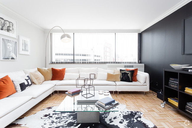
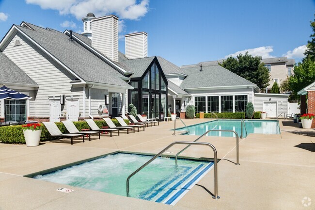
You May Also Like
Similar Rentals Nearby


What Are Walk Score®, Transit Score®, and Bike Score® Ratings?
Walk Score® measures the walkability of any address. Transit Score® measures access to public transit. Bike Score® measures the bikeability of any address.
What is a Sound Score Rating?
A Sound Score Rating aggregates noise caused by vehicle traffic, airplane traffic and local sources