
Legacy Commons at Signal Hills 55+ Apartments
45 Butler Ave E,
West Saint Paul, MN 55118
1-3 Beds $1,416 - $1,935
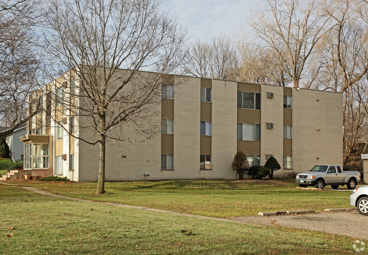

Experience West St. Paul living at 845 Dodd Rd. This community is located on Dodd Rd. in the South St Paul area of West St. Paul. The leasing staff will assist you in finding your perfect new place. Contact us or stop by today.
2-845 is an apartment community located in Dakota County and the 55118 ZIP Code. This area is served by the West St. Paul-Mendota Hts.-Eagan attendance zone.
South St. Paul is southwest of the Minneapolis/St. Paul area and is conveniently located off Highway 494 along the banks of the Mississippi. With a rich historic background and cultural diversity, the South St. Paul area is known for a laid-back lifestyle while providing a comfortable and affordable way of life.
South St. Paul prides itself on being a family-friendly community while also offering easy access to all the comforts of big city life. The area has a wide range of entertainment and recreational opportunities and hosts community events all year around.
Learn more about living in South St Paul| Colleges & Universities | Distance | ||
|---|---|---|---|
| Colleges & Universities | Distance | ||
| Drive: | 7 min | 3.1 mi | |
| Drive: | 9 min | 3.8 mi | |
| Drive: | 10 min | 5.1 mi | |
| Drive: | 10 min | 5.2 mi |


Transportation options available in West Saint Paul include Central Station, located 2.2 miles from 2-845. 2-845 is near Minneapolis-St Paul International/Wold-Chamberlain, located 9.2 miles or 16 minutes away.
| Transit / Subway | Distance | ||
|---|---|---|---|
| Transit / Subway | Distance | ||
| Drive: | 6 min | 2.2 mi | |
| Drive: | 6 min | 2.6 mi | |
| Drive: | 7 min | 2.8 mi | |
| Drive: | 7 min | 3.1 mi | |
| Drive: | 7 min | 3.4 mi |
| Commuter Rail | Distance | ||
|---|---|---|---|
| Commuter Rail | Distance | ||
|
|
Drive: | 7 min | 2.9 mi |
|
|
Drive: | 23 min | 12.4 mi |
|
|
Drive: | 28 min | 19.7 mi |
|
|
Drive: | 39 min | 27.9 mi |
|
|
Drive: | 40 min | 29.5 mi |
| Airports | Distance | ||
|---|---|---|---|
| Airports | Distance | ||
|
Minneapolis-St Paul International/Wold-Chamberlain
|
Drive: | 16 min | 9.2 mi |
Time and distance from 2-845.
| Shopping Centers | Distance | ||
|---|---|---|---|
| Shopping Centers | Distance | ||
| Walk: | 12 min | 0.6 mi | |
| Drive: | 5 min | 1.8 mi | |
| Drive: | 7 min | 2.7 mi |
| Parks and Recreation | Distance | ||
|---|---|---|---|
| Parks and Recreation | Distance | ||
|
Cherokee Regional Park
|
Drive: | 3 min | 1.2 mi |
|
Kellogg Mall Park
|
Drive: | 5 min | 2.1 mi |
|
Irvine Park
|
Drive: | 5 min | 2.3 mi |
|
Science Museum of Minnesota
|
Drive: | 6 min | 2.6 mi |
|
Mississippi National River & Recreation Area
|
Drive: | 6 min | 2.7 mi |
| Hospitals | Distance | ||
|---|---|---|---|
| Hospitals | Distance | ||
| Drive: | 4 min | 2.1 mi | |
| Drive: | 6 min | 2.9 mi | |
| Drive: | 7 min | 3.5 mi |
| Military Bases | Distance | ||
|---|---|---|---|
| Military Bases | Distance | ||
| Drive: | 14 min | 8.0 mi |
What Are Walk Score®, Transit Score®, and Bike Score® Ratings?
Walk Score® measures the walkability of any address. Transit Score® measures access to public transit. Bike Score® measures the bikeability of any address.
What is a Sound Score Rating?
A Sound Score Rating aggregates noise caused by vehicle traffic, airplane traffic and local sources


