1 / 26


Bedrooms
3
Bathrooms
3
Square Feet
2,354 sq ft
Available
Available Now

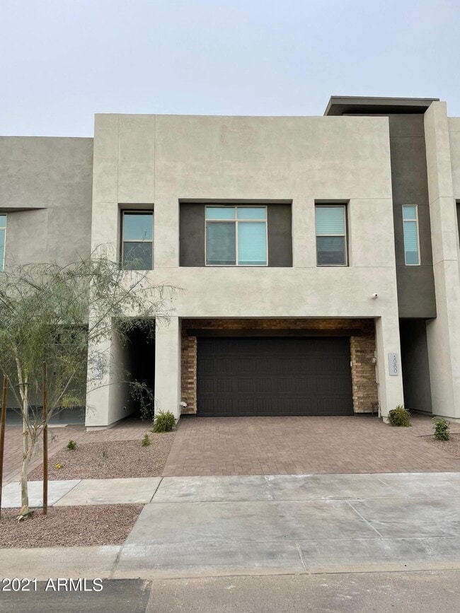
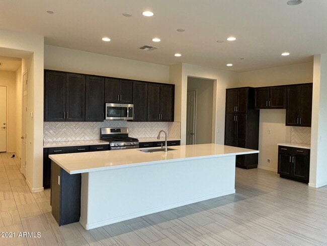
Impecable casa adosada a estrenar con acabados de lujo. La suite está equipada con azulejos de diseño, cocina abierta, encimeras de cuarzo, electrodomésticos de acero inoxidable, ventiladores de techo, patio lateral, terraza y mucho más. Cerca de escuelas de primera categoría, tiendas y servicios. El lugar perfecto para una familia con gustos exigentes.
1964 W Kinfield Trail is a house located in Maricopa County and the 85085 ZIP Code. This area is served by the Deer Valley Unified District attendance zone.
Home Type
Year Built
Bedrooms and Bathrooms
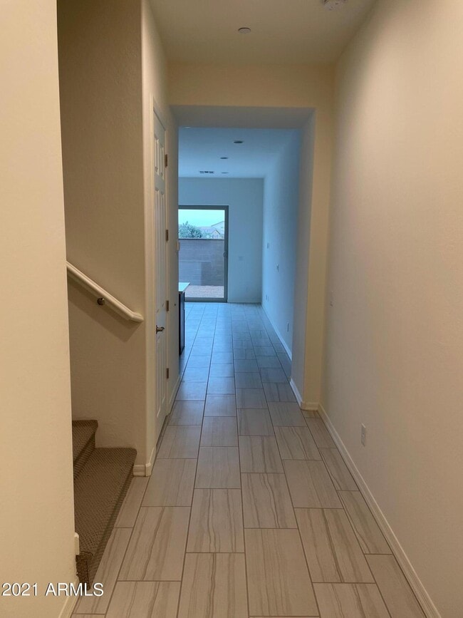
Flooring
Home Design
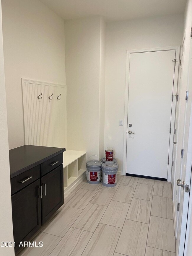
Interior Spaces
Kitchen
Laundry
Listing and Financial Details
Lot Details
Outdoor Features
Parking
Schools
Utilities
Overview
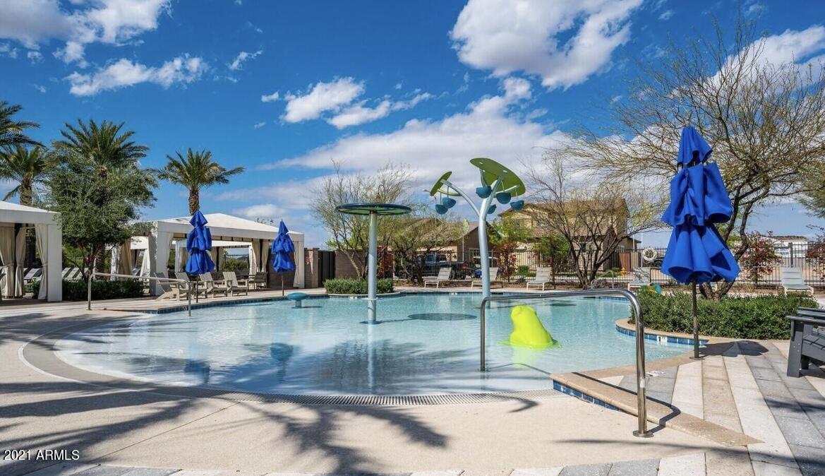
Recreation
The fees listed below are community-provided and may exclude utilities or add-ons. All payments are made directly to the property and are non-refundable unless otherwise specified. Use the Cost Calculator to determine costs based on your needs.
Property Fee Disclaimer: Based on community-supplied data and independent market research. Subject to change without notice. May exclude fees for mandatory or optional services and usage-based utilities.
Deer Valley is a family-friendly suburb and residential neighborhood that’s constantly evolving. There are abundant outdoor recreational opportunities in Deer Valley because of its proximity to several natural attractions like Deem Hills and Cave Buttes, both known for scenic hiking and mountain biking trails. Residents have easy access to abundant shopping opportunities without having to leave town at places like Deer Valley Towne Center and Bell Towne Plaza. Deer Valley is home to good public schools and is the ideal suburb for those commuting to Downtown Phoenix and beyond, located less than 20 miles south of town along Interstate 17.
Learn more about living in Deer Valley| Colleges & Universities | Distance | ||
|---|---|---|---|
| Colleges & Universities | Distance | ||
| Drive: | 11 min | 5.4 mi | |
| Drive: | 16 min | 9.2 mi | |
| Drive: | 17 min | 10.1 mi | |
| Drive: | 22 min | 12.0 mi |


Transportation options available in Phoenix include Metro Pkwy, located 11.0 miles from 1964 W Kinfield Trail. 1964 W Kinfield Trail is near Phoenix Sky Harbor International, located 27.0 miles or 38 minutes away.
| Transit / Subway | Distance | ||
|---|---|---|---|
| Transit / Subway | Distance | ||
|
|
Drive: | 16 min | 11.0 mi |
| Airports | Distance | ||
|---|---|---|---|
| Airports | Distance | ||
|
Phoenix Sky Harbor International
|
Drive: | 38 min | 27.0 mi |
Time and distance from 1964 W Kinfield Trail.
| Shopping Centers | Distance | ||
|---|---|---|---|
| Shopping Centers | Distance | ||
| Walk: | 11 min | 0.6 mi | |
| Walk: | 15 min | 0.8 mi | |
| Drive: | 5 min | 1.8 mi |
| Parks and Recreation | Distance | ||
|---|---|---|---|
| Parks and Recreation | Distance | ||
|
Paseo Highlands Park
|
Drive: | 6 min | 2.9 mi |
|
Adobe Dam Regional Park
|
Drive: | 8 min | 4.2 mi |
|
Adobe Mountain Park
|
Drive: | 9 min | 4.6 mi |
|
Reach 11 Recreation Area
|
Drive: | 14 min | 7.3 mi |
|
Turtle Rock Basin
|
Drive: | 13 min | 7.3 mi |
| Hospitals | Distance | ||
|---|---|---|---|
| Hospitals | Distance | ||
| Drive: | 7 min | 3.8 mi | |
| Drive: | 9 min | 5.4 mi | |
| Drive: | 17 min | 10.8 mi |
| Military Bases | Distance | ||
|---|---|---|---|
| Military Bases | Distance | ||
| Drive: | 35 min | 25.3 mi | |
| Drive: | 39 min | 26.9 mi | |
| Drive: | 115 min | 88.3 mi |

What Are Walk Score®, Transit Score®, and Bike Score® Ratings?
Walk Score® measures the walkability of any address. Transit Score® measures access to public transit. Bike Score® measures the bikeability of any address.
What is a Sound Score Rating?
A Sound Score Rating aggregates noise caused by vehicle traffic, airplane traffic and local sources
1964 W Kinfield Trail
Phoenix, AZ 85085


