Forte at 1440 Beacon
1440 Beacon St,
Brookline, MA 02446
$2,785 - $3,818 Plus Fees
Studio - 1 Bed 12 Month Lease
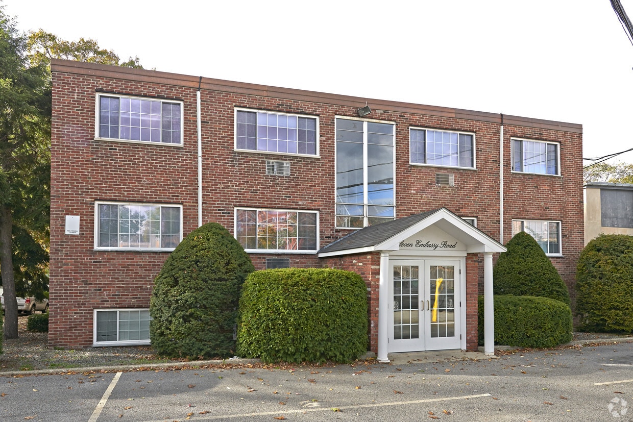
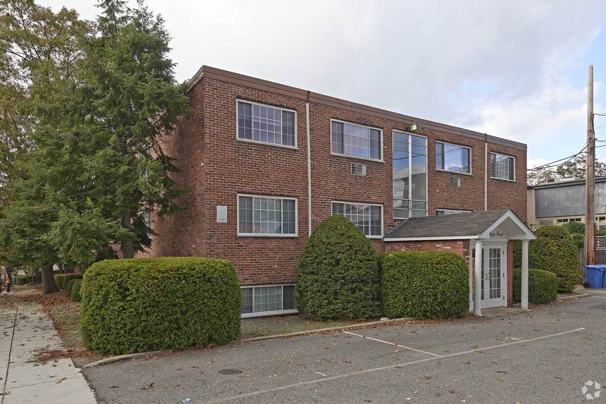
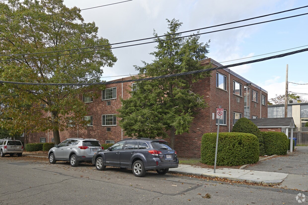
Discover your new home at 11 Embassy Rd. This property is situated in the St Elizabeths area of Brighton. From amenities to floor plan options, the leasing staff is excited to help you find your dream apartment. Offering 1 to 2 bedroom floor plans. It's time to come home to 11 Embassy Rd. Contact us or stop in to schedule a tour.
11 Embassy Rd is an apartment community located in Suffolk County and the 02135 ZIP Code. This area is served by the Boston Public Schools attendance zone.
High Speed Internet Access
Refrigerator
Smoke Free
Heating
Saint Elizabeth’s is a Brighton neighborhood situated about 10 miles away from Boston. Thanks to Saint Elizabeth’s top border sitting on Highway 20, commuting in and out of Brighton is easy. Some residents travel by car, but buses and railways make commuting via public transportation a breeze.
The neighborhood’s best amenities are two world-renowned hospitals, Saint Elizabeth’s Medical Center and Franciscan Children’s, that sit on the edge of town. Other great amenities of Saint Elizabeth’s include many local parks like Ringer Playground and Chestnut Hill Reservoir, which has great trails and greenspace. This neighborhood is also equipped with cozy coffee shops, restaurants serving international and American classics, and shopping plazas with grocers and convenience stores.
Saint Elizabeth’s has several rental options ranging from apartments to single-family homes.
Learn more about living in St Elizabeth'sCompare neighborhood and city base rent averages by bedroom.
| St Elizabeth's | Brighton, MA | |
|---|---|---|
| Studio | $2,617 | $2,389 |
| 1 Bedroom | $2,828 | $2,512 |
| 2 Bedrooms | $3,526 | $3,120 |
| 3 Bedrooms | $4,641 | $3,760 |
| Colleges & Universities | Distance | ||
|---|---|---|---|
| Colleges & Universities | Distance | ||
| Walk: | 12 min | 0.6 mi | |
| Drive: | 3 min | 1.2 mi | |
| Drive: | 7 min | 3.2 mi | |
| Drive: | 8 min | 3.7 mi |


Transportation options available in Brighton include Chiswick Road Station, located 0.3 mile from 11 Embassy Rd. 11 Embassy Rd is near General Edward Lawrence Logan International, located 9.7 miles or 19 minutes away.
| Transit / Subway | Distance | ||
|---|---|---|---|
| Transit / Subway | Distance | ||
|
|
Walk: | 5 min | 0.3 mi |
|
|
Walk: | 5 min | 0.3 mi |
|
|
Walk: | 6 min | 0.3 mi |
|
|
Walk: | 10 min | 0.5 mi |
|
|
Walk: | 12 min | 0.7 mi |
| Commuter Rail | Distance | ||
|---|---|---|---|
| Commuter Rail | Distance | ||
|
|
Drive: | 9 min | 3.7 mi |
|
|
Drive: | 9 min | 3.8 mi |
|
|
Drive: | 9 min | 4.5 mi |
| Drive: | 10 min | 4.6 mi | |
|
|
Drive: | 10 min | 5.1 mi |
| Airports | Distance | ||
|---|---|---|---|
| Airports | Distance | ||
|
General Edward Lawrence Logan International
|
Drive: | 19 min | 9.7 mi |
Scores provided by
Traffic
-Airport
-Businesses
-Scores provided by
HowLoud What is a Sound Score Rating? A Sound Score Rating aggregates noise caused by vehicle traffic, airplane traffic and local sources. How It WorksTime and distance from 11 Embassy Rd.
| Shopping Centers | Distance | ||
|---|---|---|---|
| Shopping Centers | Distance | ||
| Drive: | 3 min | 1.3 mi | |
| Drive: | 3 min | 1.6 mi | |
| Drive: | 6 min | 1.7 mi |
| Parks and Recreation | Distance | ||
|---|---|---|---|
| Parks and Recreation | Distance | ||
|
Chestnut Hill Reservation
|
Walk: | 10 min | 0.5 mi |
|
Hammond Pond Reservation
|
Drive: | 5 min | 2.2 mi |
|
Frederick Law Olmsted National Historic Site
|
Drive: | 5 min | 2.3 mi |
|
John Fitzgerald Kennedy National Historic Site
|
Drive: | 6 min | 2.6 mi |
|
Coit Observatory
|
Drive: | 8 min | 3.7 mi |
| Hospitals | Distance | ||
|---|---|---|---|
| Hospitals | Distance | ||
| Walk: | 14 min | 0.7 mi | |
| Drive: | 4 min | 1.3 mi | |
| Drive: | 5 min | 2.6 mi |
| Military Bases | Distance | ||
|---|---|---|---|
| Military Bases | Distance | ||
| Drive: | 28 min | 12.8 mi | |
| Drive: | 22 min | 13.0 mi |
Fitness Center Pool Dishwasher Kitchen In Unit Washer & Dryer Walk-In Closets
Fitness Center Clubhouse Balcony Granite Countertops Smoke Free Basketball Court
Pets Allowed Fitness Center Pool Walk-In Closets Business Center Package Service Elevator
What Are Walk Score®, Transit Score®, and Bike Score® Ratings?
Walk Score® measures the walkability of any address. Transit Score® measures access to public transit. Bike Score® measures the bikeability of any address.
What is a Sound Score Rating?
A Sound Score Rating aggregates noise caused by vehicle traffic, airplane traffic and local sources.

11 Embassy Rd
Brighton, MA 02135


