
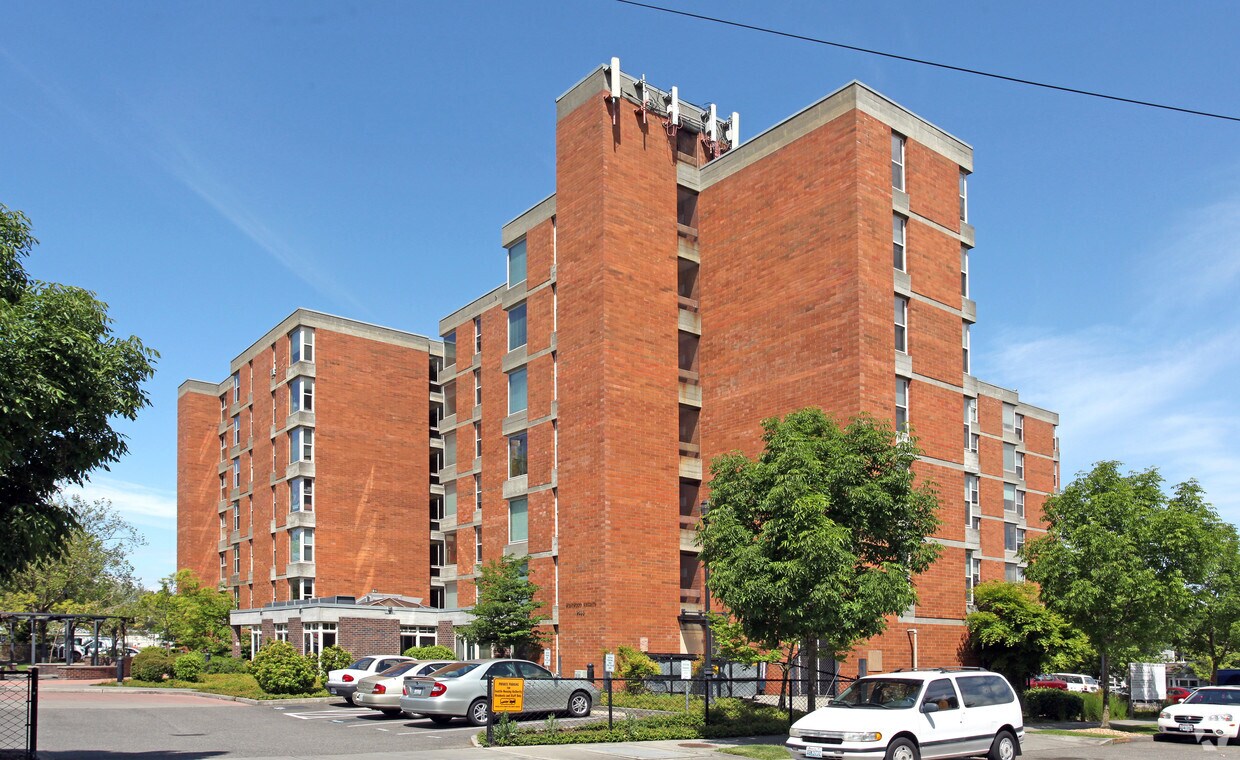
110 Roy Apartments
110 Roy St,
Seattle, WA 98119
Studio - 2 Beds $2,235 - $5,845
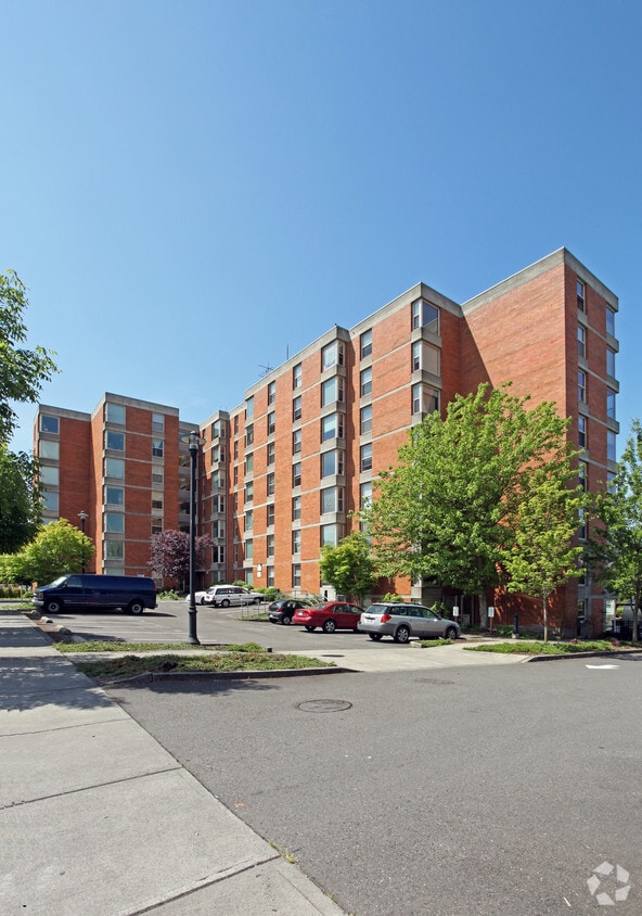
Westwood Heights is ready for your visit. This apartment community is located on 27th Ave Sw in Seattle. Schedule a time to check out the apartment floorplan options. Here at this community, the professional leasing staff is ready and waiting to help you find your perfect new home. Drop by the leasing office to talk about leasing your new apartment.
Westwood Heights is an apartment community located in King County and the 98126 ZIP Code. This area is served by the Seattle Public Schools attendance zone.
Located about 10 miles south of Downtown Seattle, Roxhill is an upscale, family-friendly neighborhood. Families enjoy sending their children to some of the best schools in the area, and renters of all ages and lifestyles appreciate a variety of architectural styles in town, from cabin-like houses to renovated apartments. Like many Washington locals, residents here love spending time outdoors in parks like Roxhill Park or gardening in the Barton Street P-Patch Community Gardens. Roxhill is also only two miles from Lincoln Park, a waterfront park with a scenic shoreline, trails, a saltwater pool, playground, and more. An excellent option for commuters, Roxhill is only 20 minutes away from Downtown Seattle.
Learn more about living in Roxhill| Colleges & Universities | Distance | ||
|---|---|---|---|
| Colleges & Universities | Distance | ||
| Drive: | 10 min | 3.0 mi | |
| Drive: | 20 min | 9.0 mi | |
| Drive: | 19 min | 9.0 mi | |
| Drive: | 20 min | 9.8 mi |


Transportation options available in Seattle include St Light Rail & Columbia City Station (Sb), located 6.3 miles from Westwood Heights. Westwood Heights is near Seattle-Tacoma International, located 8.1 miles or 19 minutes away, and Seattle Paine Field International, located 32.1 miles or 50 minutes away.
| Transit / Subway | Distance | ||
|---|---|---|---|
| Transit / Subway | Distance | ||
|
|
Drive: | 18 min | 6.3 mi |
|
|
Drive: | 18 min | 6.4 mi |
|
|
Drive: | 18 min | 6.5 mi |
|
|
Drive: | 17 min | 8.2 mi |
|
|
Drive: | 17 min | 8.3 mi |
| Commuter Rail | Distance | ||
|---|---|---|---|
| Commuter Rail | Distance | ||
|
|
Drive: | 17 min | 7.6 mi |
|
|
Drive: | 18 min | 9.5 mi |
|
|
Drive: | 27 min | 15.2 mi |
| Drive: | 27 min | 16.3 mi | |
|
|
Drive: | 36 min | 22.7 mi |
| Airports | Distance | ||
|---|---|---|---|
| Airports | Distance | ||
|
Seattle-Tacoma International
|
Drive: | 19 min | 8.1 mi |
|
Seattle Paine Field International
|
Drive: | 50 min | 32.1 mi |
Time and distance from Westwood Heights.
| Shopping Centers | Distance | ||
|---|---|---|---|
| Shopping Centers | Distance | ||
| Walk: | 2 min | 0.1 mi | |
| Walk: | 8 min | 0.4 mi | |
| Walk: | 9 min | 0.5 mi |
| Parks and Recreation | Distance | ||
|---|---|---|---|
| Parks and Recreation | Distance | ||
|
Fauntleroy Park
|
Walk: | 16 min | 0.9 mi |
|
Westcrest Park
|
Drive: | 4 min | 1.3 mi |
|
Lincoln Park - West Seattle
|
Drive: | 7 min | 2.3 mi |
|
Camp Long
|
Drive: | 8 min | 2.5 mi |
|
South Seattle Community College Arboretum
|
Drive: | 8 min | 2.6 mi |
| Hospitals | Distance | ||
|---|---|---|---|
| Hospitals | Distance | ||
| Drive: | 5 min | 1.5 mi | |
| Drive: | 12 min | 5.1 mi | |
| Drive: | 11 min | 5.2 mi |
| Military Bases | Distance | ||
|---|---|---|---|
| Military Bases | Distance | ||
| Drive: | 35 min | 14.7 mi | |
| Drive: | 89 min | 63.4 mi |
What Are Walk Score®, Transit Score®, and Bike Score® Ratings?
Walk Score® measures the walkability of any address. Transit Score® measures access to public transit. Bike Score® measures the bikeability of any address.
What is a Sound Score Rating?
A Sound Score Rating aggregates noise caused by vehicle traffic, airplane traffic and local sources


