
Eighty Nine Dekalb
89 Dekalb Ave,
Brooklyn, NY 11201
$3,720 - $7,845
Studio - 2 Beds
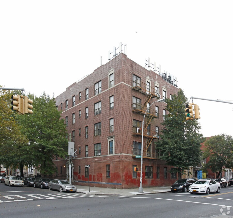
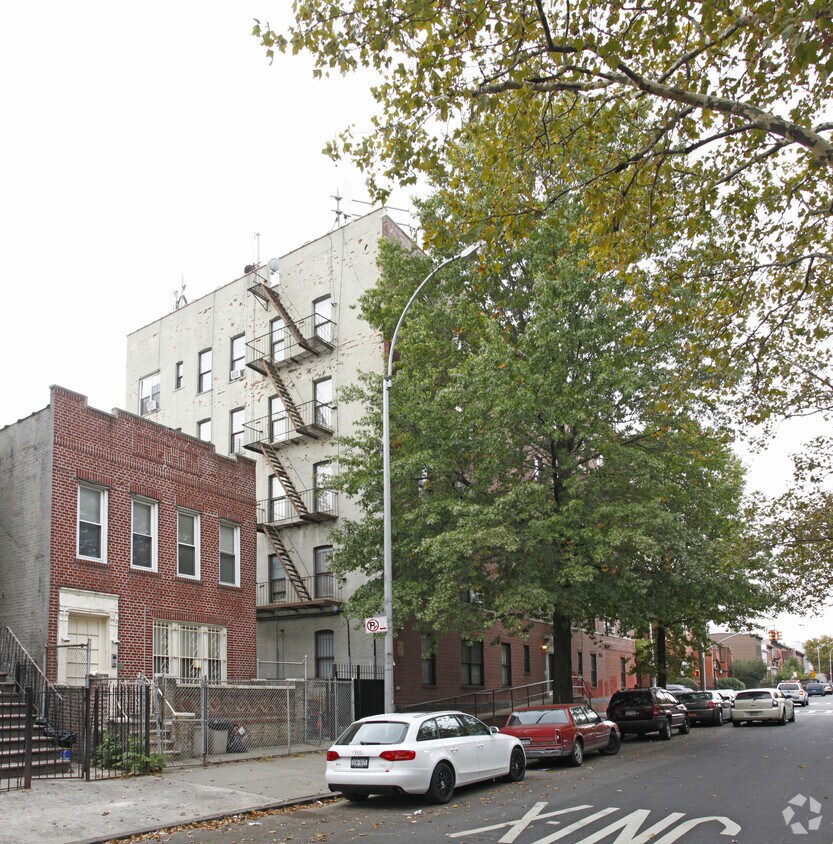
Find your new home at Samuel Court. This community is located at 680 Monroe St in Brooklyn. From amenities to availability, the professional leasing team is available to help you find your new place. At Samuel Court you're home.
Samuel Court is an apartment community located in Kings County and the 11221 ZIP Code. This area is served by the New York City Geographic District #16 attendance zone.
Dishwasher
Microwave
Refrigerator
Heating
As one of Brooklyn’s most eclectic neighborhoods, Stuyvesant Heights is a quaint urban neighborhood that boasts diversity, an abundance of mass transit, and historic charm. Located in the heart of Brooklyn, New York, this neighborhood houses some of the borough’s most historic brownstones and grand apartment buildings.
Though historic and vintage in appearance, the neighborhood is always improving with the addition of new restaurants, shops, and apartments around town. If you’re interested in bustling residential streets in a central urban location, you’ve found it. A plethora of apartment rentals reside along the historic streets of Stuyvesant Heights.
This neighborhood is the perfect blend of the old and the new. Explore tasty restaurants such as Peaches, a well-known place for modern, Southern cuisine in a historic brownstone. Enjoy numerous playgrounds, sports fields, and athletic courts within small green spaces around the neighborhood.
Learn more about living in Stuyvesant Heights| Colleges & Universities | Distance | ||
|---|---|---|---|
| Colleges & Universities | Distance | ||
| Drive: | 7 min | 2.2 mi | |
| Drive: | 8 min | 2.5 mi | |
| Drive: | 9 min | 2.8 mi | |
| Drive: | 9 min | 3.0 mi |


Transportation options available in Brooklyn include Kosciuszko Street, located 0.5 mile from Samuel Court. Samuel Court is near LaGuardia, located 8.9 miles or 19 minutes away, and John F Kennedy International, located 10.5 miles or 20 minutes away.
| Transit / Subway | Distance | ||
|---|---|---|---|
| Transit / Subway | Distance | ||
|
|
Walk: | 9 min | 0.5 mi |
|
|
Walk: | 9 min | 0.5 mi |
|
|
Walk: | 13 min | 0.7 mi |
|
|
Walk: | 14 min | 0.8 mi |
|
|
Walk: | 15 min | 0.8 mi |
| Commuter Rail | Distance | ||
|---|---|---|---|
| Commuter Rail | Distance | ||
|
|
Drive: | 5 min | 1.7 mi |
|
|
Drive: | 5 min | 2.1 mi |
|
|
Drive: | 9 min | 3.0 mi |
|
|
Drive: | 14 min | 4.6 mi |
|
|
Drive: | 14 min | 4.8 mi |
| Airports | Distance | ||
|---|---|---|---|
| Airports | Distance | ||
|
LaGuardia
|
Drive: | 19 min | 8.9 mi |
|
John F Kennedy International
|
Drive: | 20 min | 10.5 mi |
Time and distance from Samuel Court.
| Shopping Centers | Distance | ||
|---|---|---|---|
| Shopping Centers | Distance | ||
| Drive: | 5 min | 1.8 mi | |
| Drive: | 6 min | 1.9 mi | |
| Drive: | 6 min | 2.2 mi |
| Parks and Recreation | Distance | ||
|---|---|---|---|
| Parks and Recreation | Distance | ||
|
St. John's Park
|
Drive: | 4 min | 1.1 mi |
|
Maria Hernandez Park
|
Drive: | 5 min | 1.5 mi |
|
Brooklyn Children's Museum
|
Drive: | 5 min | 1.6 mi |
|
Hattie Carthan Garden
|
Drive: | 6 min | 1.8 mi |
|
Sternberg Park
|
Drive: | 6 min | 1.9 mi |
| Hospitals | Distance | ||
|---|---|---|---|
| Hospitals | Distance | ||
| Drive: | 4 min | 1.1 mi | |
| Drive: | 4 min | 1.2 mi | |
| Drive: | 5 min | 1.5 mi |
| Military Bases | Distance | ||
|---|---|---|---|
| Military Bases | Distance | ||
| Drive: | 21 min | 7.4 mi | |
| Drive: | 27 min | 9.9 mi |
What Are Walk Score®, Transit Score®, and Bike Score® Ratings?
Walk Score® measures the walkability of any address. Transit Score® measures access to public transit. Bike Score® measures the bikeability of any address.
What is a Sound Score Rating?
A Sound Score Rating aggregates noise caused by vehicle traffic, airplane traffic and local sources


