
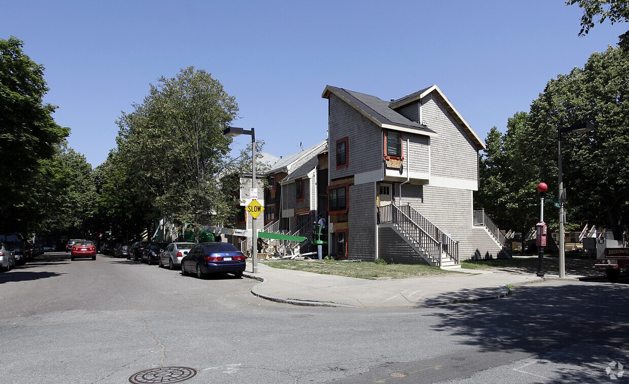
95 Saint
95 St. Alphonsus St,
Boston, MA 02120
$3,255 - $5,375 Plus Fees
Studio - 2 Beds

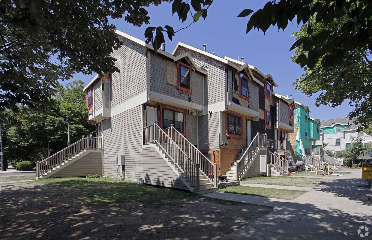
Come enjoy Roxbury living at Madison Park IV. This community is located at 99 Dewitt Dr in Roxbury. Let the professional leasing staff show you everything this community has in store. It's time to love where you live. Stop by for a visit today.
Madison Park IV is a townhouse community located in Suffolk County and the 02120 ZIP Code. This area is served by the Boston Public Schools attendance zone.
Controlled Access
24 Hour Access
Walking/Biking Trails
Public Transportation
Air Conditioning
Dishwasher
Refrigerator
Tub/Shower
Situated between the South End and Dudley Square, Lower Roxbury is a predominantly residential neighborhood brimming with apartments and town houses available for rent. Residents enjoy a walkable urban environment filled with diverse historical architecture.
Warren Street and Washington Street are the neighborhood’s main commercial thoroughfares, touting rows of specialty shops, markets, and eateries in historic buildings. Northeastern University, Wentworth Institute of Technology, and Massachusetts College of Art and Design are all just northwest of Lower Roxbury, offering the community a bevy of cultural and educational amenities. Getting around from Lower Roxbury is easy with access to multiple T stops on the Orange Line.
Learn more about living in Lower Roxbury| Colleges & Universities | Distance | ||
|---|---|---|---|
| Colleges & Universities | Distance | ||
| Walk: | 13 min | 0.7 mi | |
| Walk: | 18 min | 1.0 mi | |
| Drive: | 4 min | 1.2 mi | |
| Drive: | 4 min | 1.5 mi |


Transportation options available in Roxbury include Roxbury Crossing Station, located 0.8 mile from Madison Park IV. Madison Park IV is near General Edward Lawrence Logan International, located 5.8 miles or 11 minutes away.
| Transit / Subway | Distance | ||
|---|---|---|---|
| Transit / Subway | Distance | ||
|
|
Walk: | 14 min | 0.8 mi |
|
|
Walk: | 14 min | 0.8 mi |
|
|
Drive: | 3 min | 1.2 mi |
|
|
Drive: | 3 min | 1.3 mi |
|
|
Drive: | 3 min | 1.3 mi |
| Commuter Rail | Distance | ||
|---|---|---|---|
| Commuter Rail | Distance | ||
|
|
Drive: | 3 min | 1.1 mi |
| Drive: | 3 min | 1.4 mi | |
|
|
Drive: | 3 min | 1.6 mi |
|
|
Drive: | 7 min | 1.8 mi |
|
|
Drive: | 9 min | 4.6 mi |
| Airports | Distance | ||
|---|---|---|---|
| Airports | Distance | ||
|
General Edward Lawrence Logan International
|
Drive: | 11 min | 5.8 mi |
Time and distance from Madison Park IV.
| Shopping Centers | Distance | ||
|---|---|---|---|
| Shopping Centers | Distance | ||
| Drive: | 2 min | 1.2 mi | |
| Drive: | 10 min | 5.6 mi | |
| Drive: | 11 min | 5.8 mi |
| Parks and Recreation | Distance | ||
|---|---|---|---|
| Parks and Recreation | Distance | ||
|
Roxbury Heritage State Park
|
Walk: | 11 min | 0.6 mi |
|
Boston Public Garden
|
Drive: | 6 min | 2.1 mi |
|
Lower Neponset River Trail
|
Drive: | 4 min | 2.1 mi |
|
Charles River Reservation
|
Drive: | 5 min | 2.2 mi |
|
Coit Observatory
|
Drive: | 5 min | 2.7 mi |
| Hospitals | Distance | ||
|---|---|---|---|
| Hospitals | Distance | ||
| Walk: | 13 min | 0.7 mi | |
| Walk: | 19 min | 1.0 mi | |
| Drive: | 3 min | 1.3 mi |
| Military Bases | Distance | ||
|---|---|---|---|
| Military Bases | Distance | ||
| Drive: | 31 min | 15.8 mi |
What Are Walk Score®, Transit Score®, and Bike Score® Ratings?
Walk Score® measures the walkability of any address. Transit Score® measures access to public transit. Bike Score® measures the bikeability of any address.
What is a Sound Score Rating?
A Sound Score Rating aggregates noise caused by vehicle traffic, airplane traffic and local sources
99 Dewitt Dr
Roxbury, MA 02120


