


$1,586 - $5,156
Total Monthly PriceBase Rent$1,536 - $5,106
Required Monthly Fees$50
Total Monthly Price$1,586 - $5,156
1-2 Beds
1 Month Free
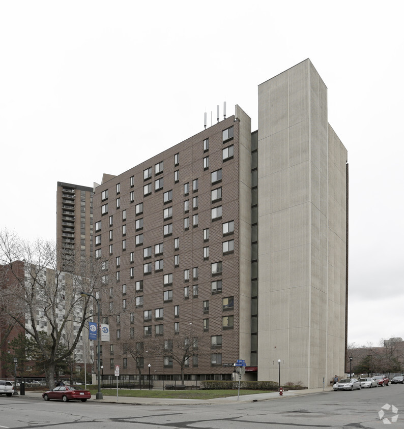
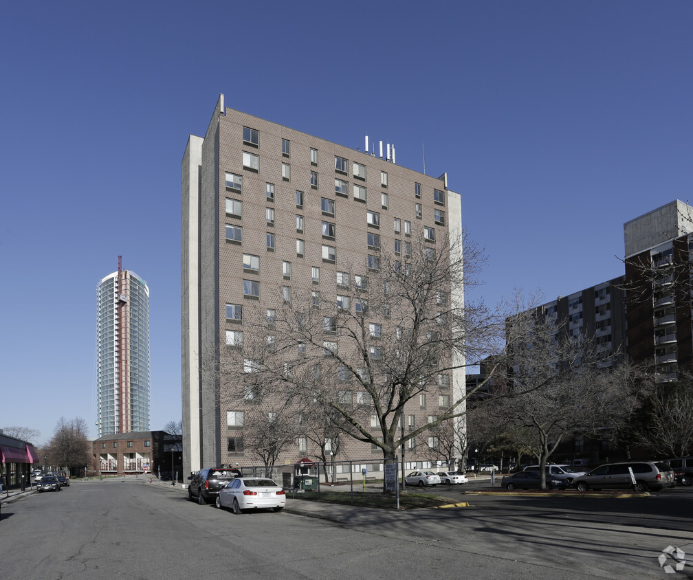
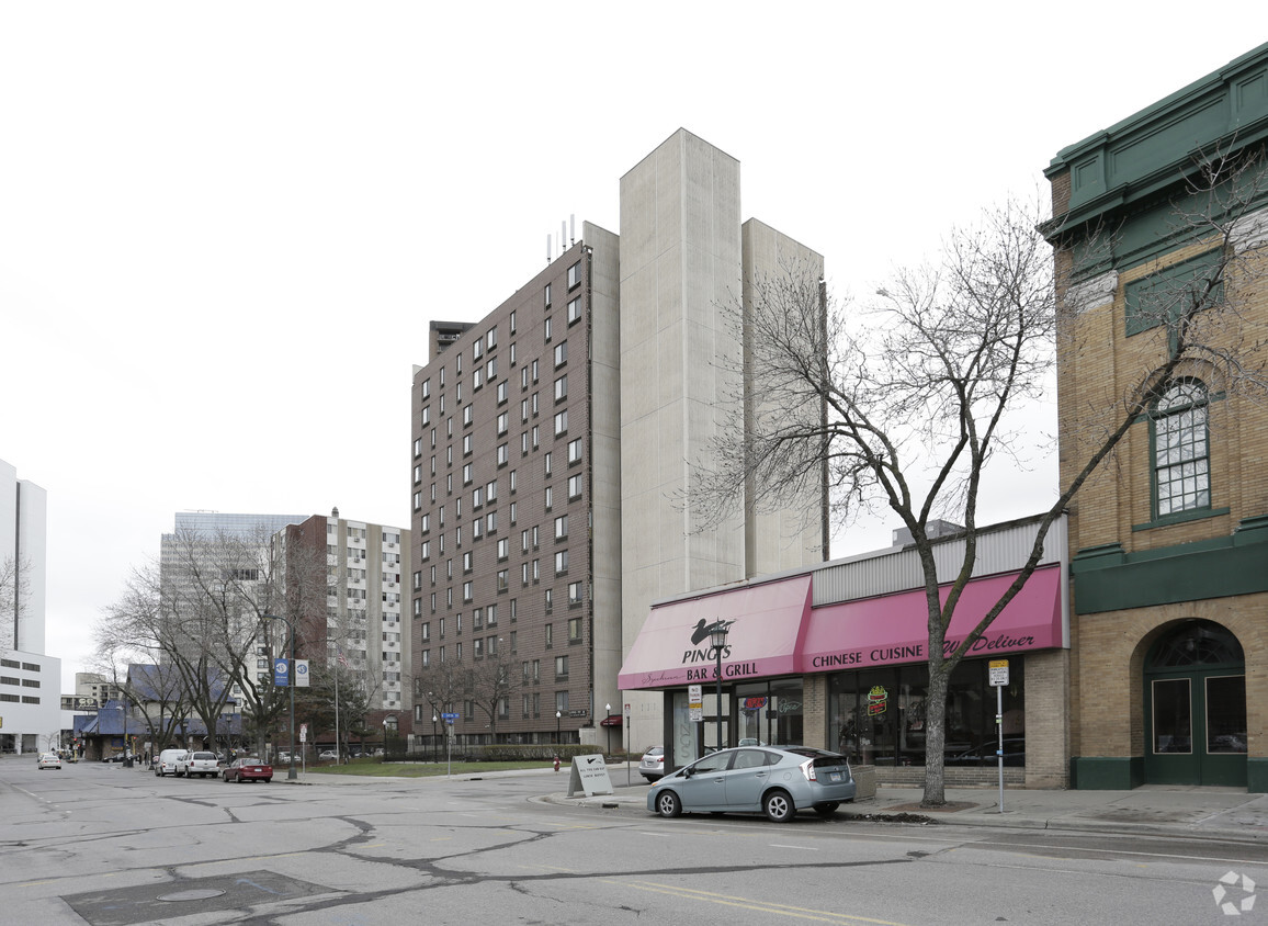
Pets Allowed Fitness Center Pool In Unit Washer & Dryer Walk-In Closets High-Speed Internet Controlled Access