Median Age
39 Years
Largest Age Group
25-34 Years
Approximately 16% of Residents
Under 20
22%
Over 65
17%


Avg Rent
$2,051
Population
45,526
Renter Mix
47% Rent
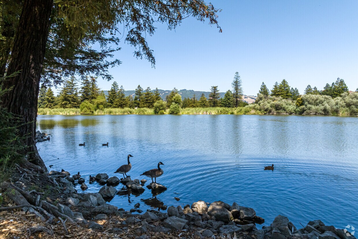
Rohnert Park sits at a practical crossroads in Sonoma County, close enough to San Francisco to access the Bay Area's economy yet far enough to feel like its own grounded, walkable community. Built as one of California's early planned cities, the layout is intentional—wide streets, interconnected bike paths, and a string of neighborhood parks give the city an open, unhurried character. Sonoma State University anchors the northwest side of town, drawing a steady mix of students, educators, and researchers who contribute to the city's lively arts and cultural calendar. The Spreckels Performing Arts Center and the Green Music Center on campus regularly bring theater, symphony performances, and live concerts to residents.
Neighborhood options range from established single-family areas to newer developments closer to the Rohnert Park Expressway corridor. Renters will find a solid selection of apartment communities, from garden-style complexes to townhome-style rentals, with layouts suited to a range of household sizes. Santa Rosa, just minutes north on Highway 101, expands access to employment, dining, and shopping. Petaluma sits equally close to the south. Rohnert Park's own SMART commuter rail station connects residents to destinations across Marin and Sonoma counties without getting behind the wheel.
Practice your swing or golf with your buddies at Foxtail Golf Club in Rohnert Park Neighborhood.
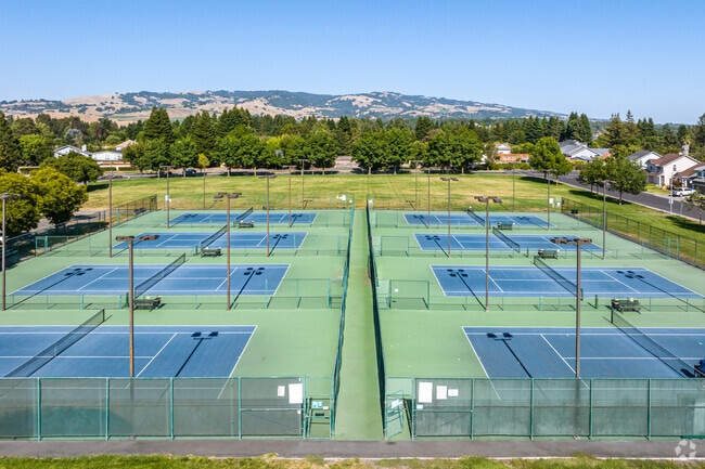
At Magnolia Park, you can enjoy playing tennis even after dark!
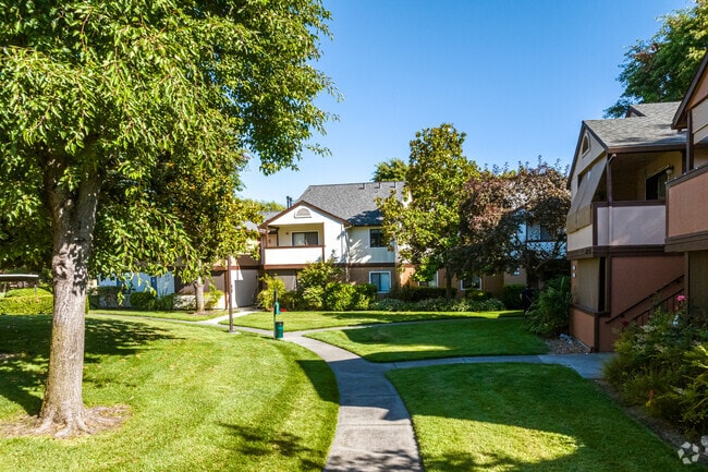
Condos in the Rohnert Park Neighborhood are often arranged in a landscaped, park-like setting.
At the Rohnert Park SMART train station, you can get almost anywhere fast.
Two-story homes in Penngrove might sport a circle driveway.
Penngrove also boasts a wonderful grocery market with everything you could ever need.
Median Household Income
$89,835
Average: $112,251
Education
13,258
Residents Have a Degree
Job Market
24,707
Workers Employed
Median Age
39 Years
Largest Age Group
25-34 Years
Approximately 16% of Residents
Under 20
22%
Over 65
17%
Housing Distribution
Rohnert Park has more homeowners than renters.

Education Distribution
Review this city's overall education levels.

As of August 2026, the average apartment rent in Rohnert Park, CA is $1,713 for a studio, $2,052 for one bedroom, $2,461 for two bedrooms, and $3,223 for three bedrooms. Apartment rent in Rohnert Park has increased by 2.3% in the past year.
Explore how walkable, bikeable, drivable, and transit-friendly Rohnert Park, CA is for everyday living.
Fairly Walkable
Walkability
Limited Public Transit
Transit
Moderately Drivable
Drivability
Moderately Bikeable
Bikeability
University Elementary At La Fiesta
Public
Grades K-5
291 Students

Public
Grades K-5
274 Students

Marguerite Hahn Elementary School
Public
Grades K-5
478 Students

Public
Grades K-5
630 Students

Public
Grades K-5
478 Students
Lawrence E. Jones Middle School
Public
Grades 6-8
775 Students
Public
Grades K-12
348 Students
Public
Grades 6-8
775 Students

Public
Grades 6-8
409 Students

Public
Grades 9-12
441 Students

Public
Grades 9-12
343 Students
Public
Grades K-12
348 Students
Public
Grades 9-12
1,755 Students
Public
Grades 9-12
48 Students

† Our analysis of utilities, groceries, transportation, healthcare, home prices, and other goods and services is sourced from the Cost of Living Index, a respected benchmark published by the Council for Community and Economic Research (C2ER) that provides a thorough overview of living expenses across different regions.
Rent data is provided by CoStar Group’s Market Trend reports. As the industry leader in commercial real estate information, analytics, and news, CoStar conducts extensive research to produce and maintain a comprehensive database of commercial real estate information. We combine this data with public record to provide the most up-to-date rental information available.
Consumer goods, services, and home prices are sourced from the Cost of Living Index published by the Council for Community and Economic Research (C2ER). The data on this page is updated quarterly. It was last published in June 2026.
Demographic information comes from Neustar and combines detailed address data with U.S. Census and American Community Survey statistics to produce reliable local estimates.


