Median Age
42 Years
Largest Age Group
50-59 Years
Approximately 14% of Residents
Under 20
23%
Over 65
19%
Avg Rent
$2,117
Population
26,996
Renter Mix
57% Rent
One of Boston's most distinctive neighborhoods, Mattapan takes its name from a Massachusett Indigenous word possibly meaning 'a place to sit.' Less than 10 miles south of Downtown Boston, the neighborhood centers on the busy intersection of Blue Hill Avenue, River Street, and Cummins Highway at Mattapan Square, where grocery stores are steps away, daily errands are easy to run on foot, and restaurants, barbershops, and local markets line the commercial corridors.
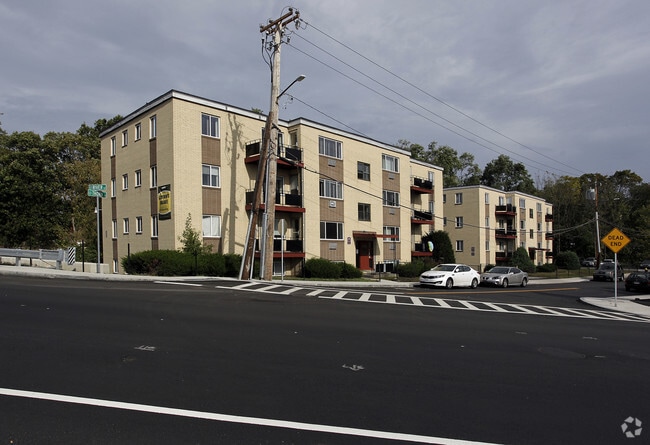
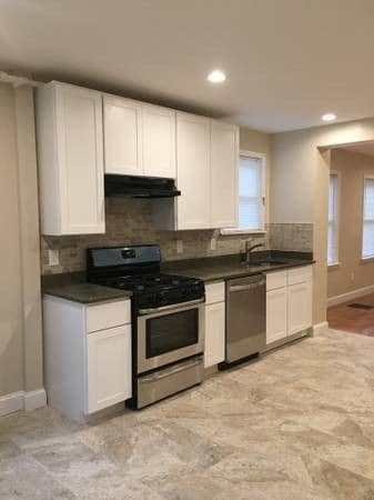
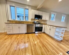
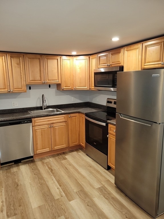
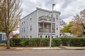
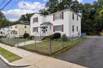
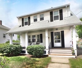
The rental landscape ranges from classic New England triple-deckers and two-family houses to small apartment buildings and public housing developments, giving the neighborhood a residential feel that stands apart from Boston's tower-dense downtown core. Renters looking for a range of unit types within a predominantly residential setting will find plenty of options across the roughly three square miles that make up the area.
The Mattapan Food and Fitness Coalition hosts weekend farmers markets and fresh food cooking courses, adding a community-focused dimension to everyday life. The award-winning Mattapan Branch of the Boston Public Library serves as a neighborhood anchor, and Mass Audubon's Boston Nature Center and Wildlife Sanctuary, just minutes away, offers 67 acres of urban trails and wildlife programming.
Median Household Income
$67,300
Average: $88,899
Education
5,517
Residents Have a Degree
Job Market
14,483
Workers Employed
Median Age
42 Years
Largest Age Group
50-59 Years
Approximately 14% of Residents
Under 20
23%
Over 65
19%
Housing Distribution
Mattapan has more renters than homeowners.

Education Distribution
Review this city's overall education levels.

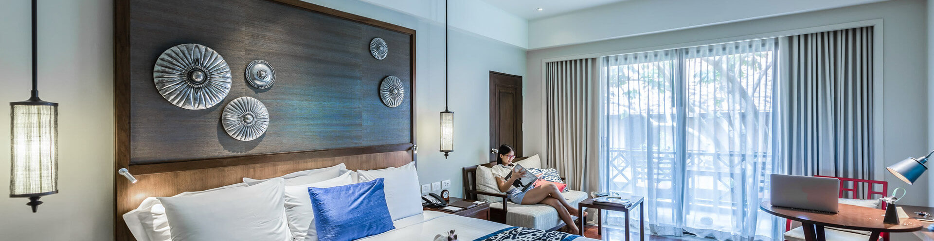
As of September 2026, the average apartment rent in Mattapan, MA is $2,179 for a studio, $2,117 for one bedroom, $2,384 for two bedrooms, and $1,584 for three bedrooms. Apartment rent in Mattapan has increased by 3.1% in the past year.
Explore how walkable, bikeable, drivable, and transit-friendly Mattapan, MA is for everyday living.
Moderately Walkable
Walkability
Good Public Transit
Transit
Moderately Drivable
Drivability
Moderately Bikeable
Bikeability

† Our analysis of utilities, groceries, transportation, healthcare, home prices, and other goods and services is sourced from the Cost of Living Index, a respected benchmark published by the Council for Community and Economic Research (C2ER) that provides a thorough overview of living expenses across different regions.
Rent data is provided by CoStar Group’s Market Trend reports. As the industry leader in commercial real estate information, analytics, and news, CoStar conducts extensive research to produce and maintain a comprehensive database of commercial real estate information. We combine this data with public record to provide the most up-to-date rental information available.
Consumer goods, services, and home prices are sourced from the Cost of Living Index published by the Council for Community and Economic Research (C2ER). The data on this page is updated quarterly. It was last published in September 2026.
Demographic information comes from Neustar and combines detailed address data with U.S. Census and American Community Survey statistics to produce reliable local estimates.