
Oberon
1160 Frost Ave,
Saint Paul, MN 55109
$1,539 - $3,606 Total Monthly Price
Studio - 3 Beds

Thanks to some odd geography, Maplewood has something of a split personality. This first-ring St. Paul suburb can be described as being shaped like a frying pan. The main business and residential area lies primarily to the north and east of St. Paul, while the chief amenities, such as the community center and an indoor mall, lie in the "pan." South Maplewood, or the "pan handle," runs south along Interstate 494 and has fewer business amenities. Residents of this area tend to shop in bordering Woodbury, since it takes a good half hour to get from the southern tip of Maplewood to the main northern business district. Meanwhile, Oakdale lies between the two sections, just east of Maplewood's pan handle and north of Woodbury. This young suburb is a quiet bedroom community with a scattering of business districts. Cornfields make up its eastern portion, giving the area a distinctly rural vibe, even though it's just 10 minutes outside of downtown St. Paul.
As of March 2026, the average apartment rent in Maplewood-Oakdale is $1,182 for a studio, $1,287 for one bedroom, $1,498 for two bedrooms, and $2,028 for three bedrooms. Apartment rent in Maplewood-Oakdale has increased by 1.4% in the past year.
Studio
591 sq ft
Average Sq Ft
$1,182/month
Average Rent
1 BR
686 sq ft
Average Sq Ft
$1,287/month
Average Rent
2 BR
923 sq ft
Average Sq Ft
$1,498/month
Average Rent
3 BR
1,143 sq ft
Average Sq Ft
$2,028/month
Average Rent
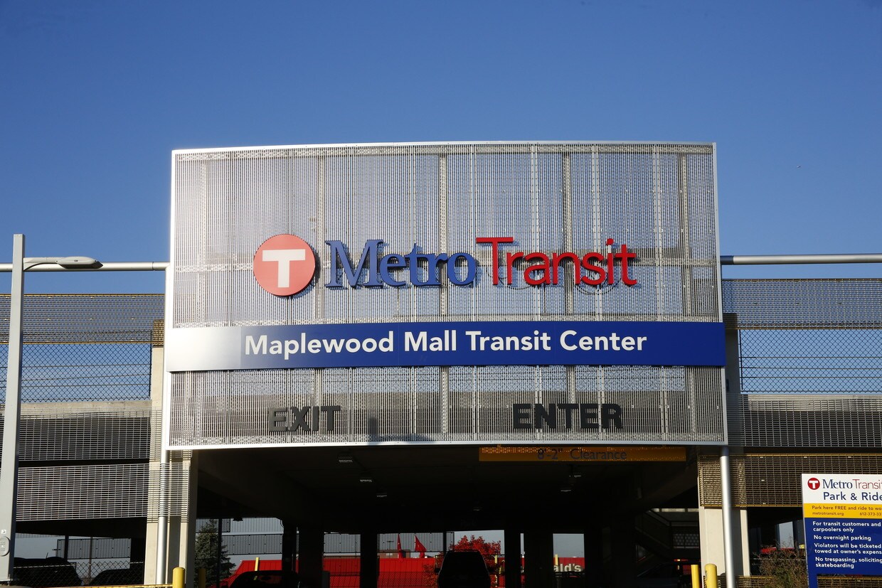
Explore how walkable, bikeable, drivable, and transit-friendly Maplewood-Oakdale - Maplewood, MN is for everyday living.
Somewhat Walkable
You might be able to get out and walk when living in this area. Some errands can be accomplished on foot, but for others you’ll need a car.
Some Transit
You'll likely want a car when living in this area since it has few transit options.
Bikeable
While there’s some bike infrastructure in this area, you’ll still need a car for many errands.

3,490
Communities
959,386
Units
895
Cities

715
Communities
198,749
Units
340
Cities

626
Communities
174,587
Units
250
Cities

625
Communities
125,220
Units
245
Cities
558
Communities
125,362
Units
221
Cities

457
Communities
108,184
Units
229
Cities
† Our analysis of utilities, groceries, transportation, healthcare, home prices, and other goods and services is sourced from the Cost of Living Index, a respected benchmark published by the Council for Community and Economic Research (C2ER) that provides a thorough overview of living expenses across different regions.
Rent data is provided by CoStar Group’s Market Trend reports. As the industry leader in commercial real estate information, analytics, and news, CoStar conducts extensive research to produce and maintain a comprehensive database of commercial real estate information. We combine this data with public record to provide the most up-to-date rental information available.
Consumer goods, services, and home prices are sourced from the Cost of Living Index published by the Council for Community and Economic Research (C2ER). The data on this page is updated quarterly. It was last published in February 2026.


