
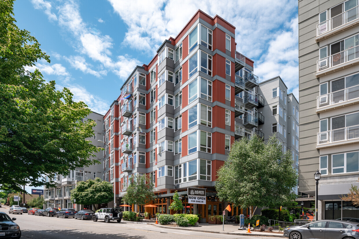
110 Roy Apartments
110 Roy St,
Seattle, WA 98119
Studio - 2 Beds $2,235 - $5,845
Bedrooms
1 - 2 bd
Bathrooms
1 - 2 ba
Square Feet
561 - 1,071 sq ft
Located in the heart of West Seattle, our apartments bring you a new level of luxury living and a pet-friendly environment in one of the most active, fun, and walkable metropolitan areas this city can offer. With an outstanding Walk Score, our neighborhood is a walker's paradise, and youll have unique, locally owned shops, eateries, neighborhood pubs, and grocery stores just outside your front door. Plus, we work with the MFTE program. Stop by Link and Mural Apartments today! Both communities have spacious studio, one, and two-bedroom floor plans with large windows that capture striking views and let in plenty of natural light. Enjoy the views and vibrancy of the city from your private patio or terrace. Cook a delicious dinner in your gourmet kitchen complete with sleek energy-efficient appliances. Regardless of which of our apartments in West Seattle you choose, you will have all these comforts, along with high speed Wi-Fi to support your technological needs. Few things are as exciting as watching the sun rise and set from a rooftop deck. And if that rooftop deck has a lounge, as ours do, your mornings and evenings are set for fun. To give you full control over your schedule, we have a fitness center and package lockers that are available 24/7, as well as Wi-Fi and the option to make payments online. Link has an underground parking garage and extra storage room, while Mural boasts rentable bikes and EV charging stations. Are you ready to find out more about our apartments in the West Seattle Junction? We cannot wait to tell you more, so reach out to us today so we can schedule a tour!
Link + Mural is an apartment community located in King County and the 98116 ZIP Code. This area is served by the Seattle Public Schools attendance zone.
Fitness Center
Grill
Lounge
Public Transportation
True to its name, Junction is named after the historic intersection of Alaska Street and California Avenue, which is home to the All Way Walk signal, the only intersection in Seattle where pedestrians can walk in every direction across the street. Junction is also known as West Seattle’s downtown district. This eclectic neighborhood is filled with art galleries, coffee shops, quirky shops, and longstanding establishments like the Husky Deli, which has been selling groceries and ice cream since the 1930s.
As the heart of West Seattle, Junction hosts most of the area’s special events including art walks, outdoor movie nights, and seasonal festivals like Summer Fest, a three-day street festival. Along with plenty of amenities and events, residents appreciate living near several excellent parks and beaches like Alki Beach Park and Me-Kwa-Mooks Park, which overlooks the Puget Sound.
Learn more about living in Junction| Colleges & Universities | Distance | ||
|---|---|---|---|
| Colleges & Universities | Distance | ||
| Drive: | 10 min | 2.7 mi | |
| Drive: | 14 min | 6.6 mi | |
| Drive: | 12 min | 6.6 mi | |
| Drive: | 14 min | 7.4 mi |


Transportation options available in Seattle include St Light Rail & Sodo Station (Sb), located 3.8 miles from Link + Mural. Link + Mural is near Seattle-Tacoma International, located 15.0 miles or 26 minutes away, and Seattle Paine Field International, located 29.7 miles or 44 minutes away.
| Transit / Subway | Distance | ||
|---|---|---|---|
| Transit / Subway | Distance | ||
|
|
Drive: | 9 min | 3.8 mi |
|
|
Drive: | 9 min | 3.9 mi |
|
|
Drive: | 9 min | 4.0 mi |
|
|
Drive: | 11 min | 4.6 mi |
|
|
Drive: | 11 min | 4.6 mi |
| Commuter Rail | Distance | ||
|---|---|---|---|
| Commuter Rail | Distance | ||
|
|
Drive: | 11 min | 5.3 mi |
|
|
Drive: | 21 min | 13.4 mi |
|
|
Drive: | 31 min | 19.2 mi |
| Drive: | 30 min | 20.3 mi | |
|
|
Drive: | 37 min | 23.4 mi |
| Airports | Distance | ||
|---|---|---|---|
| Airports | Distance | ||
|
Seattle-Tacoma International
|
Drive: | 26 min | 15.0 mi |
|
Seattle Paine Field International
|
Drive: | 44 min | 29.7 mi |
Time and distance from Link + Mural.
| Shopping Centers | Distance | ||
|---|---|---|---|
| Shopping Centers | Distance | ||
| Drive: | 4 min | 1.2 mi | |
| Drive: | 11 min | 3.5 mi | |
| Drive: | 8 min | 3.6 mi |
| Parks and Recreation | Distance | ||
|---|---|---|---|
| Parks and Recreation | Distance | ||
|
Emma Schmitz Park
|
Drive: | 4 min | 1.3 mi |
|
Me-Kwa-Mooks Park
|
Drive: | 4 min | 1.3 mi |
|
Camp Long
|
Drive: | 5 min | 1.5 mi |
|
Pigeon Point Park
|
Drive: | 6 min | 1.7 mi |
|
Schmitz Preserve Park
|
Drive: | 6 min | 2.1 mi |
| Hospitals | Distance | ||
|---|---|---|---|
| Hospitals | Distance | ||
| Drive: | 9 min | 2.7 mi | |
| Drive: | 12 min | 6.2 mi | |
| Drive: | 13 min | 6.5 mi |
| Military Bases | Distance | ||
|---|---|---|---|
| Military Bases | Distance | ||
| Drive: | 29 min | 12.4 mi | |
| Drive: | 92 min | 67.4 mi |
What Are Walk Score®, Transit Score®, and Bike Score® Ratings?
Walk Score® measures the walkability of any address. Transit Score® measures access to public transit. Bike Score® measures the bikeability of any address.
What is a Sound Score Rating?
A Sound Score Rating aggregates noise caused by vehicle traffic, airplane traffic and local sources

4727 42nd Ave SW
Seattle, WA 98116


