
AdMo Heights
1777 Columbia Rd NW,
Washington, DC 20009
$1,969 - $2,524
Studio - 1 Bed
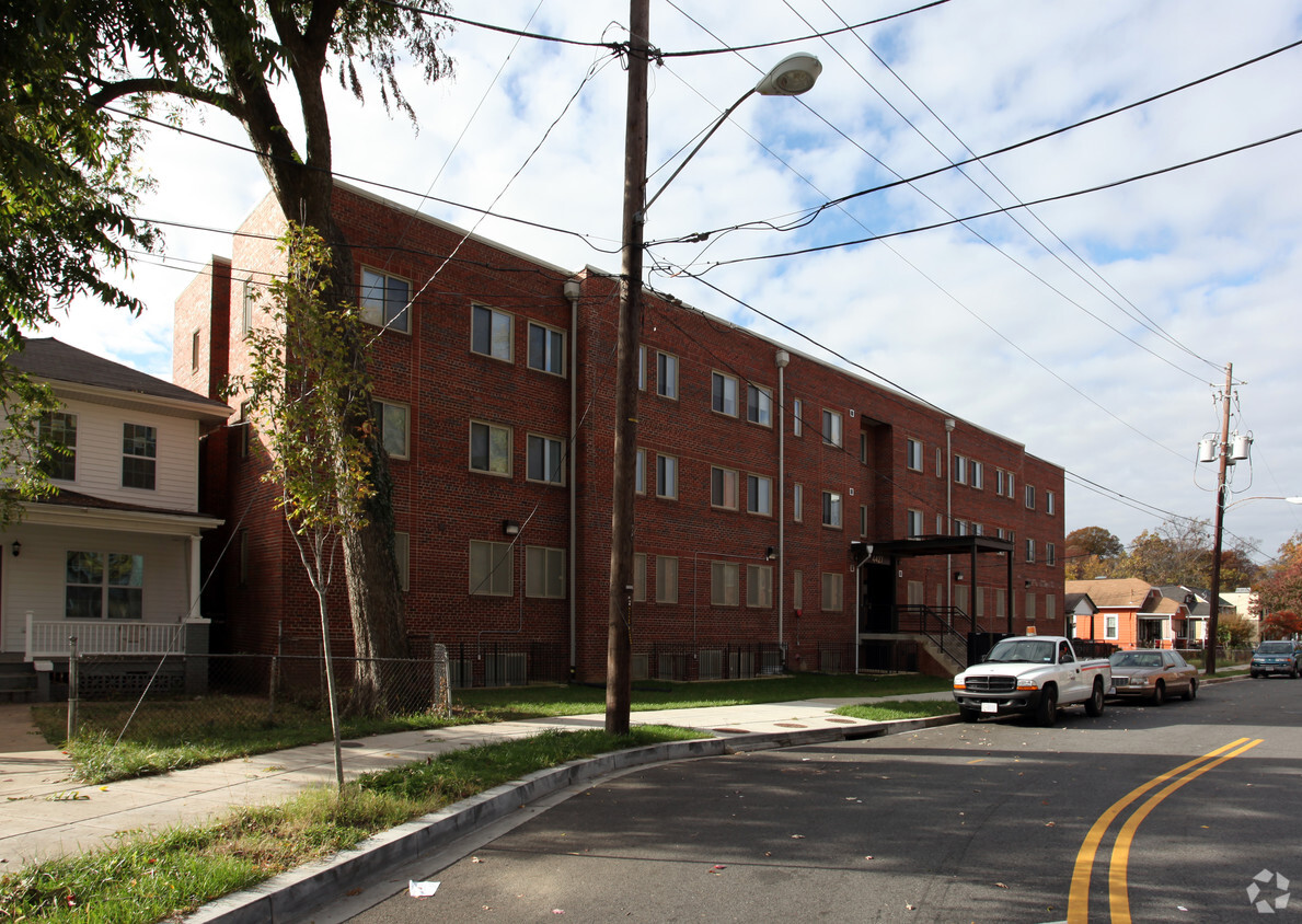
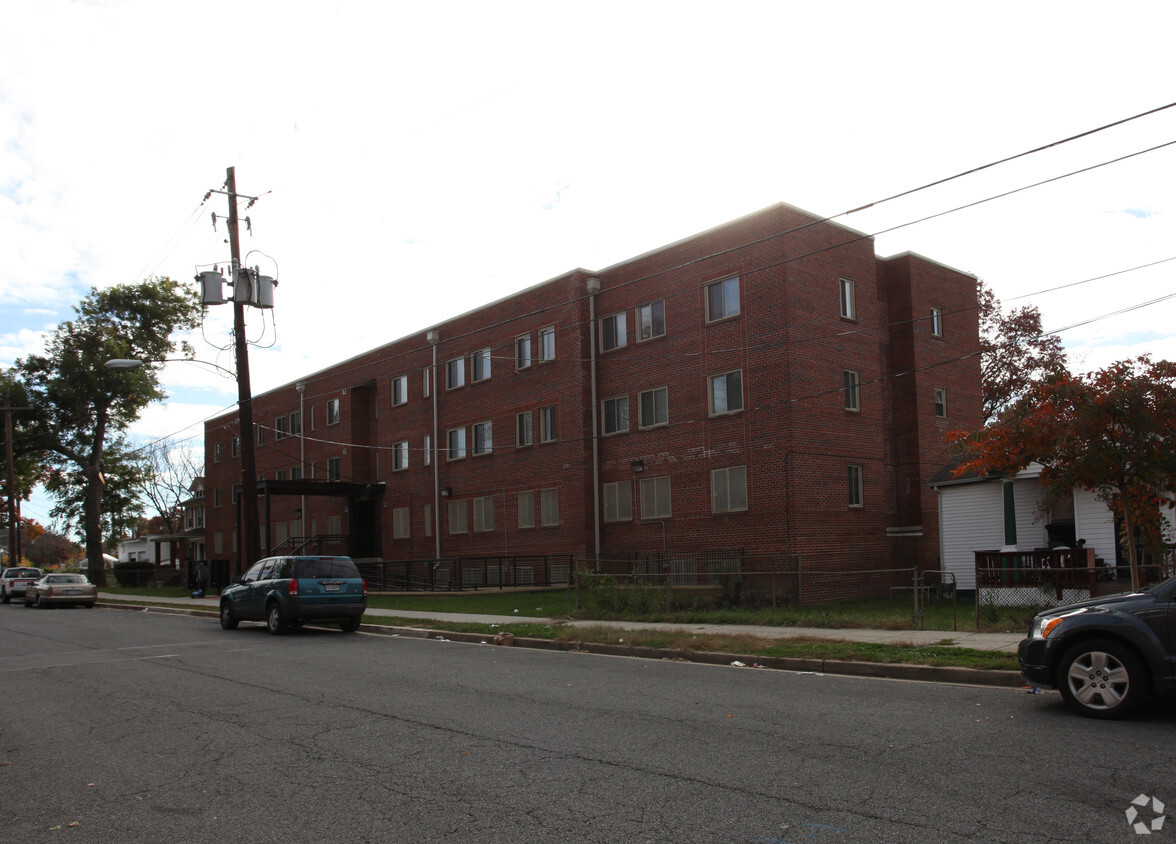

Enjoy Washington living at Hayes Street Apartments. Situated in the 20019 area of Washington on Hayes St. Ne, local residents have a quick connection to a mixture of great points of interest. Make a visit to see the available floorplan options. At Hayes Street Apartments, you'll have a wide selection of features and amenities. Start living the good life at Hayes Street Apartments. Contact or drop by the leasing office to schedule a tour.
Hayes Street Apartments is an apartment community located in District of Columbia County and the 20019 ZIP Code. This area is served by the District Of Columbia Public Schools attendance zone.
Dishwasher
High Speed Internet Access
Microwave
Refrigerator
The Minnesota Avenue neighborhood follows Minnesota Avenue from Capitol Street northward to Nannie Helen Burroughs Avenue. It extends east from the Anacostia River to the Capitol View neighborhood. It includes the Minnesota Avenue Metro Station, located on the Orange line. Fort Mahan Park, located on a hill in the middle of the neighborhood, features hiking trails, a lake, and remnants of a Civil War fort. The Minnesota Avenue neighborhood is located about four miles southeast of Downtown DC.
Learn more about living in Minnesota Ave| Colleges & Universities | Distance | ||
|---|---|---|---|
| Colleges & Universities | Distance | ||
| Drive: | 8 min | 3.9 mi | |
| Drive: | 9 min | 4.9 mi | |
| Drive: | 9 min | 4.9 mi | |
| Drive: | 11 min | 5.9 mi |

Transportation options available in Washington include Minnesota Avenue, located 0.6 mile from Hayes Street Apartments. Hayes Street Apartments is near Ronald Reagan Washington Ntl, located 10.4 miles or 19 minutes away, and Baltimore/Washington International Thurgood Marshall, located 27.7 miles or 41 minutes away.
| Transit / Subway | Distance | ||
|---|---|---|---|
| Transit / Subway | Distance | ||
|
|
Walk: | 11 min | 0.6 mi |
|
|
Walk: | 14 min | 0.7 mi |
|
|
Walk: | 19 min | 1.0 mi |
|
Capitol Heights, Blue/Silver Line Center Platform
|
Drive: | 5 min | 2.3 mi |
|
|
Drive: | 6 min | 2.9 mi |
| Commuter Rail | Distance | ||
|---|---|---|---|
| Commuter Rail | Distance | ||
|
|
Drive: | 7 min | 4.2 mi |
|
|
Drive: | 8 min | 4.3 mi |
|
|
Drive: | 11 min | 5.5 mi |
|
|
Drive: | 11 min | 5.7 mi |
|
|
Drive: | 11 min | 5.7 mi |
| Airports | Distance | ||
|---|---|---|---|
| Airports | Distance | ||
|
Ronald Reagan Washington Ntl
|
Drive: | 19 min | 10.4 mi |
|
Baltimore/Washington International Thurgood Marshall
|
Drive: | 41 min | 27.7 mi |
Time and distance from Hayes Street Apartments.
| Shopping Centers | Distance | ||
|---|---|---|---|
| Shopping Centers | Distance | ||
| Walk: | 16 min | 0.9 mi | |
| Drive: | 2 min | 1.1 mi | |
| Drive: | 3 min | 1.3 mi |
| Parks and Recreation | Distance | ||
|---|---|---|---|
| Parks and Recreation | Distance | ||
|
Kingman and Heritage Island Park
|
Drive: | 4 min | 2.2 mi |
|
Fort Dupont Park
|
Drive: | 6 min | 2.7 mi |
|
Bladensburg Waterfront Park
|
Drive: | 6 min | 3.6 mi |
|
Washington Youth Garden
|
Drive: | 6 min | 3.6 mi |
|
National Arboretum
|
Drive: | 10 min | 5.1 mi |
| Hospitals | Distance | ||
|---|---|---|---|
| Hospitals | Distance | ||
| Drive: | 6 min | 2.9 mi | |
| Drive: | 11 min | 5.3 mi | |
| Drive: | 11 min | 5.9 mi |
| Military Bases | Distance | ||
|---|---|---|---|
| Military Bases | Distance | ||
| Drive: | 10 min | 5.2 mi | |
| Drive: | 12 min | 6.5 mi |
Pets Allowed Fitness Center Pool Dishwasher Refrigerator Kitchen
Pets Allowed Fitness Center Pool Clubhouse Maintenance on site Business Center Laundry Facilities
What Are Walk Score®, Transit Score®, and Bike Score® Ratings?
Walk Score® measures the walkability of any address. Transit Score® measures access to public transit. Bike Score® measures the bikeability of any address.
What is a Sound Score Rating?
A Sound Score Rating aggregates noise caused by vehicle traffic, airplane traffic and local sources

4427 Hayes St NE
Washington, DC 20019


