
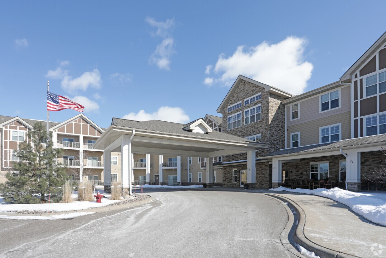
Pioneer Endicott
141 4th St E,
Saint Paul, MN 55101
$1,137 - $2,425 Total Monthly Price
Studio - 2 Beds

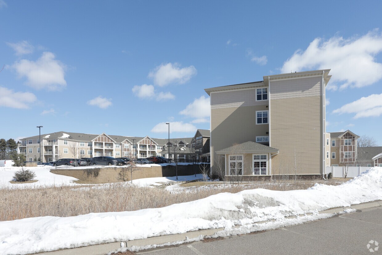
Thanks for visiting Gable Pines in St. Paul, MN. The 1260 County Road E E location in the 55110 neighborhood of St. Paul is a terrific place to live. The leasing team will assist you in finding your perfect new place. Contact us today to see available floor plans and find your new place at Gable Pines.
Gable Pines is an apartment community located in Ramsey County and the 55110 ZIP Code. This area is served by the White Bear Lake School District attendance zone.
Fitness Center
Lounge
Multi Use Room
Media Center/Movie Theatre
Dishwasher
Microwave
Refrigerator
Disposal
Living in Saint Paul combines metropolitan energy with neighborhood charm in Minnesota's capital city. Situated along the Mississippi River's bluffs, the city offers an extensive parks system, including Como Park Zoo and Conservatory, which features botanical gardens and year-round exhibits. Housing options span from historic properties along Summit Avenue to contemporary apartments in Lowertown. Current rental data shows one-bedroom apartments average $1,261 per month, reflecting a 2.2% annual increase, while two-bedroom units typically rent for $1,611, up 2.2% from the previous year.
Each Saint Paul neighborhood has its own distinct character, from Cathedral Hill's Victorian mansions to Lowertown's converted warehouses. The city hosts several higher education institutions, including Macalester College and the University of St. Thomas. Saint Paul's legacy as a major river port and railroad hub remains evident in its preserved architecture and cultural attractions.
Learn more about living in Saint Paul| Colleges & Universities | Distance | ||
|---|---|---|---|
| Colleges & Universities | Distance | ||
| Drive: | 6 min | 3.6 mi | |
| Drive: | 13 min | 8.0 mi | |
| Drive: | 13 min | 9.5 mi | |
| Drive: | 14 min | 9.7 mi |


Transportation options available in Saint Paul include Robert St Station, located 8.7 miles from Gable Pines. Gable Pines is near Minneapolis-St Paul International/Wold-Chamberlain, located 18.3 miles or 28 minutes away.
| Transit / Subway | Distance | ||
|---|---|---|---|
| Transit / Subway | Distance | ||
| Drive: | 12 min | 8.7 mi | |
| Drive: | 13 min | 8.8 mi | |
| Drive: | 12 min | 8.8 mi | |
| Drive: | 13 min | 8.9 mi | |
| Drive: | 13 min | 9.4 mi |
| Commuter Rail | Distance | ||
|---|---|---|---|
| Commuter Rail | Distance | ||
|
|
Drive: | 13 min | 8.9 mi |
|
|
Drive: | 18 min | 13.5 mi |
|
|
Drive: | 25 min | 15.7 mi |
|
|
Drive: | 29 min | 21.6 mi |
|
|
Drive: | 30 min | 23.2 mi |
| Airports | Distance | ||
|---|---|---|---|
| Airports | Distance | ||
|
Minneapolis-St Paul International/Wold-Chamberlain
|
Drive: | 28 min | 18.3 mi |
Scores provided by
Traffic
-Airport
-Businesses
-Scores provided by
HowLoud What is a Sound Score Rating? A Sound Score Rating aggregates noise caused by vehicle traffic, airplane traffic and local sources. How It WorksTime and distance from Gable Pines.
| Shopping Centers | Distance | ||
|---|---|---|---|
| Shopping Centers | Distance | ||
| Walk: | 15 min | 0.8 mi | |
| Drive: | 6 min | 2.9 mi |
| Parks and Recreation | Distance | ||
|---|---|---|---|
| Parks and Recreation | Distance | ||
|
Tamarack Nature Center
|
Drive: | 8 min | 4.7 mi |
|
Phelan Regional Park
|
Drive: | 11 min | 5.6 mi |
|
Keller Regional Park
|
Drive: | 10 min | 5.6 mi |
|
Harriet Alexander Nature Center
|
Drive: | 9 min | 5.7 mi |
|
Phalen Park
|
Drive: | 11 min | 5.7 mi |
| Hospitals | Distance | ||
|---|---|---|---|
| Hospitals | Distance | ||
| Drive: | 6 min | 3.1 mi | |
| Drive: | 12 min | 8.4 mi | |
| Drive: | 12 min | 8.5 mi |
| Military Bases | Distance | ||
|---|---|---|---|
| Military Bases | Distance | ||
| Drive: | 26 min | 17.0 mi |
Pets Allowed Fitness Center Pool Dishwasher Refrigerator Clubhouse Maintenance on site
Pets Allowed Pool Dishwasher Microwave Granite Countertops
High-Speed Internet Laundry Facilities
What Are Walk Score®, Transit Score®, and Bike Score® Ratings?
Walk Score® measures the walkability of any address. Transit Score® measures access to public transit. Bike Score® measures the bikeability of any address.
What is a Sound Score Rating?
A Sound Score Rating aggregates noise caused by vehicle traffic, airplane traffic and local sources.
1260 County Road E E
Saint Paul, MN 55110


