
Neon Burnsville
14501 Grand Ave S,
Burnsville, MN 55306
$1,644 - $2,744 Total Monthly Price
1-2 Beds 12 Month Lease
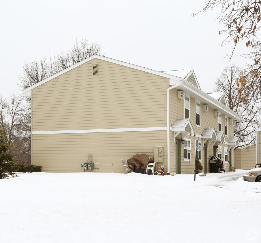
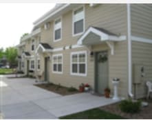
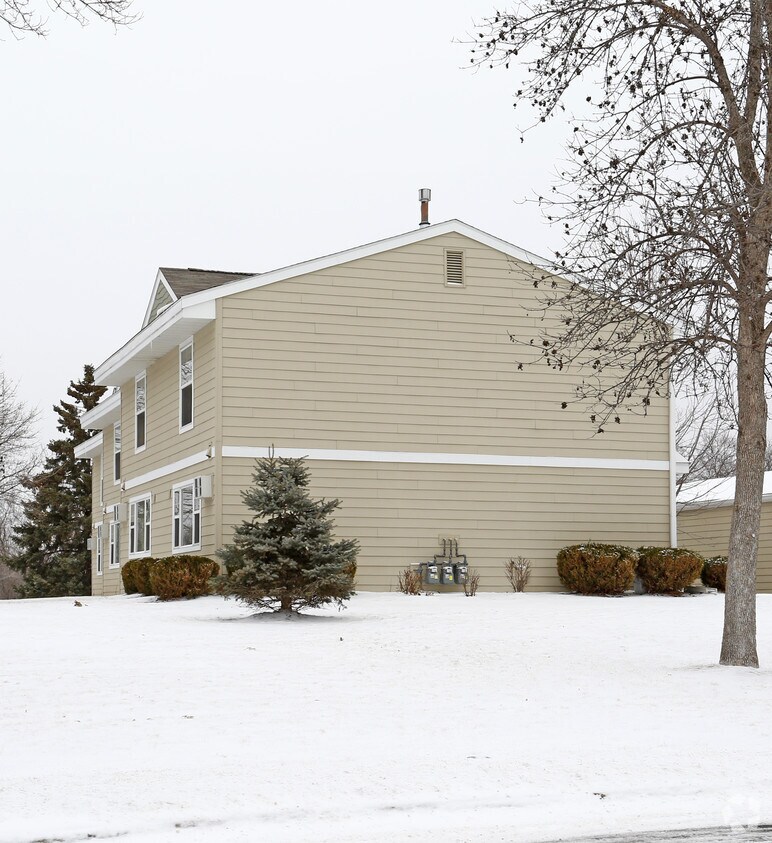
At Cliff Hill Townhouses in Burnsville, MN, find a great place to live. The location of this community is at 2064 E. 117th St. in the 55337 area of Burnsville. Come by to see the current floorplan options. From availability to location, the community staff will assist you in finding your perfect apartment. Contact us or drop by the leasing office to check the availability and set up a tour today and see Cliff Hill Townhouses.
Cliff Hill Townhouses is an apartment community located in Dakota County and the 55337 ZIP Code. This area is served by the Burnsville Public attendance zone.
Located 15 miles south of downtown Minneapolis, Burnsville combines suburban living with metropolitan accessibility. Home to more than 64,000 residents, this established community features the Heart of the City district, where you'll find retail spaces and contemporary condominiums alongside traditional neighborhoods with various housing options. One-bedroom apartments in Burnsville average $1,308 per month, while two-bedroom units average $1,605, with respective year-over-year changes of 2.2% and 0.7%.
Outdoor recreation abounds across Burnsville's 1,800 acres of parkland, including 79 public parks. Crystal Lake offers seasonal water activities, while Buck Hill provides winter sports opportunities with its 310-foot elevation. The Minnesota Valley National Wildlife Refuge extends along the city's northern border, offering additional outdoor exploration.
Learn more about living in Burnsville| Colleges & Universities | Distance | ||
|---|---|---|---|
| Colleges & Universities | Distance | ||
| Drive: | 9 min | 5.5 mi | |
| Drive: | 16 min | 9.1 mi | |
| Drive: | 22 min | 12.2 mi | |
| Drive: | 22 min | 12.2 mi |

Transportation options available in Burnsville include Mall Of America Station, located 5.9 miles from Cliff Hill Townhouses. Cliff Hill Townhouses is near Minneapolis-St Paul International/Wold-Chamberlain, located 8.3 miles or 15 minutes away.
| Transit / Subway | Distance | ||
|---|---|---|---|
| Transit / Subway | Distance | ||
|
|
Drive: | 10 min | 5.9 mi |
|
|
Drive: | 10 min | 6.2 mi |
|
|
Drive: | 11 min | 6.3 mi |
|
|
Drive: | 11 min | 6.6 mi |
|
John P Humphrey Interlocking
|
Drive: | 12 min | 7.3 mi |
| Commuter Rail | Distance | ||
|---|---|---|---|
| Commuter Rail | Distance | ||
|
|
Drive: | 23 min | 15.6 mi |
|
|
Drive: | 26 min | 17.0 mi |
|
|
Drive: | 35 min | 25.0 mi |
|
|
Drive: | 49 min | 36.1 mi |
|
|
Drive: | 51 min | 37.8 mi |
| Airports | Distance | ||
|---|---|---|---|
| Airports | Distance | ||
|
Minneapolis-St Paul International/Wold-Chamberlain
|
Drive: | 15 min | 8.3 mi |
Time and distance from Cliff Hill Townhouses.
| Shopping Centers | Distance | ||
|---|---|---|---|
| Shopping Centers | Distance | ||
| Walk: | 9 min | 0.5 mi | |
| Walk: | 11 min | 0.6 mi | |
| Drive: | 3 min | 1.2 mi |
| Parks and Recreation | Distance | ||
|---|---|---|---|
| Parks and Recreation | Distance | ||
|
Minnesota Valley National Wildlife Refuge
|
Drive: | 6 min | 1.7 mi |
|
Sea Life Minnesota
|
Drive: | 9 min | 5.9 mi |
|
Minnesota Zoo
|
Drive: | 13 min | 6.1 mi |
|
Minnesota Valley Wetland Management District
|
Drive: | 12 min | 6.9 mi |
|
Normandale Community College Japanese Garden
|
Drive: | 15 min | 8.7 mi |
| Hospitals | Distance | ||
|---|---|---|---|
| Hospitals | Distance | ||
| Drive: | 9 min | 4.7 mi | |
| Drive: | 18 min | 12.1 mi |
| Military Bases | Distance | ||
|---|---|---|---|
| Military Bases | Distance | ||
| Drive: | 17 min | 11.3 mi |
Pets Allowed Fitness Center Pool Dishwasher Refrigerator Walk-In Closets
Pets Allowed Fitness Center Pool Clubhouse Business Center Elevator Playground
Pets Allowed Fitness Center Dishwasher Kitchen In Unit Washer & Dryer Clubhouse
Pets Allowed Fitness Center Dishwasher Refrigerator Kitchen In Unit Washer & Dryer
Pets Allowed Fitness Center Pool In Unit Washer & Dryer Walk-In Closets High-Speed Internet Controlled Access
Pets Allowed Fitness Center Pool Dishwasher Refrigerator Clubhouse Maintenance on site
What Are Walk Score®, Transit Score®, and Bike Score® Ratings?
Walk Score® measures the walkability of any address. Transit Score® measures access to public transit. Bike Score® measures the bikeability of any address.
What is a Sound Score Rating?
A Sound Score Rating aggregates noise caused by vehicle traffic, airplane traffic and local sources

2064 E 117th St
Burnsville, MN 55337


