
The Village at Town Center
6410 Schmidt Ln,
El Cerrito, CA 94530
$2,450 - $3,000
Studio - 2 Beds
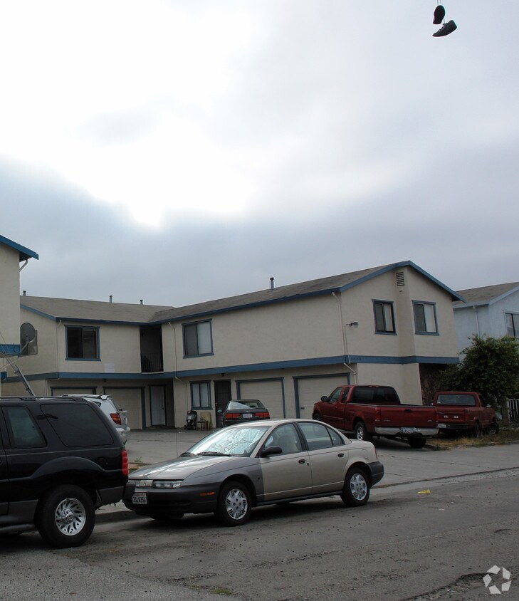
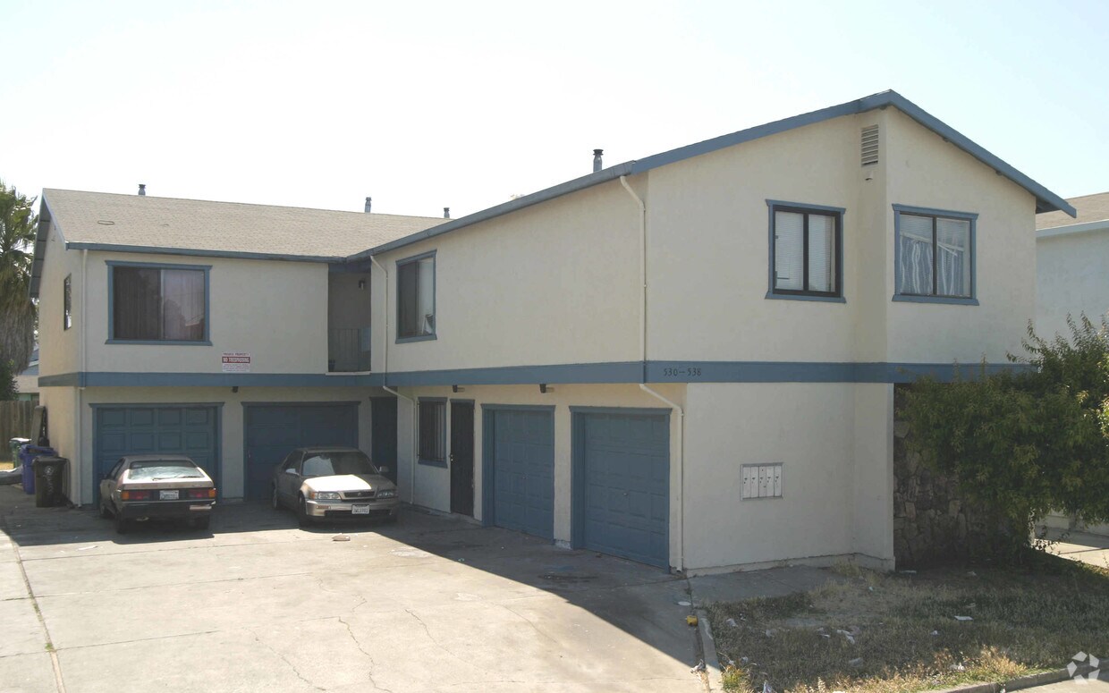
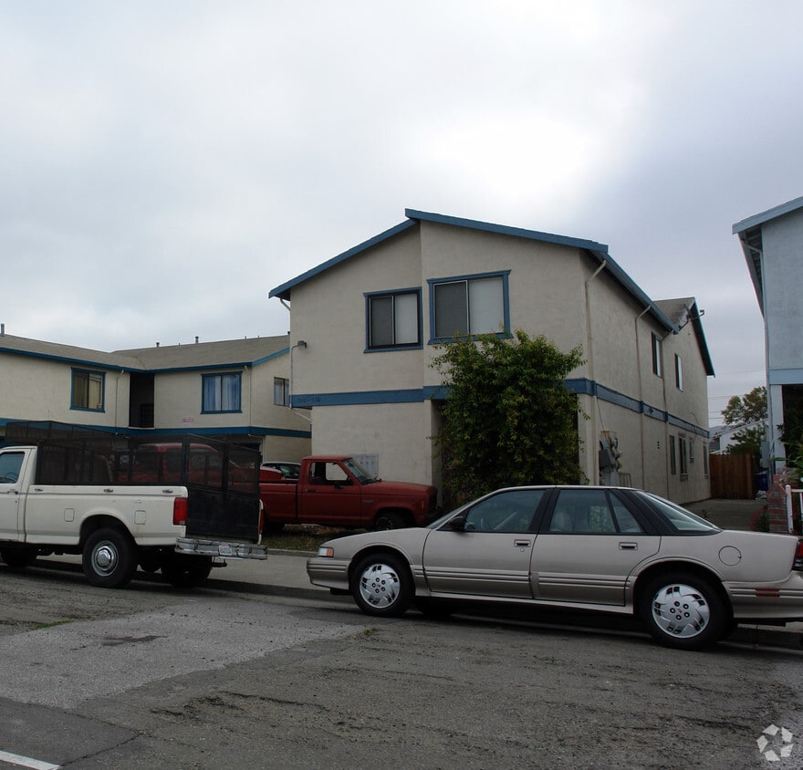

Meet your new apartment at 530-538 16th St in Richmond. The 94801 location is an ideal place for residents. From location to floorplan options, the leasing staff is ready to help you in finding your new place. Make sure you to check out the current floorplan options. Experience a new standard at 530-538 16th St.
530-538 16TH St is an apartment community located in Contra Costa County and the 94801 ZIP Code. This area is served by the West Contra Costa Unified attendance zone.
Belding Woods is a low-key suburban community right in the heart of Richmond. The neighborhood is almost entirely residential, with small corner grocery stores and locally-owned restaurants along 23rd Street and scattered among the blocks of houses. The cost of living is relatively low for the location, and rent tends to be quite affordable as well.
The NIAD Art Center, Richmond Art Center, and Richmond Auditorium are nearby, helping feed the community’s cultural appetites. Kaiser Permanente Richmond Medical Center is just a few blocks away, making Belding Woods a great location for healthcare professionals. Amtrak and BART rail service are both available from Richmond Station at the southwest corner of the neighborhood, putting the entire Bay Area (and beyond) at your fingertips, even without the use of a personal vehicle.
Learn more about living in Belding Woods| Colleges & Universities | Distance | ||
|---|---|---|---|
| Colleges & Universities | Distance | ||
| Drive: | 7 min | 3.0 mi | |
| Drive: | 16 min | 8.9 mi | |
| Drive: | 20 min | 10.0 mi | |
| Drive: | 21 min | 12.4 mi |


Transportation options available in Richmond include Richmond Station, located 0.4 mile from 530-538 16TH St. 530-538 16TH St is near Metro Oakland International, located 22.0 miles or 31 minutes away, and San Francisco International, located 29.6 miles or 44 minutes away.
| Transit / Subway | Distance | ||
|---|---|---|---|
| Transit / Subway | Distance | ||
|
|
Walk: | 7 min | 0.4 mi |
|
|
Drive: | 6 min | 2.7 mi |
|
|
Drive: | 6 min | 2.7 mi |
|
|
Drive: | 9 min | 4.8 mi |
|
|
Drive: | 15 min | 8.3 mi |
| Commuter Rail | Distance | ||
|---|---|---|---|
| Commuter Rail | Distance | ||
| Walk: | 7 min | 0.4 mi | |
|
|
Drive: | 12 min | 7.6 mi |
|
|
Drive: | 14 min | 9.4 mi |
| Drive: | 18 min | 10.6 mi | |
| Drive: | 18 min | 11.6 mi |
| Airports | Distance | ||
|---|---|---|---|
| Airports | Distance | ||
|
Metro Oakland International
|
Drive: | 31 min | 22.0 mi |
|
San Francisco International
|
Drive: | 44 min | 29.6 mi |
Time and distance from 530-538 16TH St.
| Shopping Centers | Distance | ||
|---|---|---|---|
| Shopping Centers | Distance | ||
| Walk: | 8 min | 0.4 mi | |
| Drive: | 4 min | 1.6 mi | |
| Drive: | 5 min | 2.6 mi |
| Parks and Recreation | Distance | ||
|---|---|---|---|
| Parks and Recreation | Distance | ||
|
Rosie the Riveter WWII Home Front National Historical Park
|
Drive: | 6 min | 2.3 mi |
|
Marina Park & Green
|
Drive: | 6 min | 2.3 mi |
|
Shimada Friendship Park
|
Drive: | 7 min | 2.8 mi |
|
Miller/Knox Regional Shoreline
|
Drive: | 7 min | 3.4 mi |
|
Brooks Island Regional Preserve
|
Drive: | 11 min | 5.0 mi |
| Hospitals | Distance | ||
|---|---|---|---|
| Hospitals | Distance | ||
| Drive: | 19 min | 10.5 mi | |
| Drive: | 16 min | 11.5 mi | |
| Drive: | 17 min | 11.5 mi |
| Military Bases | Distance | ||
|---|---|---|---|
| Military Bases | Distance | ||
| Drive: | 7 min | 2.9 mi | |
| Drive: | 12 min | 5.4 mi | |
| Drive: | 25 min | 15.6 mi |
What Are Walk Score®, Transit Score®, and Bike Score® Ratings?
Walk Score® measures the walkability of any address. Transit Score® measures access to public transit. Bike Score® measures the bikeability of any address.
What is a Sound Score Rating?
A Sound Score Rating aggregates noise caused by vehicle traffic, airplane traffic and local sources

530-538 16TH St
Richmond, CA 94801


