$2,400
Total Monthly Price2 Beds, 2 Baths, 1,260 sq ft


Bedrooms
2
Bathrooms
2
Square Feet
1,016 sq ft
Available
Available Oct 10

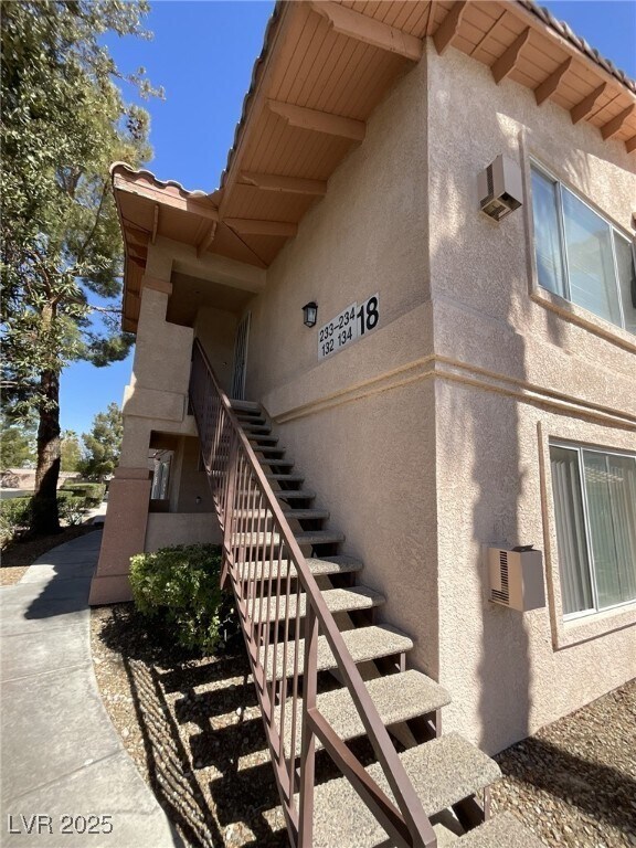
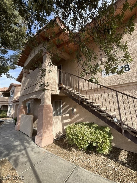
Great Summerlin-Adjacent Location! Spacious 2nd floor 1 level 2 bed, 2 bath, Covered patio with vaulted ceilings and a large living room featuring a gas fireplace. Recently updated with fresh two-tone paint, new blinds, and luxury vinyl plank flooring throughout – no carpet. Community amenities include a pool and covered parking. Convenient access to Summerlin Parkway, shopping, schools, parks, Tivoli Village, Sun Coast, Rampart Hotel & close to Summerlin Hospital.
350 S Durango Dr is a condo located in Clark County and the 89145 ZIP Code.
Home Type
Year Built
Bedrooms and Bathrooms
Home Design
Interior Spaces
Kitchen
Laundry
Listing and Financial Details
Lot Details
Outdoor Features
Parking
Schools
Utilities
Overview
Pet Policy
Recreation
The fees below are based on community-supplied data and may exclude additional fees and utilities.
Angel Park is a small suburban area with several neighborhoods west of downtown Las Vegas Strip. This area is filled with ranch and Spanish-style homes, creating the perfect landscape for those looking to live in a quieter area with attractive amenities. This region is popular among families because of access to good schools. This area is home to the Angel Park Golf Course and the Suncoast Hotel and Casino, providing plenty of leisure activities for locals and residents alike. There are several natural areas for locals to enjoy.
Angel Park is known for its abundance of commercial centers. Trivoli Village offers high-end boutiques, professional offices, and a variety of restaurants serving elevated American Fare. Boca Park and Crossroads Commons have several grocery stores and big box department stores. Although Angel Park has plenty to offer, the area is only a short drive away from several popular destinations.
Learn more about living in Angel Park| Colleges & Universities | Distance | ||
|---|---|---|---|
| Colleges & Universities | Distance | ||
| Drive: | 8 min | 4.0 mi | |
| Drive: | 13 min | 7.5 mi | |
| Drive: | 23 min | 12.2 mi | |
| Drive: | 20 min | 13.0 mi |
Transportation options available in Las Vegas include Sahara Station, located 9.3 miles from 350 S Durango Dr Unit 234. 350 S Durango Dr Unit 234 is near Harry Reid International, located 13.4 miles or 25 minutes away, and Boulder City Municipal, located 34.5 miles or 45 minutes away.
| Transit / Subway | Distance | ||
|---|---|---|---|
| Transit / Subway | Distance | ||
|
|
Drive: | 16 min | 9.3 mi |
|
|
Drive: | 19 min | 9.8 mi |
|
|
Drive: | 19 min | 10.1 mi |
|
|
Drive: | 19 min | 10.3 mi |
|
|
Drive: | 20 min | 11.0 mi |
| Airports | Distance | ||
|---|---|---|---|
| Airports | Distance | ||
|
Harry Reid International
|
Drive: | 25 min | 13.4 mi |
|
Boulder City Municipal
|
Drive: | 45 min | 34.5 mi |
Time and distance from 350 S Durango Dr Unit 234.
| Shopping Centers | Distance | ||
|---|---|---|---|
| Shopping Centers | Distance | ||
| Walk: | 15 min | 0.8 mi | |
| Walk: | 15 min | 0.8 mi | |
| Drive: | 3 min | 1.4 mi |
| Parks and Recreation | Distance | ||
|---|---|---|---|
| Parks and Recreation | Distance | ||
|
Springs Preserve
|
Drive: | 11 min | 6.2 mi |
|
Spring Mountains National Recreation Area
|
Drive: | 14 min | 8.3 mi |
|
DISCOVERY Children's Museum
|
Drive: | 14 min | 9.2 mi |
|
Las Vegas Natural History Museum
|
Drive: | 13 min | 9.3 mi |
|
Shark Reef at Mandalay Bay
|
Drive: | 21 min | 11.9 mi |
| Hospitals | Distance | ||
|---|---|---|---|
| Hospitals | Distance | ||
| Drive: | 8 min | 3.4 mi | |
| Drive: | 7 min | 4.0 mi | |
| Drive: | 10 min | 5.2 mi |
| Military Bases | Distance | ||
|---|---|---|---|
| Military Bases | Distance | ||
| Drive: | 34 min | 20.8 mi |
$2,400
Total Monthly Price2 Beds, 2 Baths, 1,260 sq ft
$1,300
Total Monthly Price2 Beds, 1 Bath, 875 sq ft
What Are Walk Score®, Transit Score®, and Bike Score® Ratings?
Walk Score® measures the walkability of any address. Transit Score® measures access to public transit. Bike Score® measures the bikeability of any address.
What is a Sound Score Rating?
A Sound Score Rating aggregates noise caused by vehicle traffic, airplane traffic and local sources